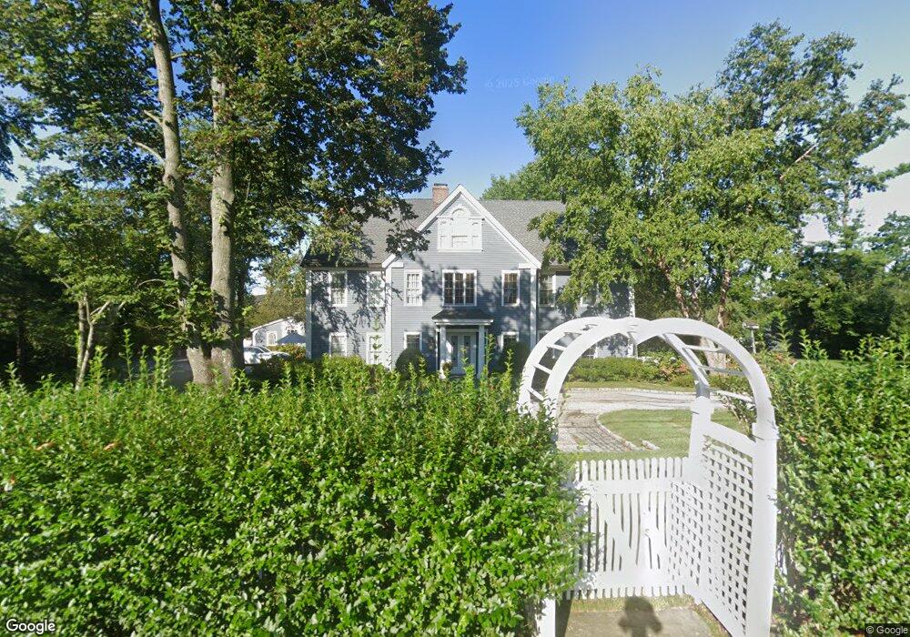
190 Long Neck Point Rd Darien, CT 06820
Estimated Value: $5,074,000 - $6,428,000
5
Beds
5
Baths
7,400
Sq Ft
$809/Sq Ft
Est. Value
About This Home
This home is located at 190 Long Neck Point Rd, Darien, CT 06820 and is currently estimated at $5,985,088, approximately $808 per square foot. 190 Long Neck Point Rd is a home located in Fairfield County with nearby schools including Tokeneke Elementary School, Middlesex Middle School, and Darien High School.
Ownership History
Date
Name
Owned For
Owner Type
Purchase Details
Closed on
Jun 24, 2003
Sold by
Nissen David and Nissen Lynn
Bought by
Bass Shannon M and Bass Pamela B
Current Estimated Value
Purchase Details
Closed on
Aug 19, 1999
Sold by
Smith Llewellyn P and Smith Christy A
Bought by
Nissen David and Nissen Lynn
Create a Home Valuation Report for This Property
The Home Valuation Report is an in-depth analysis detailing your home's value as well as a comparison with similar homes in the area
Home Values in the Area
Average Home Value in this Area
Purchase History
| Date | Buyer | Sale Price | Title Company |
|---|---|---|---|
| Bass Shannon M | $3,150,000 | -- | |
| Nissen David | $2,200,000 | -- |
Source: Public Records
Mortgage History
| Date | Status | Borrower | Loan Amount |
|---|---|---|---|
| Previous Owner | Nissen David | $620,000 | |
| Previous Owner | Nissen David | $620,000 | |
| Previous Owner | Nissen David | $200,000 |
Source: Public Records
Tax History Compared to Growth
Tax History
| Year | Tax Paid | Tax Assessment Tax Assessment Total Assessment is a certain percentage of the fair market value that is determined by local assessors to be the total taxable value of land and additions on the property. | Land | Improvement |
|---|---|---|---|---|
| 2025 | $50,652 | $3,272,080 | $1,977,640 | $1,294,440 |
| 2024 | $48,067 | $3,272,080 | $1,977,640 | $1,294,440 |
| 2023 | $44,600 | $2,532,670 | $1,412,600 | $1,120,070 |
| 2022 | $43,638 | $2,532,670 | $1,412,600 | $1,120,070 |
| 2021 | $42,650 | $2,532,670 | $1,412,600 | $1,120,070 |
| 2020 | $41,434 | $2,532,670 | $1,412,600 | $1,120,070 |
| 2019 | $41,713 | $2,532,670 | $1,412,600 | $1,120,070 |
| 2018 | $35,581 | $2,212,770 | $1,144,220 | $1,068,550 |
| 2017 | $35,758 | $2,212,770 | $1,144,220 | $1,068,550 |
| 2016 | $34,895 | $2,212,770 | $1,144,220 | $1,068,550 |
| 2015 | $33,966 | $2,212,770 | $1,144,220 | $1,068,550 |
| 2014 | $33,214 | $2,212,770 | $1,144,220 | $1,068,550 |
Source: Public Records
Map
Nearby Homes
- 74 Long Neck Point Rd
- 5 Mayflower Rd
- 92 Pear Tree Point Rd
- 88 Pear Tree Point Rd
- 5 Shipway Rd
- 28 Aquila Rd
- 86 Wallacks Dr
- 33 Dora St
- 53 Noroton Ave
- 55 Avery St
- 16 Neponsit St
- 15 Robin St
- 214 Seaside Ave
- 214 Seaside Ave Unit 2
- 120 Webb Ave
- 209 Seaside Ave Unit 2
- 17 Contentment Island Rd
- 175 Seaside Ave Unit 1
- 737 Cove Rd Unit D2
- 105 Houston Terrace
- 192 Long Neck Point Rd
- 176 Long Neck Point Rd
- 194 Long Neck Point Rd
- 181 Long Neck Point Rd
- 180 Long Neck Point Rd
- 175 Long Neck Point Rd
- 188 Long Neck Point Rd
- 174 Long Neck Point Rd
- 200 Long Neck Point Rd
- 167 Long Neck Point Rd
- 172 Long Neck Point Rd
- 169 Long Neck Point Rd
- 214 Long Neck Point Rd
- 0 Long Neck Point Rd
- 207 Long Neck Point Rd
- 218 Long Neck Point Rd
- 201 Long Neck Point Rd
- 160 Long Neck Point Rd
- 209 Long Neck Point Rd