190 Lowe Rd Chesnee, SC 29323
Estimated Value: $213,000 - $254,000
3
Beds
2
Baths
1,116
Sq Ft
$204/Sq Ft
Est. Value
About This Home
This home is located at 190 Lowe Rd, Chesnee, SC 29323 and is currently estimated at $228,096, approximately $204 per square foot. 190 Lowe Rd is a home with nearby schools including Cooley Springs-Fingerville Elementary School, Chesnee Middle School, and Chesnee High School.
Ownership History
Date
Name
Owned For
Owner Type
Purchase Details
Closed on
Dec 19, 2020
Sold by
Wheeler Joe C Buddy and Estate Of Carolyn Jo Eubanks
Bought by
Inglett Jeri L
Current Estimated Value
Purchase Details
Closed on
Dec 19, 2019
Sold by
Wheeler Joe C and Estate Of Carolyn Jo Eubanks
Bought by
Wheeler Joe C and Wheeler Buddy
Purchase Details
Closed on
Apr 22, 2009
Sold by
Eubanks Carolyn M
Bought by
Johnson Brian H
Purchase Details
Closed on
May 25, 2007
Sold by
Eubanks Mark and Klein Pam
Bought by
Eubanks Carolyn M
Create a Home Valuation Report for This Property
The Home Valuation Report is an in-depth analysis detailing your home's value as well as a comparison with similar homes in the area
Home Values in the Area
Average Home Value in this Area
Purchase History
| Date | Buyer | Sale Price | Title Company |
|---|---|---|---|
| Inglett Jeri L | -- | None Available | |
| Zimmerman Sandra W | -- | None Available | |
| Wheeler Joe C | -- | None Available | |
| Davis Jessica A | -- | None Available | |
| Johnson Brian H | $2,300 | -- | |
| Eubanks Carolyn M | -- | None Available |
Source: Public Records
Tax History
| Year | Tax Paid | Tax Assessment Tax Assessment Total Assessment is a certain percentage of the fair market value that is determined by local assessors to be the total taxable value of land and additions on the property. | Land | Improvement |
|---|---|---|---|---|
| 2022 | $927 | $5,000 | $600 | $4,400 |
| 2021 | $1,136 | $5,000 | $600 | $4,400 |
| 2020 | $1,136 | $6,930 | $1,488 | $5,442 |
| 2019 | $1,136 | $6,930 | $1,488 | $5,442 |
| 2018 | $1,109 | $6,930 | $1,488 | $5,442 |
| 2017 | $935 | $6,034 | $1,202 | $4,832 |
| 2016 | $935 | $6,034 | $1,202 | $4,832 |
| 2015 | $925 | $6,119 | $1,202 | $4,917 |
| 2014 | $1,055 | $6,119 | $1,202 | $4,917 |
Source: Public Records
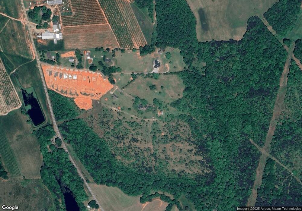
Map
Nearby Homes
- 138 Lowe Rd
- 901 Peachtree Rd
- 248 Long Branch Rd
- 106 S 962
- 372 Long Branch Rd
- 462 Dodger Ave
- 446 Dodger Ave
- 430 Dodger Ave
- 426 Dodger Ave
- 418 Dodger Ave
- 423 Dodger Ave
- 414 Dodger Ave
- 419 Dodger Ave
- 410 Dodger Ave
- 402 Dodger Ave
- 10359 Bullman St
- 553 Burnetts Rd
- 251 Cannon Ford Rd
- 1955 Rainbow Lake Rd
- 193 Dogwood Rd
Your Personal Tour Guide
Ask me questions while you tour the home.