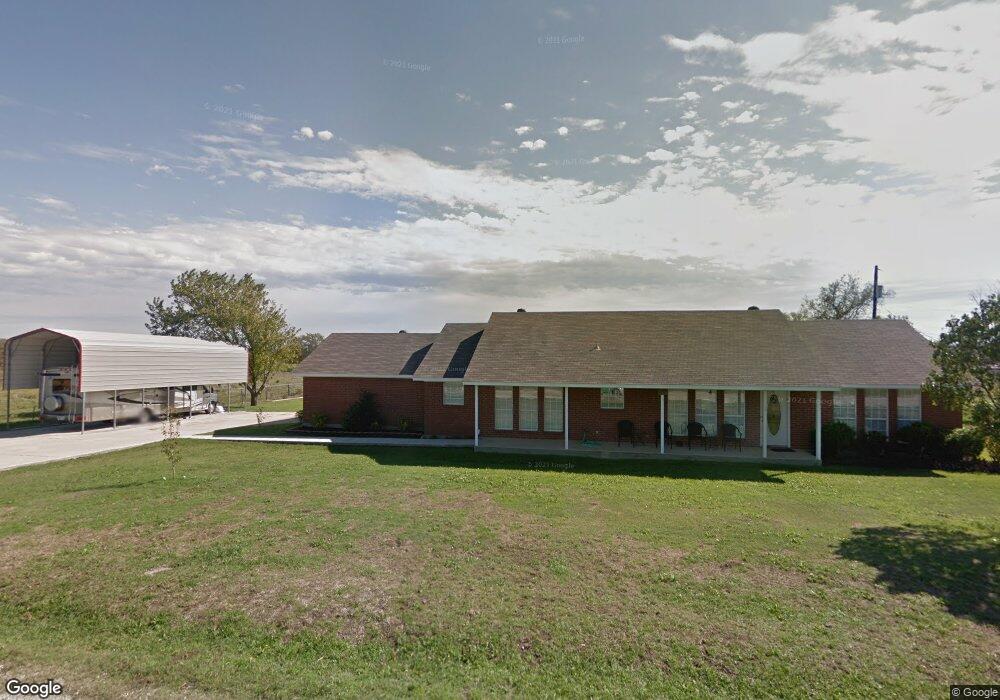
190 Malone Rd Decatur, TX 76234
Estimated Value: $340,725 - $492,000
--
Bed
1
Bath
1,792
Sq Ft
$217/Sq Ft
Est. Value
About This Home
This home is located at 190 Malone Rd, Decatur, TX 76234 and is currently estimated at $389,681, approximately $217 per square foot. 190 Malone Rd is a home with nearby schools including Slidell Schools.
Ownership History
Date
Name
Owned For
Owner Type
Purchase Details
Closed on
Mar 15, 2016
Sold by
Blackford Derek and Blackford Bonnie
Bought by
Collinsworth Deborah
Current Estimated Value
Purchase Details
Closed on
Jul 28, 2010
Sold by
Cope Ronald G and Cope Michelle E
Bought by
Blackford Derek and Blackford Bonnie
Purchase Details
Closed on
Mar 24, 2006
Bought by
Collinsworth Deborah
Home Financials for this Owner
Home Financials are based on the most recent Mortgage that was taken out on this home.
Original Mortgage
$122,084
Interest Rate
6.22%
Create a Home Valuation Report for This Property
The Home Valuation Report is an in-depth analysis detailing your home's value as well as a comparison with similar homes in the area
Home Values in the Area
Average Home Value in this Area
Purchase History
| Date | Buyer | Sale Price | Title Company |
|---|---|---|---|
| Collinsworth Deborah | -- | -- | |
| Blackford Derek | -- | -- | |
| Collinsworth Deborah | -- | -- | |
| Cope Ronald G | -- | Guardian Ttile Co |
Source: Public Records
Mortgage History
| Date | Status | Borrower | Loan Amount |
|---|---|---|---|
| Previous Owner | Cope Ronald G | $122,084 |
Source: Public Records
Tax History Compared to Growth
Tax History
| Year | Tax Paid | Tax Assessment Tax Assessment Total Assessment is a certain percentage of the fair market value that is determined by local assessors to be the total taxable value of land and additions on the property. | Land | Improvement |
|---|---|---|---|---|
| 2025 | $663 | $278,880 | -- | -- |
| 2024 | $663 | $253,527 | $0 | $0 |
| 2023 | $3,060 | $230,479 | $0 | $0 |
| 2022 | $3,009 | $209,526 | $0 | $0 |
| 2021 | $2,788 | $206,570 | $9,050 | $197,520 |
| 2020 | $2,551 | $173,170 | $9,050 | $164,120 |
| 2019 | $2,494 | $171,870 | $9,050 | $162,820 |
| 2018 | $2,317 | $147,120 | $9,050 | $138,070 |
| 2017 | $2,126 | $135,390 | $7,250 | $128,140 |
| 2016 | $2,022 | $130,190 | $6,170 | $124,020 |
| 2015 | -- | $121,010 | $6,170 | $114,840 |
| 2014 | -- | $120,660 | $5,200 | $115,460 |
Source: Public Records
Map
Nearby Homes
- 171 Cr-2825
- 14410 W Fm 455
- 0 Fm 455 Unit 21033431
- n/a Pruett Rd
- 12370 Fortenberry Rd
- TBD 7 County Road 2830
- 9725 Atcheson Rd
- Highway 51
- 12890 Pruett Rd
- 12880 Pruett Rd
- 13257 W Fm 455
- 1430 County Road 2735
- 392 Pr Road 2625
- 7244 N Hickory Rd
- 7225 N Hickory Rd
- TBD N Hickory Rd
- 16384 Farm To Market Road 1173
- 459 Private Road 2625
- 12480 Doyle Rd
- 12530 Doyle Rd
- 190 Cr 2822
- 200 County Road 2822
- 14517 Seventeen Lakes Blvd
- XXXX Cr 2610
- 164 County Road 2822
- 164 County Road 2822
- 200 Cr-2822
- 200 Malone Rd
- 17557 Fm 455
- TBD Cr 2825
- 106 County Road 2820
- 191 Malone Rd
- 0000 Fm 455
- 190 County Road 2822
- 62 AC Fm 51
- TBD Fm 455
- 2820 Cr
- 135 County Road 2820
- 255 County Road 2823
- 17622 Fm-455