190 Mount Hunger Shore Rd Windham, ME 04062
Estimated Value: $407,000 - $564,000
3
Beds
2
Baths
1,484
Sq Ft
$320/Sq Ft
Est. Value
About This Home
This home is located at 190 Mount Hunger Shore Rd, Windham, ME 04062 and is currently estimated at $475,617, approximately $320 per square foot. 190 Mount Hunger Shore Rd is a home located in Cumberland County with nearby schools including Manchester School, Windham Primary School, and Windham Middle School.
Ownership History
Date
Name
Owned For
Owner Type
Purchase Details
Closed on
Oct 20, 2021
Sold by
Morneault John S
Bought by
190 Mhsr Llc
Current Estimated Value
Purchase Details
Closed on
May 20, 2021
Sold by
Morneault Maria A
Bought by
Morneault John S
Home Financials for this Owner
Home Financials are based on the most recent Mortgage that was taken out on this home.
Original Mortgage
$248,500
Interest Rate
3.1%
Mortgage Type
Purchase Money Mortgage
Create a Home Valuation Report for This Property
The Home Valuation Report is an in-depth analysis detailing your home's value as well as a comparison with similar homes in the area
Home Values in the Area
Average Home Value in this Area
Purchase History
| Date | Buyer | Sale Price | Title Company |
|---|---|---|---|
| 190 Mhsr Llc | -- | None Available | |
| Morneault John S | -- | None Available |
Source: Public Records
Mortgage History
| Date | Status | Borrower | Loan Amount |
|---|---|---|---|
| Previous Owner | Morneault John S | $248,500 |
Source: Public Records
Tax History Compared to Growth
Tax History
| Year | Tax Paid | Tax Assessment Tax Assessment Total Assessment is a certain percentage of the fair market value that is determined by local assessors to be the total taxable value of land and additions on the property. | Land | Improvement |
|---|---|---|---|---|
| 2024 | $5,191 | $452,600 | $125,700 | $326,900 |
| 2023 | $4,911 | $438,500 | $124,000 | $314,500 |
| 2022 | $4,491 | $386,800 | $108,100 | $278,700 |
| 2021 | $3,772 | $299,400 | $83,400 | $216,000 |
| 2020 | $6,801 | $291,400 | $84,500 | $206,900 |
| 2019 | $6,544 | $291,400 | $84,500 | $206,900 |
| 2018 | $4,138 | $272,600 | $84,000 | $188,600 |
| 2017 | $4,298 | $261,600 | $72,400 | $189,200 |
| 2016 | $5,920 | $261,600 | $72,400 | $189,200 |
| 2015 | $1,688 | $111,400 | $96,600 | $14,800 |
| 2014 | $1,634 | $111,400 | $96,600 | $14,800 |
| 2013 | -- | $111,400 | $96,600 | $14,800 |
Source: Public Records
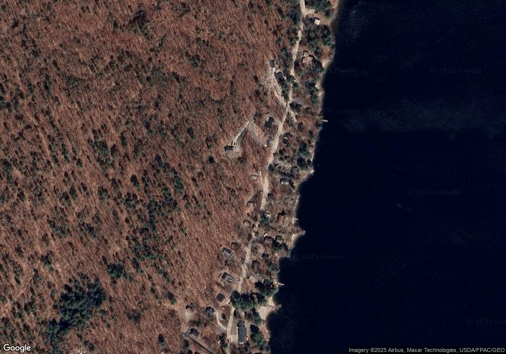
Map
Nearby Homes
- 15 Worcester Dr
- lot #8 Bedrock Terrace
- 99 Enterprise Dr
- 107 Harvest Hill Rd
- 20 Bittersweet Way
- 24 Hillside Dr
- 18 Hillside Dr
- 1083 Roosevelt Trail
- 8 Lily Ln
- 1 Pine Ln
- 3 Pride Ln
- 1042 Roosevelt Trail
- 56 Qualey Rd
- 36 Whites Bridge Rd Unit 8
- 35 Webbs Mills Rd
- 16 Peterson Rd
- 80 Sky Dr
- 34 Trails End Rd
- 1 Matinicus Way Unit 1
- 219 Tandberg Trail
- 182 Mount Hunger Shore Rd
- 191 Mount Hunger Shore Rd
- 185 Mount Hunger Shore Rd
- 193 Mount Hunger Shore Rd
- 180 Mount Hunger Shore Rd
- 197 Mount Hunger Shore Rd
- 183 Mount Hunger Shore Rd
- 315-317 Mount Hunger Shore Rd
- 176 Mount Hunger Shore Rd
- 204 Mount Hunger Shore Rd
- 201 Mount Hunger Shore Rd
- 179 Mount Hunger Shore Rd
- 205 Mount Hunger Shore Rd
- 172 Mount Hunger Shore Rd
- 175 Mount Hunger Shore Rd
- 207 Mount Hunger Shore Rd
- 171 Mount Hunger Shore Rd
- 352 Mt Hunger Shore Rd
- 211 Mount Hunger Shore Rd
- 352 Mount Hunger Shore Rd