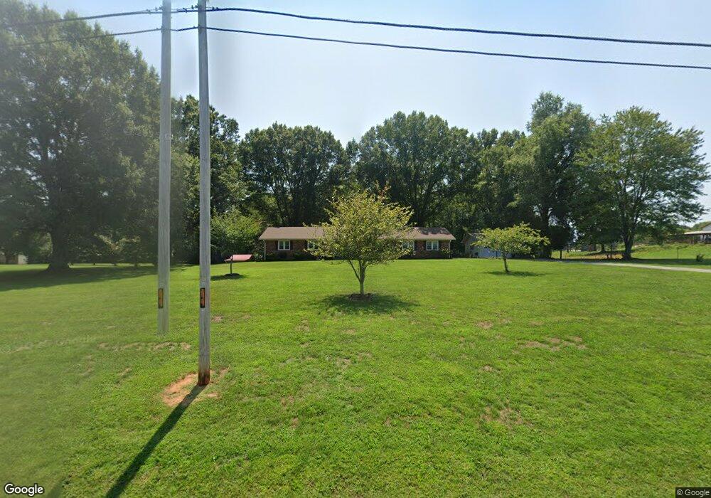
190 Nc Highway 770 Mayodan, NC 27027
Estimated Value: $197,000 - $273,000
--
Bed
1
Bath
1,550
Sq Ft
$154/Sq Ft
Est. Value
About This Home
This home is located at 190 Nc Highway 770, Mayodan, NC 27027 and is currently estimated at $239,438, approximately $154 per square foot. 190 Nc Highway 770 is a home located in Rockingham County with nearby schools including Stoneville Elementary School, Western Rockingham Middle School, and Dalton McMichael High School.
Ownership History
Date
Name
Owned For
Owner Type
Purchase Details
Closed on
Apr 14, 2017
Sold by
Gary Berry Inc
Bought by
Rutledge Stephen E and Rutledge Katrinka
Current Estimated Value
Home Financials for this Owner
Home Financials are based on the most recent Mortgage that was taken out on this home.
Original Mortgage
$73,768
Outstanding Balance
$38,387
Interest Rate
4.4%
Mortgage Type
FHA
Estimated Equity
$201,051
Purchase Details
Closed on
Sep 26, 2016
Sold by
Walker Ronda and Walker Mike
Bought by
Gary Berry Inc
Purchase Details
Closed on
Mar 20, 2013
Sold by
Anderson Mickie W and Anderson Donald N
Bought by
Mabe Delee A and Brim Dian A
Create a Home Valuation Report for This Property
The Home Valuation Report is an in-depth analysis detailing your home's value as well as a comparison with similar homes in the area
Home Values in the Area
Average Home Value in this Area
Purchase History
| Date | Buyer | Sale Price | Title Company |
|---|---|---|---|
| Rutledge Stephen E | $103,000 | None Available | |
| Gary Berry Inc | $60,000 | Attorney | |
| Mabe Delee A | -- | None Available |
Source: Public Records
Mortgage History
| Date | Status | Borrower | Loan Amount |
|---|---|---|---|
| Open | Rutledge Stephen E | $73,768 |
Source: Public Records
Tax History Compared to Growth
Tax History
| Year | Tax Paid | Tax Assessment Tax Assessment Total Assessment is a certain percentage of the fair market value that is determined by local assessors to be the total taxable value of land and additions on the property. | Land | Improvement |
|---|---|---|---|---|
| 2025 | $1,951 | $282,681 | $21,873 | $260,808 |
| 2024 | $1,868 | $282,681 | $21,873 | $260,808 |
| 2023 | $1,868 | $160,572 | $11,386 | $149,186 |
| 2022 | $1,301 | $160,572 | $11,386 | $149,186 |
| 2021 | $1,301 | $160,572 | $11,386 | $149,186 |
| 2020 | $1,301 | $160,572 | $11,386 | $149,186 |
| 2019 | $1,104 | $136,276 | $11,386 | $124,890 |
| 2018 | $1,109 | $136,736 | $20,487 | $116,249 |
| 2017 | $1,087 | $134,025 | $20,487 | $113,538 |
| 2015 | $1,098 | $134,025 | $20,487 | $113,538 |
| 2014 | $1,087 | $134,025 | $20,487 | $113,538 |
Source: Public Records
Map
Nearby Homes
- 0 Local Rd
- 00 Local Rd Unit Local
- 00 Ralph Joyce Rd
- 1662 Ralph Joyce Rd
- 0 Pebble Brook Rd
- 1046 Walsh Way Rd
- 00 Joyce Woodworks Rd
- 000 Lot Joyce Woodworks Rd
- 0 Riveredge Dr
- 0 Hen Rd
- 1047 Hwy 770
- 5283 N Carolina 704
- 8120 Highway 704
- 00 Smith Rd
- 1095 Smith Rd
- 1125 Smith Rd
- 0 Amostown Rd
- 1130 Sandy Ln
- 673 Janet Rd
- 204 Pinecrest Rd
- 228 Nc Highway 770
- 000 Local Rd
- 00 Local Rd
- 250 Nc Highway 770
- 137 Nc Highway 770
- 170 Nc Highway 770
- 117 Brownwood Cir
- 131 Brownwood Cir
- 253 Nc Highway 770
- 253 N Carolina 770
- 255 Nc Highway 770
- 163 Local Rd
- 192 Local Rd
- 3123 Nc 770 Hwy
- 0 Thornton Rd
- 315 Nc Highway 770
- 3109 Nc 770 Hwy
- 340 Nc Highway 770
- 333 Nc Highway 770
- 3098 Nc 770 Hwy