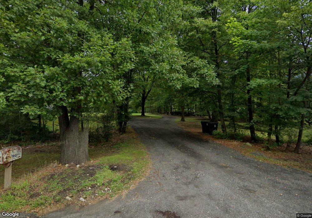
190 Parsippany Rd Whippany, NJ 07981
Estimated Value: $690,000 - $1,215,305
--
Bed
--
Bath
5,162
Sq Ft
$181/Sq Ft
Est. Value
About This Home
This home is located at 190 Parsippany Rd, Whippany, NJ 07981 and is currently estimated at $933,826, approximately $180 per square foot. 190 Parsippany Rd is a home located in Morris County with nearby schools including Whippany Park High School, Arrow Academy, and The Morristown-Beard School.
Ownership History
Date
Name
Owned For
Owner Type
Purchase Details
Closed on
Aug 12, 2016
Sold by
Grasso Elizabeth E
Bought by
Grasso Antony
Current Estimated Value
Purchase Details
Closed on
Jan 21, 2016
Sold by
Grasso Anthony and Grasso Elizabeth E
Bought by
Grasso Anthony
Purchase Details
Closed on
Sep 17, 2014
Sold by
Grasso Anthony
Bought by
Garsso Anthony and Garsso Elizabeth E
Purchase Details
Closed on
Oct 21, 2011
Sold by
Grasso Anthony and Berry Karen Lynn
Bought by
Grasso Anthony
Purchase Details
Closed on
Nov 8, 2010
Sold by
Grasso Anthony and Grasso Jacqueline
Bought by
Grasso Anthony and Berry Karen Lynn
Create a Home Valuation Report for This Property
The Home Valuation Report is an in-depth analysis detailing your home's value as well as a comparison with similar homes in the area
Home Values in the Area
Average Home Value in this Area
Purchase History
| Date | Buyer | Sale Price | Title Company |
|---|---|---|---|
| Grasso Antony | -- | None Available | |
| Grasso Anthony | -- | None Available | |
| Garsso Anthony | -- | None Available | |
| Grasso Anthony | -- | None Available | |
| Grasso Anthony | -- | None Available |
Source: Public Records
Tax History Compared to Growth
Tax History
| Year | Tax Paid | Tax Assessment Tax Assessment Total Assessment is a certain percentage of the fair market value that is determined by local assessors to be the total taxable value of land and additions on the property. | Land | Improvement |
|---|---|---|---|---|
| 2025 | $19,044 | $903,400 | $413,100 | $490,300 |
| 2024 | $18,962 | $903,400 | $413,100 | $490,300 |
| 2023 | $18,962 | $903,400 | $413,100 | $490,300 |
| 2022 | $17,345 | $903,400 | $413,100 | $490,300 |
| 2021 | $17,092 | $903,400 | $413,100 | $490,300 |
| 2020 | $17,038 | $903,400 | $413,100 | $490,300 |
| 2019 | $17,092 | $903,400 | $413,100 | $490,300 |
| 2018 | $16,794 | $903,400 | $413,100 | $490,300 |
| 2017 | $16,297 | $903,400 | $413,100 | $490,300 |
| 2016 | $16,062 | $903,400 | $413,100 | $490,300 |
| 2015 | $15,421 | $903,400 | $413,100 | $490,300 |
| 2014 | $15,087 | $903,400 | $413,100 | $490,300 |
Source: Public Records
Map
Nearby Homes
- 92 Sunrise Dr
- 39 Lefke Ln
- 96 Parsippany Rd
- 709 Brook Hollow Dr Unit 709
- 11 Nemic Ln
- 26 Gladstone Ct
- 42 Gladstone Ct
- 34 Gladstone Ct
- 14 Gladstone Ct
- Monterey Plan at The Grove - The Monterey Collection
- Pershing Plan at The Grove - The Pershing Collection
- 53 Westminster Dr
- 26 David Dr
- 2003 Vermont Terrace Unit 2003
- 72 Schindler Ct
- 3306 Appleton Way
- 91 Rhyan Dr
- 79 Rhyan Dr
- 89 Schindler Ct
- 74 Preston Rd
- 198 Parsippany Rd
- 200 Cambridge St
- 198 Cambridge St
- 201 Dorchester St
- 186 Parsippany Rd
- 200 Parsippany Rd
- 202 Cambridge St
- 203 Cambridge St
- 188 Parsippany Rd
- 203 Dorchester St
- 184 Parsippany Rd
- 202 Parsippany Rd
- 200 Dorchester St
- 206 Cambridge St
- 204 Parsippany Rd
- 205 Cambridge St
- 195 Parsippany Rd
- 205 Dorchester St
- 197 Parsippany Rd
- 202 Dorchester St