190 Patrick St Odenville, AL 35120
Estimated Value: $262,000 - $290,000
--
Bed
--
Bath
2,706
Sq Ft
$103/Sq Ft
Est. Value
About This Home
This home is located at 190 Patrick St, Odenville, AL 35120 and is currently estimated at $279,772, approximately $103 per square foot. 190 Patrick St is a home with nearby schools including Margaret Elementary School, Moody Middle School, and Moody High School.
Ownership History
Date
Name
Owned For
Owner Type
Purchase Details
Closed on
Jul 24, 2017
Sold by
Hopson Patricia Ann and Patterson Patricia Ann
Bought by
Patterson Patricia Ann and Patterson Redginald
Current Estimated Value
Home Financials for this Owner
Home Financials are based on the most recent Mortgage that was taken out on this home.
Original Mortgage
$132,000
Outstanding Balance
$90,252
Interest Rate
3.96%
Mortgage Type
New Conventional
Estimated Equity
$189,520
Create a Home Valuation Report for This Property
The Home Valuation Report is an in-depth analysis detailing your home's value as well as a comparison with similar homes in the area
Home Values in the Area
Average Home Value in this Area
Purchase History
| Date | Buyer | Sale Price | Title Company |
|---|---|---|---|
| Patterson Patricia Ann | $99,000 | Title Clearing & Escrow Llc |
Source: Public Records
Mortgage History
| Date | Status | Borrower | Loan Amount |
|---|---|---|---|
| Open | Patterson Patricia Ann | $132,000 |
Source: Public Records
Tax History Compared to Growth
Tax History
| Year | Tax Paid | Tax Assessment Tax Assessment Total Assessment is a certain percentage of the fair market value that is determined by local assessors to be the total taxable value of land and additions on the property. | Land | Improvement |
|---|---|---|---|---|
| 2024 | $727 | $43,028 | $11,960 | $31,068 |
| 2023 | $727 | $35,412 | $9,136 | $26,276 |
| 2022 | $589 | $17,708 | $4,570 | $13,138 |
| 2021 | $506 | $17,775 | $4,568 | $13,207 |
| 2020 | $506 | $15,126 | $4,546 | $10,580 |
| 2019 | $506 | $15,126 | $4,546 | $10,580 |
| 2018 | $386 | $12,060 | $0 | $0 |
| 2017 | $325 | $10,120 | $0 | $0 |
| 2016 | $316 | $10,120 | $0 | $0 |
| 2015 | $325 | $10,120 | $0 | $0 |
| 2014 | $325 | $10,360 | $0 | $0 |
Source: Public Records
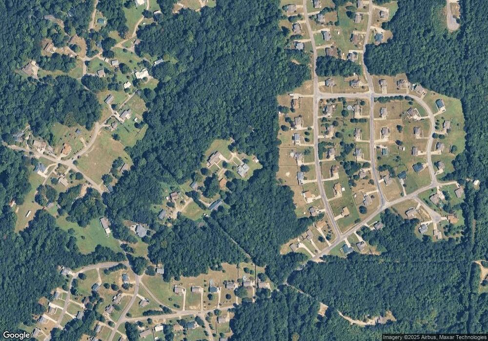
Map
Nearby Homes
- 0 Railroad Dr Unit 22741747
- 890 Moonlite Dr
- 925 Moonlite Dr
- 457 Hidden Ridge Dr
- 55 Rae St
- 560 Ridge Cir
- 195 Sanie Cove Ln
- 190 Sanie Cove Ln
- 200 Sanie Cove Ln
- 210 Sanie Cove Ln
- 220 Sanie Cove Ln
- 230 Sanie Cove Ln
- 205 Sanie Cove Ln
- 204 Morgan Brown Rd
- 10 Field Ln
- The Telfair Plan at The Pines at Ridgefield
- 285 Ridgefield Dr
- The Caldwell Plan at The Pines at Ridgefield
- The Piedmont Plan at The Pines at Ridgefield
- The Langford Plan at The Pines at Ridgefield
- 150 Patrick St
- 625 Starlite Dr
- 635 Starlite Dr
- 110 Patrick St
- 110 Patrick St Unit 25
- 615 Starlite Dr
- 115 Patrick St
- 655 Starlite Dr
- 605 Starlite Dr
- 665 Starlite Dr
- 630 Starlite Dr
- 620 Starlite Dr
- 185 Sunrise Dr
- 650 Starlite Dr
- 610 Starlite Dr
- 650 Starlite Dr
- 205 Sunrise Dr
- 675 Starlite Dr Unit 501
- 660 Starlite Dr
- 147 Sunrise Dr