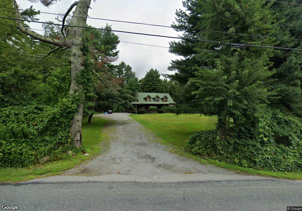
190 Reed Rd Westport, MA 02790
Estimated Value: $626,000 - $876,000
3
Beds
2
Baths
2,716
Sq Ft
$274/Sq Ft
Est. Value
About This Home
This home is located at 190 Reed Rd, Westport, MA 02790 and is currently estimated at $744,346, approximately $274 per square foot. 190 Reed Rd is a home located in Bristol County with nearby schools including Alice A. Macomber Primary School, Westport Elementary School, and Westport Middle-High School.
Ownership History
Date
Name
Owned For
Owner Type
Purchase Details
Closed on
Jul 24, 2003
Sold by
Mccormick Anthony and Tavano Florence T
Bought by
Tavano Paula and Tavano Roland
Current Estimated Value
Create a Home Valuation Report for This Property
The Home Valuation Report is an in-depth analysis detailing your home's value as well as a comparison with similar homes in the area
Home Values in the Area
Average Home Value in this Area
Purchase History
| Date | Buyer | Sale Price | Title Company |
|---|---|---|---|
| Tavano Paula | -- | -- |
Source: Public Records
Mortgage History
| Date | Status | Borrower | Loan Amount |
|---|---|---|---|
| Open | Tavano Paula | $155,455 | |
| Previous Owner | Tavano Paula | $15,000 | |
| Previous Owner | Tavano Paula | $15,000 |
Source: Public Records
Tax History Compared to Growth
Tax History
| Year | Tax Paid | Tax Assessment Tax Assessment Total Assessment is a certain percentage of the fair market value that is determined by local assessors to be the total taxable value of land and additions on the property. | Land | Improvement |
|---|---|---|---|---|
| 2025 | $4,074 | $546,800 | $187,300 | $359,500 |
| 2024 | $4,006 | $518,200 | $166,300 | $351,900 |
| 2023 | $4,078 | $499,700 | $151,500 | $348,200 |
| 2022 | $3,617 | $447,600 | $151,500 | $296,100 |
| 2021 | $3,617 | $419,600 | $125,300 | $294,300 |
| 2020 | $3,495 | $414,600 | $120,300 | $294,300 |
| 2019 | $3,373 | $407,900 | $120,300 | $287,600 |
| 2018 | $2,874 | $351,800 | $125,300 | $226,500 |
| 2017 | $3,020 | $378,900 | $125,300 | $253,600 |
| 2016 | $2,877 | $363,700 | $125,300 | $238,400 |
| 2015 | $2,861 | $360,800 | $125,300 | $235,500 |
Source: Public Records
Map
Nearby Homes
- 3 Roller Coaster Way Unit Lot 1
- 29 Union Ave
- 96 Forge Rd
- 461 Reed Rd
- 27 Dias Ave
- 735 Reed Rd
- 16 S Berryman St
- 56 Lakeside Ave
- 4 Main Rd
- 15 S Breault St
- 47 Fallon Dr
- 55 Lakeside Ave
- 818 Reed Rd
- 9 Kyle Jacob Rd
- Lot 0 Marcotte
- 565 Highland Ave
- 320 Old Westport Rd
- 312 Old Westport Rd
- 310 Old Westport Rd
- 0 Van Buren St