190 Rifle Range Rd Bartow, FL 33830
Estimated Value: $226,000 - $327,166
3
Beds
2
Baths
1,689
Sq Ft
$164/Sq Ft
Est. Value
About This Home
This home is located at 190 Rifle Range Rd, Bartow, FL 33830 and is currently estimated at $276,722, approximately $163 per square foot. 190 Rifle Range Rd is a home located in Polk County with nearby schools including Bartow Elementary Academy, Union Academy, and Bartow Middle School.
Ownership History
Date
Name
Owned For
Owner Type
Purchase Details
Closed on
May 19, 2020
Sold by
Grinstead Kathryn Lynn
Bought by
Grinstead Kathryn L and Wheeler Wyatt D
Current Estimated Value
Purchase Details
Closed on
Sep 15, 2011
Sold by
Grinstead Kathryn L and Grinstead Willie Joe
Bought by
Wheeler Wyatt D and Wheeler Ryan S
Purchase Details
Closed on
Jul 18, 2008
Sold by
Grinstead Willie Joe and Grinstead Kathryn L
Bought by
Grinstead Kathryn L
Create a Home Valuation Report for This Property
The Home Valuation Report is an in-depth analysis detailing your home's value as well as a comparison with similar homes in the area
Home Values in the Area
Average Home Value in this Area
Purchase History
| Date | Buyer | Sale Price | Title Company |
|---|---|---|---|
| Grinstead Kathryn L | $100 | None Listed On Document | |
| Grinstead Kathryn L | $100 | None Listed On Document | |
| Grinstead Kathryn Lynn | -- | None Available | |
| Grinstead Kathryn Lynn | $100 | None Listed On Document | |
| Grinstead Kathryn Lynn | $100 | None Listed On Document | |
| Wheeler Wyatt D | -- | Attorney | |
| Grinstead Kathryn L | -- | Attorney |
Source: Public Records
Tax History
| Year | Tax Paid | Tax Assessment Tax Assessment Total Assessment is a certain percentage of the fair market value that is determined by local assessors to be the total taxable value of land and additions on the property. | Land | Improvement |
|---|---|---|---|---|
| 2025 | $1,643 | $120,422 | -- | -- |
| 2024 | $1,388 | $116,440 | -- | -- |
| 2023 | $1,388 | $112,026 | $0 | $0 |
| 2022 | $1,355 | $108,692 | $0 | $0 |
| 2021 | $1,325 | $103,281 | $15,729 | $87,552 |
| 2020 | $1,264 | $99,820 | $13,040 | $86,780 |
| 2018 | $1,222 | $97,068 | $13,796 | $83,272 |
| 2017 | $1,200 | $95,421 | $0 | $0 |
| 2016 | $1,208 | $95,429 | $0 | $0 |
| 2015 | $858 | $94,803 | $0 | $0 |
| 2014 | $1,117 | $92,573 | $0 | $0 |
Source: Public Records
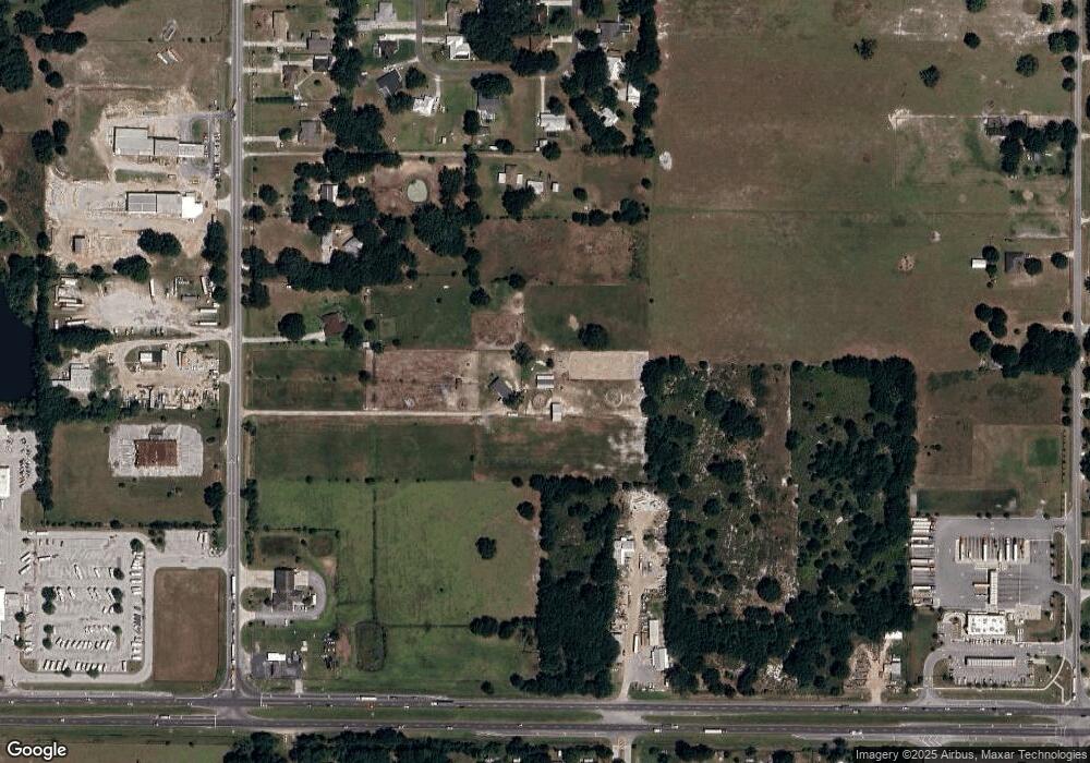
Map
Nearby Homes
- 537 Heather Ct
- 136 Paul Revere Rd
- 8150 Cherokee Rd
- 570 Old Bartow Lake Wales Rd
- 660 Old Bartow Lake Wales Rd
- 205 Tifton St
- 541 Adriel Ave
- 606 Morgan Rd
- 345 Ridgeview E
- 0 Monroe Dr
- 919 Avenue S SE
- 0 Avenue A E Unit F10556451
- 371 Highlands Way
- 137 S Hankin Rd
- 300 S Hankin Rd
- 340 S Hankin Rd
- 0 Patricia Dr Unit MFRL4948414
- 3800 Gerber Dairy Rd
- 128 11th Wahneta St W
- 129 5th St NE
- 0 Thomas Jefferson Cir E
- 270 Rifle Range Rd
- 5161 Rifle Range Rd
- 5093 Rifle Range Rd
- 420 Rifle Range Rd
- 484 Rifle Range Rd
- 5125 Rifle Range Rd
- 445 Heather Ct
- 462 Heather Ct
- 472 Heather Ct
- 0 Rifle Range Rd Unit P4901074
- 0 Rifle Range Rd Unit L4922883
- 0 Rifle Range Rd Unit P4904465
- 7900 State Road 60 E
- 0 State Road 60 Unit L4608493
- 0 State Road 60 Unit L4608491
- 0 State Road 60 Unit L4608877
- 0 State Road 60 Unit K4585784
- 485 Heather Ct
- 482 Heather Ct
Your Personal Tour Guide
Ask me questions while you tour the home.