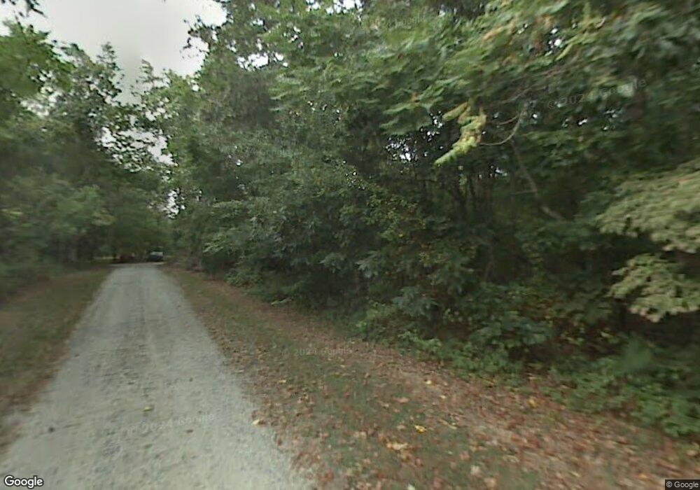
190 Robbins Rd Winston Salem, NC 27107
Estimated Value: $289,000 - $360,000
6
Beds
4
Baths
3,264
Sq Ft
$101/Sq Ft
Est. Value
About This Home
This home is located at 190 Robbins Rd, Winston Salem, NC 27107 and is currently estimated at $329,217, approximately $100 per square foot. 190 Robbins Rd is a home located in Forsyth County with nearby schools including Sedge Garden Elementary School, Southeast Middle School, and R.B. Glenn High School.
Ownership History
Date
Name
Owned For
Owner Type
Purchase Details
Closed on
Sep 4, 2015
Sold by
Moore David A
Bought by
Moore David A
Current Estimated Value
Purchase Details
Closed on
Jan 22, 2002
Sold by
Moore Kim R
Bought by
Moore David A
Home Financials for this Owner
Home Financials are based on the most recent Mortgage that was taken out on this home.
Original Mortgage
$140,000
Interest Rate
7.08%
Create a Home Valuation Report for This Property
The Home Valuation Report is an in-depth analysis detailing your home's value as well as a comparison with similar homes in the area
Home Values in the Area
Average Home Value in this Area
Purchase History
| Date | Buyer | Sale Price | Title Company |
|---|---|---|---|
| Moore David A | -- | Stewart Title Guaranty | |
| Moore David A | -- | -- |
Source: Public Records
Mortgage History
| Date | Status | Borrower | Loan Amount |
|---|---|---|---|
| Closed | Moore David A | $140,000 |
Source: Public Records
Tax History Compared to Growth
Tax History
| Year | Tax Paid | Tax Assessment Tax Assessment Total Assessment is a certain percentage of the fair market value that is determined by local assessors to be the total taxable value of land and additions on the property. | Land | Improvement |
|---|---|---|---|---|
| 2025 | $3,007 | $335,000 | $55,200 | $279,800 |
| 2024 | $3,007 | $224,600 | $52,100 | $172,500 |
| 2023 | $3,007 | $224,600 | $52,100 | $172,500 |
| 2022 | $2,951 | $224,600 | $52,100 | $172,500 |
| 2021 | $2,898 | $224,600 | $52,100 | $172,500 |
| 2020 | $2,795 | $202,400 | $44,000 | $158,400 |
| 2019 | $2,815 | $202,400 | $44,000 | $158,400 |
| 2018 | $2,674 | $202,400 | $44,000 | $158,400 |
| 2016 | $2,490 | $189,238 | $37,245 | $151,993 |
| 2015 | $2,452 | $189,238 | $37,245 | $151,993 |
| 2014 | $2,378 | $189,238 | $37,245 | $151,993 |
Source: Public Records
Map
Nearby Homes
- 411 Motif Ln
- 140 Meadowsweet Ct
- 3453 Robindale Dr
- 3471 Robindale Dr
- 3447 Robindale Dr
- 3441 Robindale Dr
- 3422 Robindale Dr
- Ashe Plan at Robindale
- Camden Plan at Robindale
- Cary Plan at Robindale
- Durham Plan at Robindale
- Avery Plan at Robindale
- Erie Plan at Robindale
- Carolina Plan at Robindale
- 301 Bedford Park Dr
- 307 Wayside Dr
- 3544 Landis St SE
- 3538 Landis St SE
- 3532 Landis St SE
- 3520 Landis St SE
- 3955 Humming Bird Dr
- 3965 Humming Bird Dr
- 327 Robbins Rd
- 3975 Humming Bird Dr
- 360 Canary Trail
- 355 Robbins Rd
- 359 Robbins Rd
- 369 Robbins Rd
- 3930 Humming Bird Dr
- 361 Robbins Rd
- 365 Robbins Rd
- 367 Robbins Rd
- 350 Canary Trail
- 373 Robbins Rd
- 3940 Humming Bird Dr
- 363 Robbins Rd
- 3985 Humming Bird Dr
- 3950 Humming Bird Dr
- 313 Robbins Rd
- 3960 Humming Bird Dr
