Estimated Value: $98,953 - $132,000
--
Bed
1
Bath
864
Sq Ft
$135/Sq Ft
Est. Value
About This Home
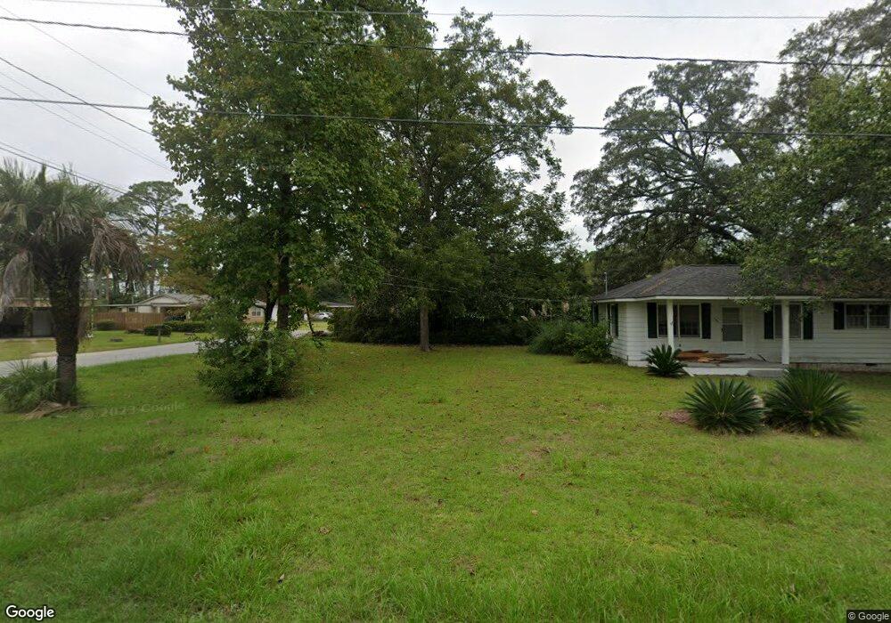
This home is located at 190 S 11th St, Jesup, GA 31545 and is currently estimated at $116,988, approximately $135 per square foot. 190 S 11th St is a home located in Wayne County with nearby schools including Bacon Elementary School, Martha Puckett Middle School, and Wayne County High School.
Ownership History
Date
Name
Owned For
Owner Type
Purchase Details
Closed on
Jun 6, 2009
Sold by
Courson Glynn
Bought by
Spinner Betty Sue
Current Estimated Value
Home Financials for this Owner
Home Financials are based on the most recent Mortgage that was taken out on this home.
Original Mortgage
$44,770
Outstanding Balance
$28,317
Interest Rate
4.79%
Mortgage Type
FHA
Estimated Equity
$88,671
Purchase Details
Closed on
Dec 1, 2001
Sold by
Suntrust Bank Southeast Ga Na
Bought by
Courson Glynn
Purchase Details
Closed on
Jun 1, 2001
Bought by
Suntrust Bank Southeast Ga Na
Purchase Details
Closed on
Oct 1, 1997
Purchase Details
Closed on
Mar 1, 1982
Purchase Details
Closed on
Dec 1, 1959
Create a Home Valuation Report for This Property
The Home Valuation Report is an in-depth analysis detailing your home's value as well as a comparison with similar homes in the area
Home Values in the Area
Average Home Value in this Area
Purchase History
| Date | Buyer | Sale Price | Title Company |
|---|---|---|---|
| Spinner Betty Sue | $59,000 | -- | |
| Courson Glynn | $18,000 | -- | |
| Suntrust Bank Southeast Ga Na | -- | -- | |
| -- | $35,000 | -- | |
| -- | -- | -- | |
| -- | -- | -- |
Source: Public Records
Mortgage History
| Date | Status | Borrower | Loan Amount |
|---|---|---|---|
| Open | Spinner Betty Sue | $44,770 |
Source: Public Records
Tax History Compared to Growth
Tax History
| Year | Tax Paid | Tax Assessment Tax Assessment Total Assessment is a certain percentage of the fair market value that is determined by local assessors to be the total taxable value of land and additions on the property. | Land | Improvement |
|---|---|---|---|---|
| 2024 | $788 | $25,757 | $2,815 | $22,942 |
| 2023 | $809 | $22,856 | $2,754 | $20,102 |
| 2022 | $143 | $14,556 | $2,754 | $11,802 |
| 2021 | $155 | $14,556 | $2,754 | $11,802 |
| 2020 | $162 | $14,556 | $2,754 | $11,802 |
| 2019 | $171 | $14,556 | $2,754 | $11,802 |
| 2018 | $171 | $14,556 | $2,754 | $11,802 |
| 2017 | $123 | $14,556 | $2,754 | $11,802 |
| 2016 | $114 | $14,556 | $2,754 | $11,802 |
| 2014 | $114 | $14,556 | $2,754 | $11,802 |
| 2013 | -- | $14,556 | $2,754 | $11,802 |
Source: Public Records
Map
Nearby Homes
- 000 Hamburg St
- 155 Persimmon St
- 705 S 11th St
- 10235 Lanes Bridge Rd
- 100 Morgan Dr
- 143 Groveland St
- 136 Groveland St
- 153 Drennon Dr
- 695 Lanes Bridge Rd
- 0 Bay Acres Rd Unit 159302
- 0 Bay Acres Rd Unit 10457722
- 0 Bay Acres Rd Unit 1651861
- 686 S 4th St
- 641 S 4th St
- 344 N Fourth St
- 757 Old Screven Rd
- 124 Drennon Dr
- 308 Dreamland St Unit 9
- 144 S 11th St
- 180 S 11th St
- 0 Dreamland St Unit 28023
- 0 Dreamland St Unit 24378
- 0 Dreamland St Unit 8350808
- 191 S 11th St
- 305 Dreamland St
- 179 S 11th St Unit 18
- 148 S 11th St
- 312 Dreamland St
- 266 Dreamland St
- 317 Dreamland St
- 147 S 11th St Unit 17
- 267 Dreamland St
- 248 S 11th St
- 247 S 11th St
- 262 Dreamland St
- 324 Dreamland St Unit 6
- 321 Dreamland St Unit 5