190 S 700 E Franklin, IN 46131
Estimated Value: $554,000 - $1,022,143
About This Home
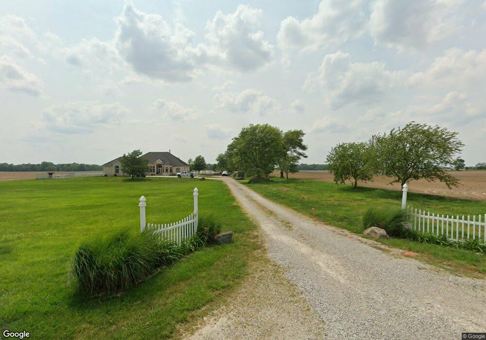
This home is located at 190 S 700 E, Franklin, IN 46131 and is currently estimated at $788,072, approximately $223 per square foot. 190 S 700 E is a home located in Johnson County with nearby schools including Needham Elementary School, Franklin Community Middle School, and Custer Baker Intermediate School.
Ownership History
We collect this data history from publicly available records. To have your information removed, we recommend requesting removal directly through your county’s website.
Purchase Details
Home Financials for this Owner
Home Financials are based on the most recent Mortgage that was taken out on this home.Purchase Details
Home Values in the Area
Average Home Value in this Area
Purchase History
We collect this data history from publicly available records. To have your information removed, we recommend requesting removal directly through your county’s website.
| Date | Buyer | Sale Price | Title Company |
|---|---|---|---|
| -- | None Available | ||
| -- | None Available |
Mortgage History
We collect this data history from publicly available records. To have your information removed, we recommend requesting removal directly through your county’s website.
| Date | Status | Borrower | Loan Amount |
|---|---|---|---|
| Open | $512,000 |
Tax History
We collect this data history from publicly available records. To have your information removed, we recommend requesting removal directly through your county’s website.
| Year | Tax Paid | Tax Assessment Tax Assessment Total Assessment is a certain percentage of the fair market value that is determined by local assessors to be the total taxable value of land and additions on the property. | Land | Improvement |
|---|---|---|---|---|
| 2025 | $9,041 | $929,000 | $50,900 | $878,100 |
| 2024 | $8,253 | $722,900 | $51,900 | $671,000 |
| 2023 | $8,258 | $725,700 | $46,800 | $678,900 |
| 2022 | $8,457 | $733,800 | $46,800 | $687,000 |
| 2021 | $7,396 | $644,100 | $40,500 | $603,600 |
| 2020 | $6,899 | $595,100 | $36,400 | $558,700 |
| 2019 | $6,786 | $587,300 | $38,200 | $549,100 |
| 2018 | $5,679 | $556,200 | $38,600 | $517,600 |
| 2017 | $5,680 | $554,900 | $40,100 | $514,800 |
| 2016 | $5,473 | $519,100 | $40,900 | $478,200 |
| 2014 | $5,373 | $522,600 | $41,400 | $481,200 |
| 2013 | $5,373 | $525,800 | $39,500 | $486,300 |
Map
- 6227 E State Road 44
- 808 N 700 E
- 5495 E Greensburg Rd
- 7735 W Shelby 350 S
- 2035 S 550 E
- 2144 Connie Ct
- 535 S 450 E
- 1159 Paris Dr
- 361 Reagan Cir
- 1895 Longest Dr
- 100 Decourcy Ln
- 1440 Paris Dr
- 1694 Williamsburg Ln
- 1562 Williamsburg Ct
- 1682 Millpond Ln
- 1636 Millpond Ln
- 1679 Millpond Ln
- 1663 Millpond Ln
- 1640 Millpond Ln
- 1650 Millpond Ln
- 151 S 700 E
- 98 S 700 E
- 334 S 700 E
- 285 S 700 E
- 00 S 700 E
- 0 S 700east Rd
- 0 S 700 E
- 0 S 700east Rd Unit 21431323
- 0 E 700 N Unit 2900400
- 0 E 700 N Unit 21110584
- 0 E 700 N Unit MBR2673444
- 0 E 700 N Unit MBR2613259
- 0 E 700 N Unit MBR2610401
- 0 E 700 N Unit MBR2610416
- 6950 E 50 S
- 6844 E 50 S
- 7294 E Division Rd
- 6546 E 50 S
- 7430 E Division Rd
- 6632 E 50 S
Ask me questions while you tour the home.