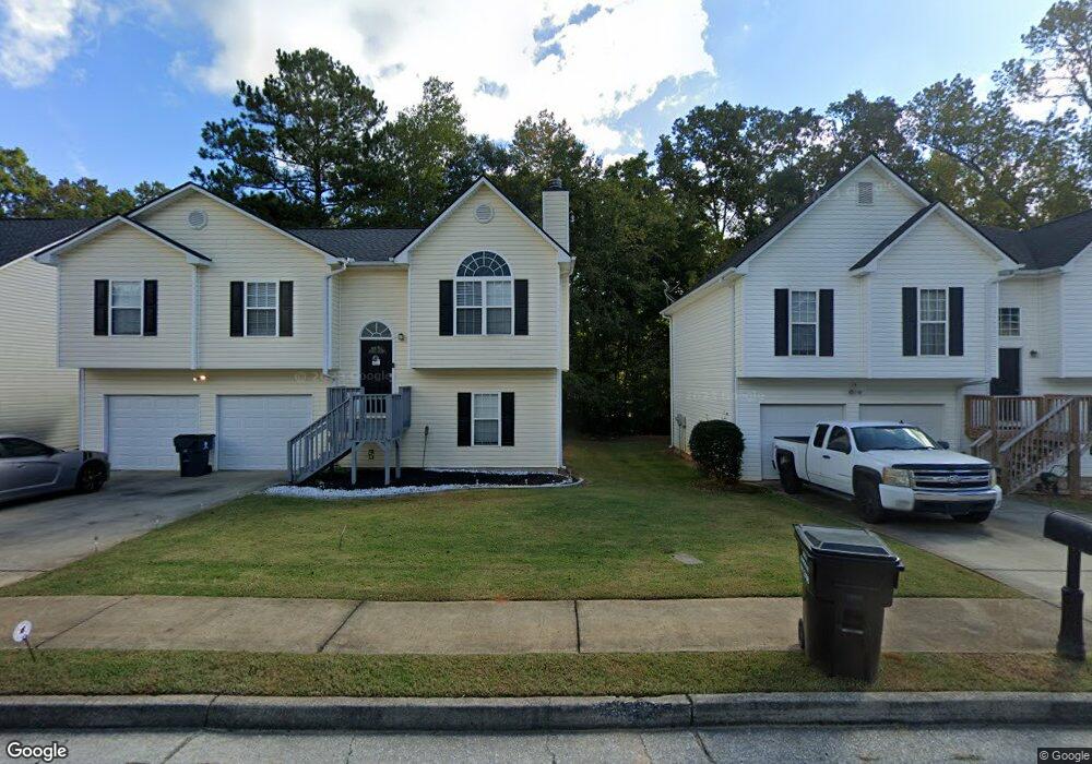
190 S Barbara Ln Austell, GA 30168
Lithia Springs NeighborhoodEstimated Value: $240,012 - $303,000
4
Beds
3
Baths
1,191
Sq Ft
$227/Sq Ft
Est. Value
About This Home
This home is located at 190 S Barbara Ln, Austell, GA 30168 and is currently estimated at $270,753, approximately $227 per square foot. 190 S Barbara Ln is a home located in Douglas County with nearby schools including Annette Winn Elementary School, Turner Middle School, and Lithia Springs Comprehensive High School.
Ownership History
Date
Name
Owned For
Owner Type
Purchase Details
Closed on
Jun 30, 2004
Sold by
Sweetwater Homes Inc
Bought by
Burts Angela D
Current Estimated Value
Home Financials for this Owner
Home Financials are based on the most recent Mortgage that was taken out on this home.
Original Mortgage
$144,637
Outstanding Balance
$72,353
Interest Rate
6.24%
Mortgage Type
VA
Estimated Equity
$198,400
Create a Home Valuation Report for This Property
The Home Valuation Report is an in-depth analysis detailing your home's value as well as a comparison with similar homes in the area
Home Values in the Area
Average Home Value in this Area
Purchase History
| Date | Buyer | Sale Price | Title Company |
|---|---|---|---|
| Burts Angela D | $147,000 | -- |
Source: Public Records
Mortgage History
| Date | Status | Borrower | Loan Amount |
|---|---|---|---|
| Open | Burts Angela D | $144,637 |
Source: Public Records
Tax History Compared to Growth
Tax History
| Year | Tax Paid | Tax Assessment Tax Assessment Total Assessment is a certain percentage of the fair market value that is determined by local assessors to be the total taxable value of land and additions on the property. | Land | Improvement |
|---|---|---|---|---|
| 2024 | $2,241 | $69,160 | $13,200 | $55,960 |
| 2023 | $2,241 | $69,160 | $13,200 | $55,960 |
| 2022 | $2,317 | $69,160 | $13,200 | $55,960 |
| 2021 | $1,719 | $50,720 | $11,600 | $39,120 |
| 2020 | $1,738 | $50,720 | $11,600 | $39,120 |
| 2019 | $1,579 | $49,200 | $11,600 | $37,600 |
| 2018 | $1,554 | $48,160 | $11,600 | $36,560 |
| 2017 | $1,528 | $46,400 | $11,600 | $34,800 |
| 2016 | $1,509 | $45,040 | $11,600 | $33,440 |
| 2015 | $1,608 | $49,520 | $13,200 | $36,320 |
| 2014 | $1,608 | $46,200 | $13,200 | $33,000 |
| 2013 | -- | $46,280 | $13,200 | $33,080 |
Source: Public Records
Map
Nearby Homes
- 2414 Old Alabama Rd
- 110 Creekway Dr
- 0 Maxham Rd Unit 10652291
- 13 Robin Rd
- 1138 Pontiac Cir
- 1138 Pontiac Cir Unit 23
- 2072 Woodbine Cir
- 6581 Coventry Point Unit 1
- 1972 Cox Dr Unit 5
- 6718 Roscommon Dr
- 6083 Oak Hill Dr
- 6627 Coventry Point
- 2023 Lee Dr
- 5995 Spring St
- 5934 Mulberry St
- 6085 Hotel St
- 1151 S Gordon Rd
- 19 Benscot Dr
- 27 Benscot Dr
- 29 Benscot Dr
- 200 S Barbara Ln
- 180 S Barbara Ln
- 170 S Barbara Ln
- 210 S Barbara Ln
- 160 S Barbara Ln
- 220 S Barbara Ln
- 195 S Barbara Ln
- 205 S Barbara Ln
- 175 S Barbara Ln
- 215 S Barbara Ln
- 165 S Barbara Ln
- 230 S Barbara Ln
- 150 S Barbara Ln
- 155 S Barbara Ln
- 225 S Barbara Ln
- 145 S Barbara Ln
- 235 S Barbara Ln
- 140 S Barbara Ln
- S S Barbara Ln
- 2428 Old Alabama Rd