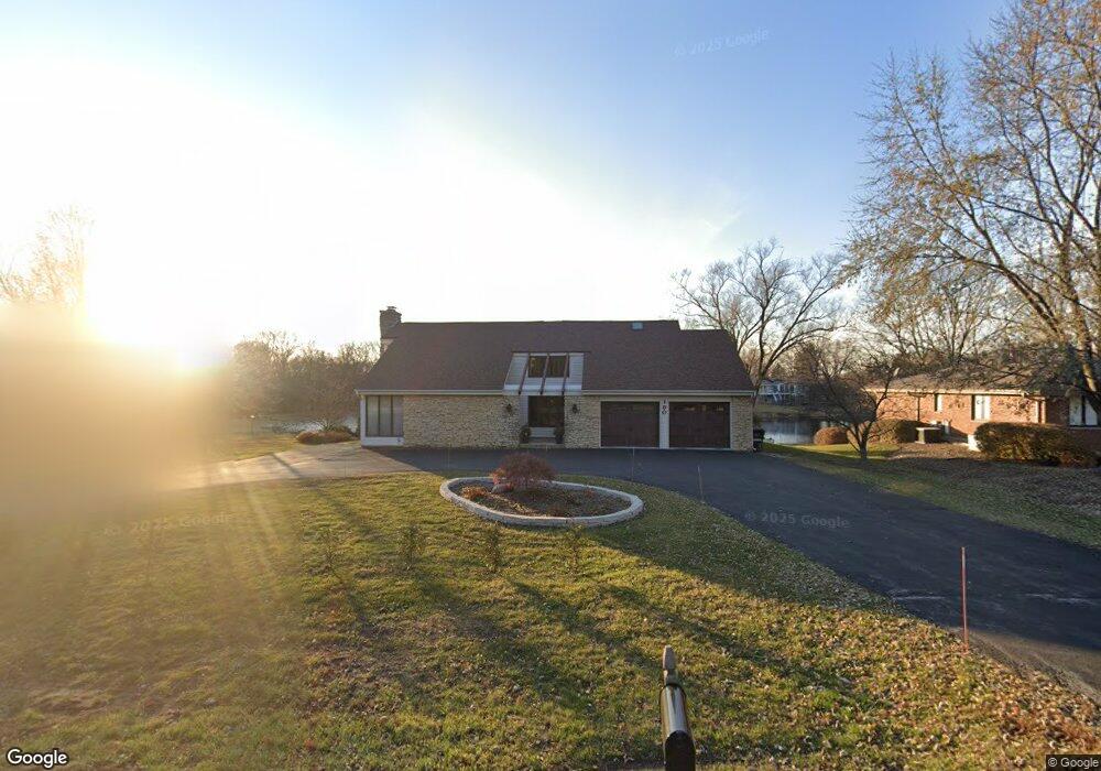
190 S Ela Rd Barrington, IL 60010
South Barrington NeighborhoodEstimated Value: $693,000 - $843,000
5
Beds
4
Baths
2,388
Sq Ft
$328/Sq Ft
Est. Value
About This Home
This home is located at 190 S Ela Rd, Barrington, IL 60010 and is currently estimated at $783,375, approximately $328 per square foot. 190 S Ela Rd is a home located in Cook County with nearby schools including Arnett C. Lines Elementary School, Barrington Middle School Station Campus, and Barrington High School.
Ownership History
Date
Name
Owned For
Owner Type
Purchase Details
Closed on
Aug 25, 2017
Sold by
Selina Olga
Bought by
Couris George and Couris Kelly
Current Estimated Value
Purchase Details
Closed on
Feb 15, 2017
Sold by
Dement Michelle K
Bought by
Selina Olga
Purchase Details
Closed on
Feb 24, 1995
Sold by
Dement William D and Dement Kathryn A
Bought by
Dement Kathryn A and Kathryn A Dement Revocable Trust
Create a Home Valuation Report for This Property
The Home Valuation Report is an in-depth analysis detailing your home's value as well as a comparison with similar homes in the area
Home Values in the Area
Average Home Value in this Area
Purchase History
| Date | Buyer | Sale Price | Title Company |
|---|---|---|---|
| Couris George | $542,500 | Attorneys Title Guaranty Fun | |
| Couris George | $542,500 | Attorneys Title Guaranty Fun | |
| Selina Olga | $320,000 | Chicago Title | |
| Dement Kathryn A | -- | -- |
Source: Public Records
Tax History Compared to Growth
Tax History
| Year | Tax Paid | Tax Assessment Tax Assessment Total Assessment is a certain percentage of the fair market value that is determined by local assessors to be the total taxable value of land and additions on the property. | Land | Improvement |
|---|---|---|---|---|
| 2024 | $11,279 | $50,000 | $15,120 | $34,880 |
| 2023 | $11,031 | $50,000 | $15,120 | $34,880 |
| 2022 | $11,031 | $50,000 | $15,120 | $34,880 |
| 2021 | $10,173 | $40,719 | $9,240 | $31,479 |
| 2020 | $9,818 | $40,719 | $9,240 | $31,479 |
| 2019 | $9,621 | $45,093 | $9,240 | $35,853 |
| 2018 | $10,088 | $45,390 | $8,400 | $36,990 |
| 2017 | $12,136 | $55,723 | $8,400 | $47,323 |
| 2016 | $11,554 | $55,723 | $8,400 | $47,323 |
| 2015 | $10,292 | $45,816 | $7,560 | $38,256 |
| 2014 | $10,176 | $45,816 | $7,560 | $38,256 |
| 2013 | $9,748 | $45,816 | $7,560 | $38,256 |
Source: Public Records
Map
Nearby Homes
- 110 Tudor Dr
- 101 Tudor Dr
- 129 Roth Ave
- 104 Howe Terrace
- 185 Cold Spring Rd
- 290 Cold Spring Rd
- 169 Crestview Ct
- 104 Lois Ln
- 523 N Ela Rd
- 101 Surrey Ln
- 44 Oak Ridge Ln
- 158 S Ela Rd
- 1312 Lake Shore Dr N Unit 7
- 1288 The Point St
- 175 Hilltop Ave
- 23455 W Long Grove Rd
- 117 Beverly Rd
- 36 Ferndale Rd
- 21 Ferndale Rd
- 239 Beverly Rd
- 180 S Ela Rd
- 200 S Ela Rd
- 161 Kings Row
- 170 S Ela Rd Unit 3
- 161 S Kings Row
- 115 S Ela Rd
- 151 S Kings Row
- 170 Weatherstone Rd
- 151 Kings Row
- 180 Weatherstone Rd
- 260 Wyngate Dr
- 290 Balmoral Dr Unit 3
- 290 Balmoral Ln
- 141 Kings Row
- 280 Balmoral Dr
- 160 Weatherstone Rd
- 270 Balmoral Dr
- 250 Wyngate Dr
- 150 Weatherstone Rd
- 117 S Ela Rd