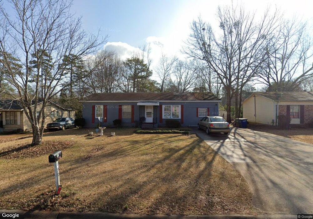
190 Spring Cir Athens, GA 30601
Estimated Value: $114,000 - $228,000
3
Beds
2
Baths
1,025
Sq Ft
$170/Sq Ft
Est. Value
About This Home
This home is located at 190 Spring Cir, Athens, GA 30601 and is currently estimated at $174,464, approximately $170 per square foot. 190 Spring Cir is a home located in Clarke County with nearby schools including Gaines Elementary School, Hilsman Middle School, and Cedar Shoals High School.
Ownership History
Date
Name
Owned For
Owner Type
Purchase Details
Closed on
Sep 1, 2010
Sold by
J & V Properties Inc Tony & Ta
Bought by
J & V Properties Inc Jeffery & Judy
Current Estimated Value
Purchase Details
Closed on
Nov 1, 2006
Sold by
J & V Properties Inc
Bought by
J & V Properties Inc Tony & Tamika Scott
Purchase Details
Closed on
Jun 10, 2003
Sold by
Athens First Bank & Trust Comp
Bought by
J & V Properties Inc
Purchase Details
Closed on
Apr 1, 2003
Sold by
Johnson Robert C
Bought by
Athens First Bank & Trust Company
Purchase Details
Closed on
Nov 3, 1995
Sold by
Johnson Queland
Bought by
Johnson Robert C
Create a Home Valuation Report for This Property
The Home Valuation Report is an in-depth analysis detailing your home's value as well as a comparison with similar homes in the area
Purchase History
| Date | Buyer | Sale Price | Title Company |
|---|---|---|---|
| J & V Properties Inc Jeffery & Judy | $65,000 | -- | |
| J & V Properties Inc Tony & Tamika Scott | $70,000 | -- | |
| J & V Properties Inc | -- | -- | |
| Athens First Bank & Trust Company | $38,300 | -- | |
| Johnson Robert C | -- | -- |
Source: Public Records
Tax History
| Year | Tax Paid | Tax Assessment Tax Assessment Total Assessment is a certain percentage of the fair market value that is determined by local assessors to be the total taxable value of land and additions on the property. | Land | Improvement |
|---|---|---|---|---|
| 2025 | $768 | $41,534 | $12,000 | $29,534 |
| 2024 | $768 | $40,644 | $12,000 | $28,644 |
| 2023 | $54 | $36,725 | $10,400 | $26,325 |
| 2022 | $639 | $30,046 | $10,400 | $19,646 |
| 2021 | $426 | $22,635 | $7,200 | $15,435 |
| 2020 | $402 | $21,933 | $6,000 | $15,933 |
| 2019 | $262 | $17,706 | $6,000 | $11,706 |
| 2018 | $183 | $15,376 | $6,000 | $9,376 |
| 2017 | $184 | $15,431 | $6,000 | $9,431 |
| 2016 | $158 | $14,664 | $6,000 | $8,664 |
| 2015 | $0 | $14,908 | $6,000 | $8,908 |
| 2014 | $193 | $15,633 | $6,000 | $9,633 |
Source: Public Records
Map
Nearby Homes
- 180 Spring Cir
- 200 Spring Cir
- 210 Spring Cir
- 155 Wright Cir
- 145 Wright Cir
- 195 Spring Cir
- 205 Spring Cir
- 185 Spring Cir
- 160 Spring Cir
- 220 Spring Cir
- 135 Wright Cir
- 165 Wright Cir
- 215 Spring Cir
- 175 Spring Cir
- 125 Wright Cir
- 230 Spring Cir
- 150 Spring Cir
- 225 Spring Cir
- 165 Spring Cir
- 395 Washington Dr
Your Personal Tour Guide
Ask me questions while you tour the home.