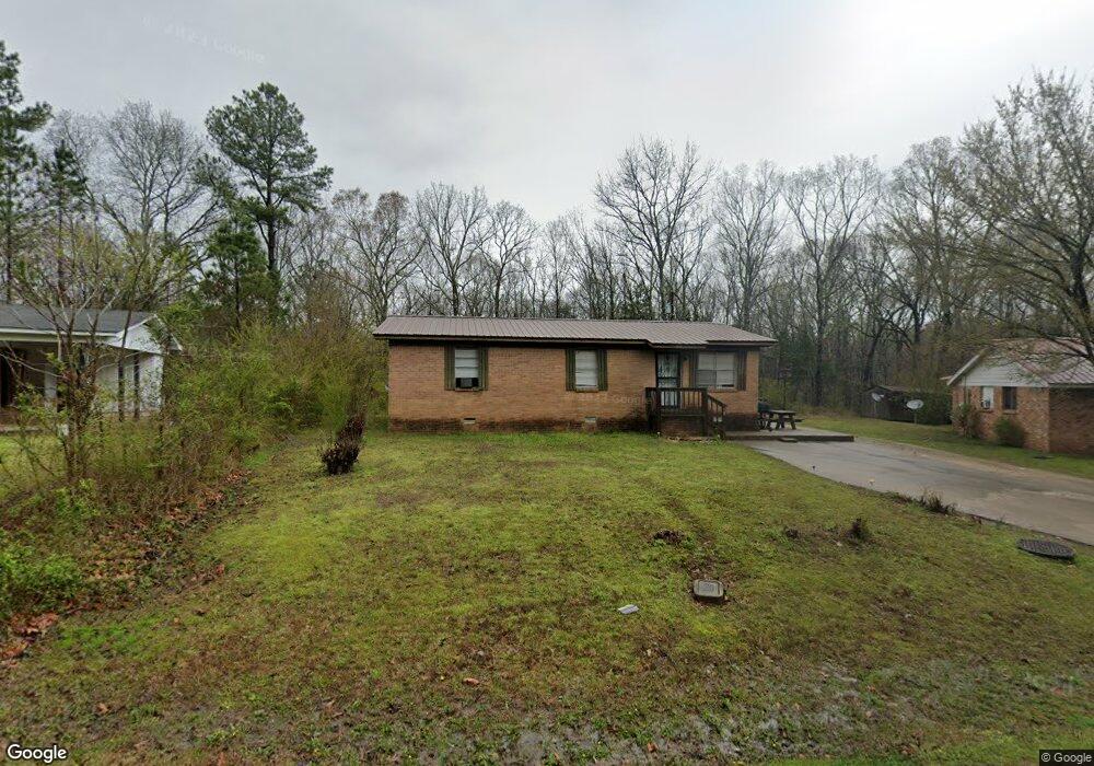
190 Stuart Loop Somerville, TN 38068
Estimated Value: $96,992 - $112,000
Studio
1
Bath
1,075
Sq Ft
$94/Sq Ft
Est. Value
About This Home
This home is located at 190 Stuart Loop, Somerville, TN 38068 and is currently estimated at $101,248, approximately $94 per square foot. 190 Stuart Loop is a home located in Fayette County with nearby schools including Buckley-Carpenter Elementary School, East Junior High School, and Fayette Ware Comprehensive High School.
Ownership History
Date
Name
Owned For
Owner Type
Purchase Details
Closed on
Apr 29, 2022
Sold by
Givhan Charlie G and Givhan Abigail D
Bought by
Givhan Charlie G and Givhan Abigail D
Current Estimated Value
Purchase Details
Closed on
Sep 20, 2007
Sold by
Perry Rodney
Bought by
Givhan Charlie G
Home Financials for this Owner
Home Financials are based on the most recent Mortgage that was taken out on this home.
Original Mortgage
$43,200
Interest Rate
6.57%
Mortgage Type
New Conventional
Purchase Details
Closed on
Feb 4, 1975
Bought by
Perry Roberta
Create a Home Valuation Report for This Property
The Home Valuation Report is an in-depth analysis detailing your home's value as well as a comparison with similar homes in the area
Home Values in the Area
Average Home Value in this Area
Purchase History
| Date | Buyer | Sale Price | Title Company |
|---|---|---|---|
| Givhan Charlie G | -- | None Listed On Document | |
| Givhan Charlie G | $48,000 | -- | |
| Givhan Charlie G | $48,000 | -- | |
| Perry Roberta | -- | -- |
Source: Public Records
Mortgage History
| Date | Status | Borrower | Loan Amount |
|---|---|---|---|
| Previous Owner | Givhan Charlie G | $43,200 |
Source: Public Records
Tax History
| Year | Tax Paid | Tax Assessment Tax Assessment Total Assessment is a certain percentage of the fair market value that is determined by local assessors to be the total taxable value of land and additions on the property. | Land | Improvement |
|---|---|---|---|---|
| 2025 | $174 | $19,750 | $4,875 | $14,875 |
| 2024 | $174 | $13,450 | $2,800 | $10,650 |
| 2023 | $174 | $13,450 | $0 | $0 |
| 2022 | $174 | $13,450 | $2,800 | $10,650 |
| 2021 | $174 | $13,450 | $2,800 | $10,650 |
| 2020 | $179 | $13,450 | $2,800 | $10,650 |
| 2019 | $179 | $11,875 | $2,800 | $9,075 |
| 2018 | $179 | $11,875 | $2,800 | $9,075 |
| 2017 | $179 | $11,875 | $2,800 | $9,075 |
| 2016 | $184 | $11,450 | $2,800 | $8,650 |
| 2015 | $184 | $11,450 | $2,800 | $8,650 |
| 2014 | $184 | $11,450 | $2,800 | $8,650 |
Source: Public Records
Map
Nearby Homes
- 0 Clark Rd
- 11560 S Main St
- 0 Kay Ln
- 150 Kay Ln
- 315 Deerfield Cove
- 110 Rolling Oaks Dr
- 126 Rolling Oaks Dr
- 804 Lynn St
- 12370 S Main St
- 706 Charleston St
- 460 Woodbridge Rd
- 307 Church St
- 85 Cedar Hill Cove
- 115 Cedar Hill Cove
- 15680 U S 64
- 306 Old Jernigan Rd
- 116 W Marginal St
- 0 W Marginal St
- 00000 Hwy 64 Hwy
- 0000 U S Highway 64
Your Personal Tour Guide
Ask me questions while you tour the home.