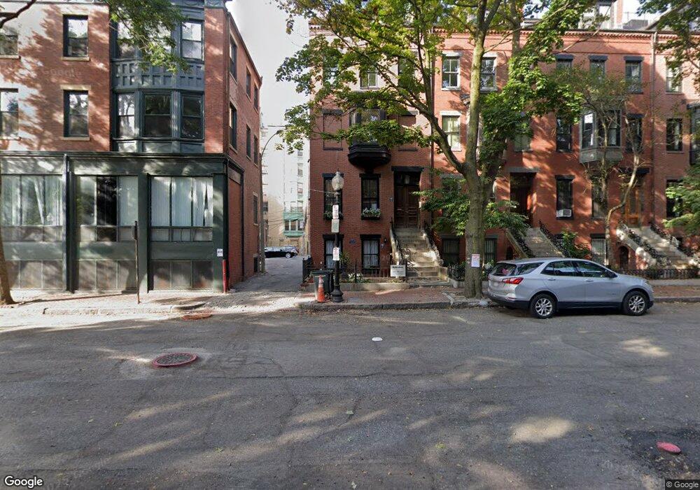
190 W Springfield St Unit 2 Boston, MA 02118
South End NeighborhoodEstimated Value: $2,453,000 - $3,066,000
2
Beds
2
Baths
2,482
Sq Ft
$1,141/Sq Ft
Est. Value
About This Home
This home is located at 190 W Springfield St Unit 2, Boston, MA 02118 and is currently estimated at $2,832,623, approximately $1,141 per square foot. 190 W Springfield St Unit 2 is a home located in Suffolk County with nearby schools including Edward M. Kennedy Academy for Health Careers and Cathedral High School.
Ownership History
Date
Name
Owned For
Owner Type
Purchase Details
Closed on
Dec 28, 2000
Sold by
Woodruff Jane A and Rettman Josef F
Bought by
Goose Barbara E and Goose Jon
Current Estimated Value
Home Financials for this Owner
Home Financials are based on the most recent Mortgage that was taken out on this home.
Original Mortgage
$400,000
Outstanding Balance
$141,649
Interest Rate
7.7%
Mortgage Type
Purchase Money Mortgage
Estimated Equity
$2,690,974
Create a Home Valuation Report for This Property
The Home Valuation Report is an in-depth analysis detailing your home's value as well as a comparison with similar homes in the area
Home Values in the Area
Average Home Value in this Area
Purchase History
| Date | Buyer | Sale Price | Title Company |
|---|---|---|---|
| Goose Barbara E | $910,000 | -- |
Source: Public Records
Mortgage History
| Date | Status | Borrower | Loan Amount |
|---|---|---|---|
| Open | Goose Barbara E | $400,000 |
Source: Public Records
Tax History
| Year | Tax Paid | Tax Assessment Tax Assessment Total Assessment is a certain percentage of the fair market value that is determined by local assessors to be the total taxable value of land and additions on the property. | Land | Improvement |
|---|---|---|---|---|
| 2025 | $34,909 | $3,014,600 | $0 | $3,014,600 |
| 2024 | $31,751 | $2,912,900 | $0 | $2,912,900 |
| 2023 | $30,359 | $2,826,700 | $0 | $2,826,700 |
| 2022 | $29,290 | $2,692,100 | $0 | $2,692,100 |
| 2021 | $28,725 | $2,692,100 | $0 | $2,692,100 |
| 2020 | $29,679 | $2,810,500 | $0 | $2,810,500 |
| 2019 | $28,760 | $2,728,700 | $0 | $2,728,700 |
| 2018 | $26,981 | $2,574,500 | $0 | $2,574,500 |
| 2017 | $25,731 | $2,429,700 | $0 | $2,429,700 |
| 2016 | $25,698 | $2,336,200 | $0 | $2,336,200 |
| 2015 | $21,412 | $1,768,100 | $0 | $1,768,100 |
| 2014 | $20,414 | $1,622,700 | $0 | $1,622,700 |
Source: Public Records
Map
Nearby Homes
- 196 W Springfield St Unit 1
- 775 Tremont St
- 492 Massachusetts Ave Unit 41
- 144 Worcester St Unit 2
- 504 Massachusetts Ave Unit 3
- 483 Massachusetts Ave Unit 7
- 566 Columbus Ave Unit 509
- 30 Concord Square Unit 2
- 451-453 Massachusetts Ave Unit 8
- 257 Northampton St Unit 307
- 255 Northampton St Unit 404
- 263-265 Northampton St Unit 206
- 83 Worcester St Unit 3
- 77 Worcester St Unit 4
- 692 Tremont St Unit 6
- 69 Rutland St Unit 3
- 41 Worcester St Unit 1
- 65 Rutland St Unit 3
- 154 W Newton St Unit 3
- 58 W Rutland Square Unit 1
- 190 W Springfield St Unit 1
- 190 W Springfield St Unit 4
- 190 W Springfield St
- 192 W Springfield St Unit 3
- 192 W Springfield St Unit 2
- 192 W Springfield St Unit 1
- 192 W Springfield St
- 192 W Springfield St Unit PH
- 194 W Springfield St Unit 4
- 194 W Springfield St Unit 3
- 194 W Springfield St Unit 2
- 194 W Springfield St Unit 1
- 194 W Springfield St
- 196 W Springfield St Unit 2
- 196 W Springfield St
- 196 W Springfield St
- 769A Tremont St Unit B1
- 769A Tremont St Unit 3
- 769A Tremont St Unit 4
- 769A Tremont St Unit 2
Your Personal Tour Guide
Ask me questions while you tour the home.