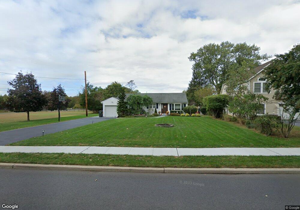
190 Whalepond Rd Oakhurst, NJ 07755
Estimated Value: $838,387 - $970,000
3
Beds
1
Bath
1,550
Sq Ft
$586/Sq Ft
Est. Value
About This Home
This home is located at 190 Whalepond Rd, Oakhurst, NJ 07755 and is currently estimated at $908,097, approximately $585 per square foot. 190 Whalepond Rd is a home located in Monmouth County with nearby schools including Ocean Township High School, St. Mary of the Assumption School, and Bet Yaakov of the Jersey Shore.
Ownership History
Date
Name
Owned For
Owner Type
Purchase Details
Closed on
Sep 14, 1998
Sold by
Fornicola Theodore
Bought by
Falco Stephen and Seip Yon
Current Estimated Value
Home Financials for this Owner
Home Financials are based on the most recent Mortgage that was taken out on this home.
Original Mortgage
$160,000
Outstanding Balance
$33,704
Interest Rate
6.74%
Estimated Equity
$874,393
Create a Home Valuation Report for This Property
The Home Valuation Report is an in-depth analysis detailing your home's value as well as a comparison with similar homes in the area
Home Values in the Area
Average Home Value in this Area
Purchase History
| Date | Buyer | Sale Price | Title Company |
|---|---|---|---|
| Falco Stephen | $170,000 | -- |
Source: Public Records
Mortgage History
| Date | Status | Borrower | Loan Amount |
|---|---|---|---|
| Open | Falco Stephen | $160,000 |
Source: Public Records
Tax History Compared to Growth
Tax History
| Year | Tax Paid | Tax Assessment Tax Assessment Total Assessment is a certain percentage of the fair market value that is determined by local assessors to be the total taxable value of land and additions on the property. | Land | Improvement |
|---|---|---|---|---|
| 2025 | $8,868 | $649,600 | $411,100 | $238,500 |
| 2024 | $10,154 | $621,900 | $428,300 | $193,600 |
| 2023 | $10,154 | $664,100 | $475,900 | $188,200 |
| 2022 | $9,086 | $516,100 | $336,900 | $179,200 |
| 2021 | $9,086 | $462,400 | $308,400 | $154,000 |
| 2020 | $9,288 | $466,500 | $316,000 | $150,500 |
| 2019 | $8,032 | $393,900 | $258,000 | $135,900 |
| 2018 | $6,824 | $325,900 | $196,300 | $129,600 |
| 2017 | $6,637 | $315,600 | $182,000 | $133,600 |
| 2016 | $7,166 | $306,500 | $182,000 | $124,500 |
| 2015 | $7,223 | $312,800 | $191,500 | $121,300 |
| 2014 | $6,959 | $305,500 | $191,500 | $114,000 |
Source: Public Records
Map
Nearby Homes
- 186 Whalepond Rd
- 221 Harrison Ave
- 156 Belmar Ave
- 216 Chatham Ave
- 6 Arlington St
- 197 Delaware Ave
- 227 Chatham Ave
- 120 Whalepond Rd
- 459 Harnell Ave
- 35 Shadow Lawn Dr
- 8 Corey Dr
- 185 Pinecrest Rd
- 243 Woodcrest Rd
- 8 Ross Ct
- 185 Elmwood Rd
- 82 Larkin Place
- 421 W Lincoln Ave
- 408 Deal Rd
- 452 W Park Ave
- 406 W Park Ave
- 180 Whalepond Rd
- 180 Whalepond Rd Unit SUMMER
- 180 Whalepond Rd Unit WINTER
- 189 Whalepond Rd
- 187 Whalepond Rd
- 178 Whalepond Rd
- 515 Freehold St
- 185 Whalepond Rd
- 183 Whalepond Rd
- 511 Freehold St
- 176 Whalepond Rd
- 176 Whalepond Rd Unit WINTER
- 205 Whalepond Rd
- 520 Garwood St
- 186 Ampere Ave
- 190 Ampere Ave
- 184 Ampere Ave
- 507 Freehold St
- 514 Garwood St
- 532 Dow Ave