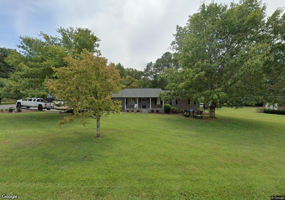
190 Wheat Dr Dalton, GA 30721
Estimated Value: $263,589 - $296,000
Studio
2
Baths
1,528
Sq Ft
$188/Sq Ft
Est. Value
About This Home
This home is located at 190 Wheat Dr, Dalton, GA 30721 and is currently estimated at $286,647, approximately $187 per square foot. 190 Wheat Dr is a home located in Whitfield County with nearby schools including Varnell Elementary School and Coahulla Creek High School.
Ownership History
Date
Name
Owned For
Owner Type
Purchase Details
Closed on
Sep 9, 2011
Sold by
Stanfield Wayne
Bought by
Stanfield Anthony Wayne
Current Estimated Value
Purchase Details
Closed on
Mar 2, 2007
Sold by
Stanfield Wayne
Bought by
Stanfield Wayne
Home Financials for this Owner
Home Financials are based on the most recent Mortgage that was taken out on this home.
Original Mortgage
$28,000
Interest Rate
6.3%
Mortgage Type
New Conventional
Purchase Details
Closed on
Apr 15, 2002
Sold by
Stanfield Gina
Bought by
Stanfield Gina and Stanfield Wayne
Purchase Details
Closed on
Jan 27, 2000
Sold by
Payne Gary and Payne Gina L
Bought by
Stanfield Gina
Purchase Details
Closed on
Dec 1, 1991
Bought by
Payne Gary and Payne Gina L
Create a Home Valuation Report for This Property
The Home Valuation Report is an in-depth analysis detailing your home's value as well as a comparison with similar homes in the area
Home Values in the Area
Average Home Value in this Area
Purchase History
| Date | Buyer | Sale Price | Title Company |
|---|---|---|---|
| Stanfield Anthony Wayne | -- | -- | |
| Stanfield Wayne | -- | -- | |
| Stanfield Gina | -- | -- | |
| Stanfield Gina | -- | -- | |
| Payne Gary | $8,000 | -- |
Source: Public Records
Mortgage History
| Date | Status | Borrower | Loan Amount |
|---|---|---|---|
| Previous Owner | Stanfield Wayne | $28,000 |
Source: Public Records
Tax History
| Year | Tax Paid | Tax Assessment Tax Assessment Total Assessment is a certain percentage of the fair market value that is determined by local assessors to be the total taxable value of land and additions on the property. | Land | Improvement |
|---|---|---|---|---|
| 2025 | $2,565 | $101,038 | $7,400 | $93,638 |
| 2024 | $2,565 | $101,038 | $7,400 | $93,638 |
| 2023 | $1,777 | $68,799 | $4,200 | $64,599 |
| 2022 | $1,180 | $48,548 | $4,200 | $44,348 |
| 2021 | $1,180 | $48,548 | $4,200 | $44,348 |
| 2020 | $1,208 | $48,548 | $4,200 | $44,348 |
| 2019 | $1,086 | $44,125 | $4,200 | $39,925 |
| 2018 | $1,098 | $44,125 | $4,200 | $39,925 |
| 2017 | $1,098 | $44,125 | $4,200 | $39,925 |
| 2016 | $1,023 | $42,623 | $6,300 | $36,323 |
| 2014 | $948 | $42,623 | $6,300 | $36,323 |
| 2013 | -- | $42,623 | $6,300 | $36,323 |
Source: Public Records
Map
Nearby Homes
- 0 Cleveland Hwy
- 0 Ruby Dr
- 3922 Georgia 2
- 4223 Spring Valley Dr
- 101 Ola Dr
- 122 Golf View Dr
- 0 Tee Top Dr
- 115 Drivers Ln
- Lot 93 Country Way
- Lot 92 Country Way
- 4323 Cronan Dr
- 103 Barbara Ruth Dr NW
- Lot 82 Highland Pointe Dr
- Lot 83 Highland Pointe Dr
- Lot 95 Highland Pointe Dr
- LOT 52 Highland Pointe Dr
- Lot 89 Highland Pointe Dr
- Lot 81 Highland Pointe Dr
- Lot 94 Highland Pointe Dr
- Lot 84 Highland Pointe Dr
- 150 Wheat Dr
- 196 Wheat Dr
- 146 Wheat Dr
- 194 Wheat Dr
- 198 Wheat Dr
- 113 Wheat Dr
- 140 Wheat Dr
- 115 Wheat Dr
- 0 Wheat Dr Unit RTC2722612
- 0 Wheat Dr Unit 1326065
- 0 Wheat Dr Unit 117510
- 0 Wheat Dr Unit RTC2424808
- 0 Wheat Dr Unit RTC2341933
- 220 Wheat Dr
- 124 Wheat Dr
- 224 Wheat Dr
- 232 Wheat Dr
- 117 Wheat Dr
- 213 Wheat Dr
- 234 Wheat Dr
Your Personal Tour Guide
Ask me questions while you tour the home.