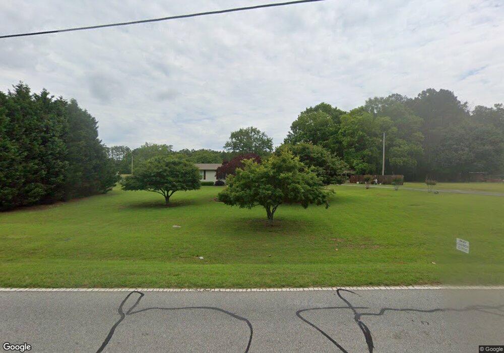
190 Willis Rd Sharpsburg, GA 30277
Estimated Value: $307,000 - $326,707
3
Beds
2
Baths
1,632
Sq Ft
$195/Sq Ft
Est. Value
About This Home
This home is located at 190 Willis Rd, Sharpsburg, GA 30277 and is currently estimated at $317,427, approximately $194 per square foot. 190 Willis Rd is a home located in Coweta County with nearby schools including Willis Road Elementary School, Lee Middle School, and East Coweta High School.
Ownership History
Date
Name
Owned For
Owner Type
Purchase Details
Closed on
Aug 6, 2012
Sold by
Hubbard Ralph
Bought by
Hubbard Timothy Mark and Hubbard Teresa Lynn
Current Estimated Value
Purchase Details
Closed on
Jun 29, 1990
Bought by
Hubbard Tim
Purchase Details
Closed on
Jun 25, 1990
Bought by
Hubbard Timothy Mark
Purchase Details
Closed on
May 31, 1972
Bought by
Hubbard Ralph
Create a Home Valuation Report for This Property
The Home Valuation Report is an in-depth analysis detailing your home's value as well as a comparison with similar homes in the area
Home Values in the Area
Average Home Value in this Area
Purchase History
| Date | Buyer | Sale Price | Title Company |
|---|---|---|---|
| Hubbard Timothy Mark | -- | -- | |
| Hubbard Tim | -- | -- | |
| Hubbard Timothy Mark | -- | -- | |
| Hubbard Ralph | -- | -- |
Source: Public Records
Tax History Compared to Growth
Tax History
| Year | Tax Paid | Tax Assessment Tax Assessment Total Assessment is a certain percentage of the fair market value that is determined by local assessors to be the total taxable value of land and additions on the property. | Land | Improvement |
|---|---|---|---|---|
| 2025 | $1,373 | $100,887 | $29,925 | $70,962 |
| 2024 | $1,269 | $97,753 | $27,967 | $69,786 |
| 2023 | $1,269 | $104,250 | $25,895 | $78,354 |
| 2022 | $1,790 | $77,369 | $25,895 | $51,474 |
| 2021 | $1,737 | $70,648 | $24,662 | $45,986 |
| 2020 | $1,747 | $70,648 | $24,662 | $45,986 |
| 2019 | $1,575 | $58,608 | $18,378 | $40,231 |
| 2018 | $1,578 | $58,608 | $18,378 | $40,231 |
| 2017 | $1,578 | $58,608 | $18,377 | $40,231 |
| 2016 | $1,561 | $58,608 | $18,378 | $40,231 |
| 2015 | $1,537 | $58,608 | $18,378 | $40,231 |
| 2014 | $1,528 | $58,608 | $18,378 | $40,231 |
Source: Public Records
Map
Nearby Homes
- 0 Highway 154 Unit 10470800
- 25 Chemin Place
- 180 Saint James Place
- 25 Lentry Dr
- 20 Beaver Creek Ln
- 140 Halo Trace
- 1367 Sharpsburg McCollum Rd
- 21 Lake Park Ct
- 250 Bob Smith Rd
- 196 Bob Smith Rd
- 131 Pecan Lake Dr
- 0 Bob Smith Rd Unit 10562838
- 8 Chiefs Trail
- 270 Sturgess Run
- 214 Northwynn Dr
- 138 Main St
- 50 Kay Ct
- 1 Mcintosh Trail
- 7483 Highway 54
- 150 Riverside Dr