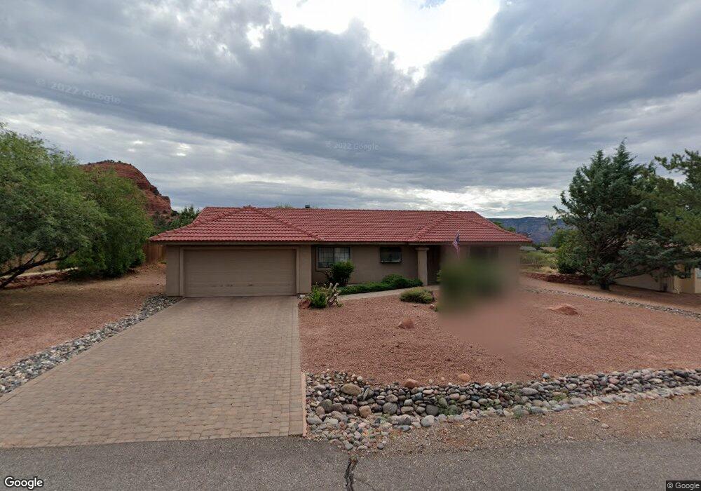
190 Yucca Dr Sedona, AZ 86336
Estimated Value: $855,027 - $939,000
--
Bed
--
Bath
1,780
Sq Ft
$507/Sq Ft
Est. Value
About This Home
This home is located at 190 Yucca Dr, Sedona, AZ 86336 and is currently estimated at $903,007, approximately $507 per square foot. 190 Yucca Dr is a home located in Yavapai County with nearby schools including West Sedona Elementary School, Sedona Red Rock Junior/Senior High School, and Sedona Charter School.
Ownership History
Date
Name
Owned For
Owner Type
Purchase Details
Closed on
May 27, 2022
Sold by
Martin-Hasten Revocable Trust
Bought by
Marinic Daniel K and Marinic Ann K
Current Estimated Value
Home Financials for this Owner
Home Financials are based on the most recent Mortgage that was taken out on this home.
Original Mortgage
$647,200
Outstanding Balance
$614,894
Interest Rate
5.1%
Mortgage Type
New Conventional
Estimated Equity
$288,113
Purchase Details
Closed on
Jun 15, 2015
Sold by
Hasten Linda Louise and Martin John Charles Henry
Bought by
Martin Hasten Revocable Trust and Hasten Linda Louise
Create a Home Valuation Report for This Property
The Home Valuation Report is an in-depth analysis detailing your home's value as well as a comparison with similar homes in the area
Home Values in the Area
Average Home Value in this Area
Purchase History
| Date | Buyer | Sale Price | Title Company |
|---|---|---|---|
| Marinic Daniel K | $850,000 | Yavapai Title Agency | |
| Martin Hasten Revocable Trust | -- | None Available |
Source: Public Records
Mortgage History
| Date | Status | Borrower | Loan Amount |
|---|---|---|---|
| Open | Marinic Daniel K | $647,200 |
Source: Public Records
Tax History Compared to Growth
Tax History
| Year | Tax Paid | Tax Assessment Tax Assessment Total Assessment is a certain percentage of the fair market value that is determined by local assessors to be the total taxable value of land and additions on the property. | Land | Improvement |
|---|---|---|---|---|
| 2026 | $3,001 | $64,558 | -- | -- |
| 2024 | $3,230 | $69,993 | -- | -- |
| 2023 | $3,230 | $48,917 | $0 | $0 |
| 2022 | $3,171 | $41,012 | $12,837 | $28,175 |
| 2021 | $3,223 | $36,918 | $9,091 | $27,827 |
| 2020 | $3,223 | $0 | $0 | $0 |
| 2019 | $3,192 | $0 | $0 | $0 |
| 2018 | $3,047 | $0 | $0 | $0 |
| 2017 | $2,965 | $0 | $0 | $0 |
| 2016 | $2,925 | $0 | $0 | $0 |
| 2015 | -- | $0 | $0 | $0 |
| 2014 | -- | $0 | $0 | $0 |
Source: Public Records
Map
Nearby Homes
- 2200 Buckboard Rd
- 2190 Sanborn Dr
- 2310 Corral Rd
- 25 Edgewood Cir
- 55 Stations Dr W
- 500 Sunshine Ln Unit 1
- 747 Mountain Shadows Dr
- 160 Budd Way
- 2570 Blue Horizon Rd
- 40 Cliff View Ct
- 460 Coffee Pot Dr
- 280 Goodrow Ln
- 30 Schimberg Rd
- 145 Grounds Dr
- 510 Concord Dr
- 2680 Blue Horizon Rd
- 260 Coffee Pot Dr Unit 17
- 260 Coffee Pot Dr Unit 6
- 260 Coffee Pot Dr Unit 20
- 420 Windsong Dr