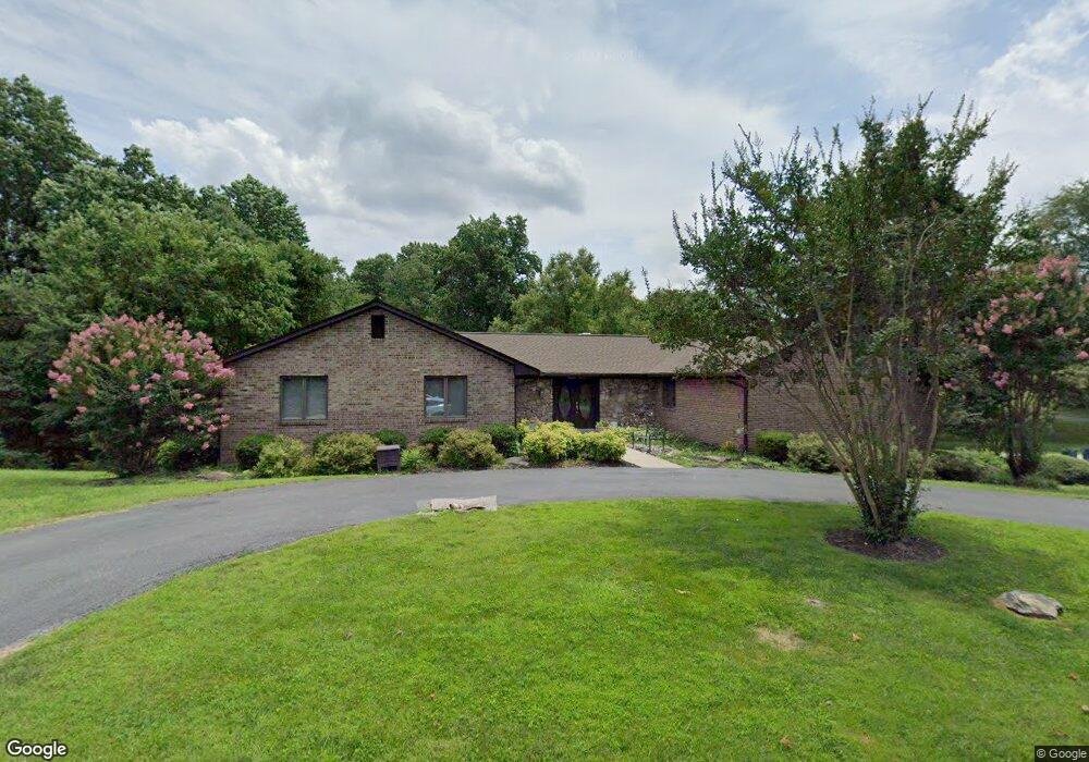
1900 Armond Ln Silver Spring, MD 20905
Estimated Value: $776,000 - $1,051,000
Studio
5
Baths
3,761
Sq Ft
$234/Sq Ft
Est. Value
About This Home
This home is located at 1900 Armond Ln, Silver Spring, MD 20905 and is currently estimated at $881,683, approximately $234 per square foot. 1900 Armond Ln is a home located in Montgomery County with nearby schools including Cloverly Elementary School, Briggs Chaney Middle School, and Paint Branch High School.
Ownership History
Date
Name
Owned For
Owner Type
Purchase Details
Closed on
Nov 25, 2022
Sold by
Arthur J Anders Revocable Trust
Bought by
Loukota Tammy Kirby
Current Estimated Value
Purchase Details
Closed on
Jan 15, 2004
Sold by
Ers and Ers Arthur J
Bought by
Anders Arthur J Tr
Purchase Details
Closed on
Jun 24, 2003
Sold by
Anders Arthur J Et Al Tr
Bought by
Anders Arthur J
Purchase Details
Closed on
Apr 7, 2000
Sold by
Anders Arthur J Tr
Bought by
Anders Arthur J Et Al Tr
Purchase Details
Closed on
May 23, 1996
Sold by
M Arthur J and M Anders E
Bought by
Arthur J Anders Tr
Create a Home Valuation Report for This Property
The Home Valuation Report is an in-depth analysis detailing your home's value as well as a comparison with similar homes in the area
Home Values in the Area
Average Home Value in this Area
Purchase History
| Date | Buyer | Sale Price | Title Company |
|---|---|---|---|
| Loukota Tammy Kirby | -- | -- | |
| Loukota Tammy Kirby | -- | None Listed On Document | |
| Anders Arthur J Tr | -- | -- | |
| Anders Arthur J Tr | -- | -- | |
| Anders Arthur J | -- | -- | |
| Anders Arthur J Et Al Tr | -- | -- | |
| Arthur J Anders Tr | -- | -- |
Source: Public Records
Tax History
| Year | Tax Paid | Tax Assessment Tax Assessment Total Assessment is a certain percentage of the fair market value that is determined by local assessors to be the total taxable value of land and additions on the property. | Land | Improvement |
|---|---|---|---|---|
| 2025 | $9,480 | $786,467 | -- | -- |
| 2024 | $9,480 | $760,933 | $0 | $0 |
| 2023 | $8,453 | $735,400 | $299,300 | $436,100 |
| 2022 | $7,438 | $678,167 | $0 | $0 |
| 2021 | $6,072 | $620,933 | $0 | $0 |
| 2020 | $6,072 | $563,700 | $332,600 | $231,100 |
| 2019 | $6,050 | $563,700 | $332,600 | $231,100 |
| 2018 | $6,053 | $563,700 | $332,600 | $231,100 |
| 2017 | $6,736 | $614,300 | $0 | $0 |
| 2016 | -- | $614,300 | $0 | $0 |
| 2015 | $8,771 | $614,300 | $0 | $0 |
| 2014 | $8,771 | $674,700 | $0 | $0 |
Source: Public Records
Map
Nearby Homes
- 1400 Spencerville Rd
- 2307 Spencerville Rd
- 15533 Thompson Rd
- 1225 Spencerville Rd
- 1600 Rainbow Dr
- 1320 Rainbow Dr
- 15330 Hildegard Ln
- 15801 New Hampshire Ave
- 15408 Valencia St
- 14917 Claude Ln
- 1701 Maydale Dr
- 16612 Medinah Ct
- 1804 Briggs Chaney Rd
- 550 Bryants Nursery Rd
- 401 Bryants Nursery Rd
- 2304 Holly Spring Dr
- 1325 Patuxent Dr
- 15230 Briarcliff Manor Way
- 14511 Claude Ln
- 1401 Tucker Ln
- 1901 Armond Ln
- 2004 Sondra Ct
- 16309 Oak Hill Rd
- 16209 Carefree Ln
- 1909 Armond Ln
- 1805 Armond Ln
- 1801 Armond Ln
- 2001 Armond Ln
- 16213 Carefree Ln
- 2000 Armond Ln
- 2015 Sondra Ct
- 16201 Oak Hill Rd
- 16121 Oak Hill Rd
- 1916 Spencerville Rd
- 2011 Armond Ln
- 1800 Spencerville Rd
- 2031 Avoca Ln
- 2101 Avoca Ln
- 16300 Oak Hill Rd
- 1910 Spencerville Rd
Your Personal Tour Guide
Ask me questions while you tour the home.