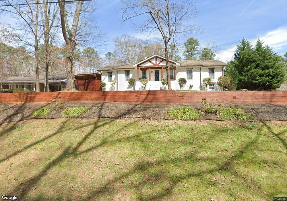
1900 Arnold Dr Austell, GA 30106
Estimated Value: $342,000 - $375,000
4
Beds
3
Baths
1,899
Sq Ft
$186/Sq Ft
Est. Value
About This Home
This home is located at 1900 Arnold Dr, Austell, GA 30106 and is currently estimated at $352,333, approximately $185 per square foot. 1900 Arnold Dr is a home located in Cobb County with nearby schools including Deerwood Elementary School, Austell Elementary School, and Garrett Middle School.
Ownership History
Date
Name
Owned For
Owner Type
Purchase Details
Closed on
Aug 26, 2008
Sold by
Pineda Ernesto
Bought by
Barragan Sandra
Current Estimated Value
Home Financials for this Owner
Home Financials are based on the most recent Mortgage that was taken out on this home.
Original Mortgage
$168,150
Outstanding Balance
$109,709
Interest Rate
6.21%
Mortgage Type
New Conventional
Estimated Equity
$242,624
Purchase Details
Closed on
Jul 22, 1999
Sold by
Putnam Donald M
Bought by
Ledoux Jean C and Ledoux Gabrielle J
Home Financials for this Owner
Home Financials are based on the most recent Mortgage that was taken out on this home.
Original Mortgage
$137,850
Interest Rate
7.65%
Mortgage Type
FHA
Create a Home Valuation Report for This Property
The Home Valuation Report is an in-depth analysis detailing your home's value as well as a comparison with similar homes in the area
Home Values in the Area
Average Home Value in this Area
Purchase History
| Date | Buyer | Sale Price | Title Company |
|---|---|---|---|
| Barragan Sandra | $177,000 | -- | |
| Ledoux Jean C | $138,000 | -- |
Source: Public Records
Mortgage History
| Date | Status | Borrower | Loan Amount |
|---|---|---|---|
| Open | Barragan Sandra | $168,150 | |
| Previous Owner | Ledoux Jean C | $137,850 |
Source: Public Records
Tax History Compared to Growth
Tax History
| Year | Tax Paid | Tax Assessment Tax Assessment Total Assessment is a certain percentage of the fair market value that is determined by local assessors to be the total taxable value of land and additions on the property. | Land | Improvement |
|---|---|---|---|---|
| 2025 | $3,337 | $138,548 | $24,000 | $114,548 |
| 2024 | $3,340 | $138,548 | $24,000 | $114,548 |
| 2023 | $2,797 | $138,548 | $24,000 | $114,548 |
| 2022 | $2,690 | $107,680 | $24,000 | $83,680 |
| 2021 | $1,971 | $74,812 | $22,000 | $52,812 |
| 2020 | $1,971 | $74,812 | $22,000 | $52,812 |
| 2019 | $1,912 | $72,120 | $8,000 | $64,120 |
| 2018 | $1,912 | $72,120 | $8,000 | $64,120 |
| 2017 | $1,814 | $72,120 | $8,000 | $64,120 |
| 2016 | $1,009 | $43,984 | $8,000 | $35,984 |
| 2015 | $1,035 | $43,984 | $8,000 | $35,984 |
| 2014 | $1,503 | $59,404 | $0 | $0 |
Source: Public Records
Map
Nearby Homes
- 1943 Arnold Dr
- 1971 Annette Ln
- Bayberry Plan at Sawmill Creek - Bungalow Series
- Wisteria Plan at Sawmill Creek - Bungalow Series
- Redbud Plan at Sawmill Creek - Bungalow Series
- Laurel Plan at Avenbrook
- Rosedale Plan at Avenbrook
- Fulmont at Avenbrook Plan at Avenbrook
- Addison Plan at Avenbrook
- Conley Plan at Avenbrook
- 1803 Gherry Dr
- 1645 Fulmont Cir
- 1 Perkerson Mill Rd SW
- 5164 Medford Ln
- 5154 Medford Ln
- 5410 Beth Dr
- 0 Harris St Unit 7661273
- 5466 Davis Dr
- 1841 Mobley St
- 5320 Beth Dr
- 1910 Arnold Dr
- 1901 Arnold Dr
- 1903 Lelia St
- 1878 Arnold Dr
- 1911 Arnold Dr
- 1920 Arnold Dr
- 1881 Arnold Dr
- 1921 Arnold Dr
- 1913 Lelia St
- 1933 Leila St
- 214 Leila St
- 1953 Lelia St
- 1930 Arnold Dr
- 1867 Arnold Dr
- 1854 Arnold Dr
- 1933 Lelia St
- 1898 Annette Ln Unit 2
- 1943 Lelia St
- 1910 Annette Ln
- 1910 Annette Ln SW