1900 Aspen Dr Hudson, WI 54016
Estimated Value: $6,949,013
1
Bed
1
Bath
18,848
Sq Ft
$369/Sq Ft
Est. Value
About This Home
This home is located at 1900 Aspen Dr, Hudson, WI 54016 and is currently estimated at $6,949,013, approximately $368 per square foot. 1900 Aspen Dr is a home located in St. Croix County with nearby schools including E.P. Rock Elementary School, Hudson Middle School, and Hudson High School.
Ownership History
Date
Name
Owned For
Owner Type
Purchase Details
Closed on
Sep 17, 2021
Sold by
Arbors Of Hudson Llc
Bought by
D & B Grays Landing Llc
Current Estimated Value
Home Financials for this Owner
Home Financials are based on the most recent Mortgage that was taken out on this home.
Original Mortgage
$3,705,000
Outstanding Balance
$3,371,274
Interest Rate
2.8%
Mortgage Type
Commercial
Estimated Equity
$3,577,739
Purchase Details
Closed on
Jan 1, 2015
Sold by
Aspen Square Hudson Limited Partnership
Bought by
Arbors Of Hudson Llc
Home Financials for this Owner
Home Financials are based on the most recent Mortgage that was taken out on this home.
Original Mortgage
$3,100,000
Interest Rate
3.84%
Mortgage Type
Purchase Money Mortgage
Create a Home Valuation Report for This Property
The Home Valuation Report is an in-depth analysis detailing your home's value as well as a comparison with similar homes in the area
Home Values in the Area
Average Home Value in this Area
Purchase History
| Date | Buyer | Sale Price | Title Company |
|---|---|---|---|
| D & B Grays Landing Llc | $5,700,000 | Guaranty Commercial Title | |
| Arbors Of Hudson Llc | $3,286,500 | None Available |
Source: Public Records
Mortgage History
| Date | Status | Borrower | Loan Amount |
|---|---|---|---|
| Open | D & B Grays Landing Llc | $3,705,000 | |
| Previous Owner | Arbors Of Hudson Llc | $3,100,000 |
Source: Public Records
Tax History Compared to Growth
Tax History
| Year | Tax Paid | Tax Assessment Tax Assessment Total Assessment is a certain percentage of the fair market value that is determined by local assessors to be the total taxable value of land and additions on the property. | Land | Improvement |
|---|---|---|---|---|
| 2024 | $758 | $4,203,500 | $613,900 | $3,589,600 |
| 2023 | $72,559 | $4,203,500 | $613,900 | $3,589,600 |
| 2022 | $72,559 | $4,203,500 | $613,900 | $3,589,600 |
| 2021 | $0 | $0 | $0 | $0 |
| 2020 | $0 | $0 | $0 | $0 |
| 2019 | $25,561 | $0 | $0 | $0 |
| 2018 | $0 | $0 | $0 | $0 |
| 2017 | $29,883 | $0 | $0 | $0 |
| 2016 | $29,883 | $0 | $0 | $0 |
| 2015 | $29,883 | $0 | $0 | $0 |
| 2014 | $29,883 | $1,750,000 | $430,500 | $1,319,500 |
| 2013 | $31,001 | $1,750,000 | $430,500 | $1,319,500 |
Source: Public Records
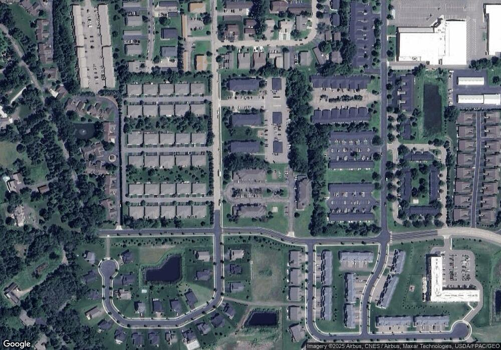
Map
Nearby Homes
- 1501 Southpoint Dr
- 1521 Southpoint Dr
- 1718 Southpoint Ln
- 1571 Southpoint Dr
- 1901 Stone Creek
- 1588 Southpoint Dr
- 1337 Heggen St Unit 1B
- 2473 Sharon Ln
- 2233 Sharon Ln
- 2475 Sydney Ln
- 2356 Sydney Ln
- 2467 Sydney Ln
- 2348 Sydney Ln
- 2359 Sydney Ln
- 2306 Simply Living Ln
- 2310 Simply Living Ln
- 2313 Simply Living Ln Unit B
- 2229 Sharon Ln
- 2225 Sharon Ln
- 2461 Sharon Ln
- 1900-1920 Aspen Dr
- 1758 Aspen Dr
- 1478 Lee Cir
- 1437 Wheat Grass St
- XXX 40 Acr Carmichael Rd
- XXX 40 Acres Carmichael Rd
- 1436 Wheat Grass St
- 1505 Southpoint Dr
- 1436 Sweet Grass St
- 1474 Lee Cir
- 1433 Wheat Grass St
- 1901 Industrial St Unit 210
- 1901 Industrial St Unit 209
- 1901 Industrial St Unit 208
- 1901 Industrial St Unit 207
- 1901 Industrial St Unit 206
- 1901 Industrial St Unit 205
- 1901 Industrial St Unit 204
- 1901 Industrial St Unit 203
- 1901 Industrial St Unit 202