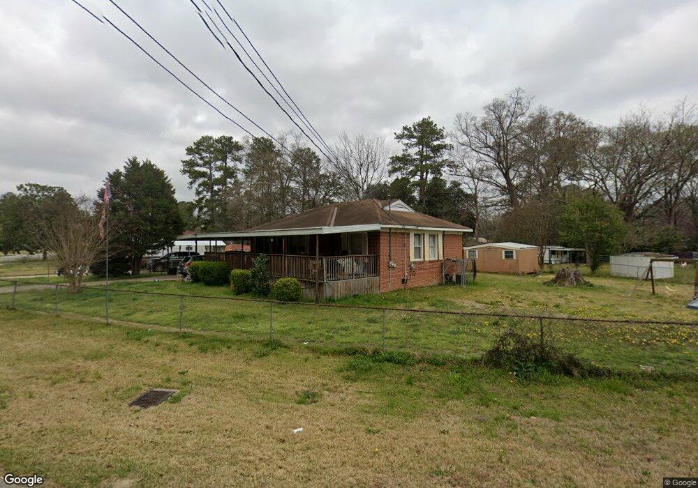
1900 Avalon Rd Columbus, GA 31907
East Columbus NeighborhoodEstimated Value: $133,842 - $140,000
3
Beds
2
Baths
1,374
Sq Ft
$100/Sq Ft
Est. Value
About This Home
This home is located at 1900 Avalon Rd, Columbus, GA 31907 and is currently estimated at $136,961, approximately $99 per square foot. 1900 Avalon Rd is a home located in Muscogee County with nearby schools including Davis Elementary School, Richards Middle School, and Hardaway High School.
Ownership History
Date
Name
Owned For
Owner Type
Purchase Details
Closed on
Jul 18, 2016
Sold by
Timothy A
Bought by
Mort Jason W and Mort Amy A
Current Estimated Value
Home Financials for this Owner
Home Financials are based on the most recent Mortgage that was taken out on this home.
Original Mortgage
$61,111
Outstanding Balance
$49,236
Interest Rate
3.87%
Mortgage Type
FHA
Estimated Equity
$87,725
Purchase Details
Closed on
Jan 9, 2012
Sold by
Starley Angel L
Bought by
Starley Angel L and Starley Timothy A
Create a Home Valuation Report for This Property
The Home Valuation Report is an in-depth analysis detailing your home's value as well as a comparison with similar homes in the area
Home Values in the Area
Average Home Value in this Area
Purchase History
| Date | Buyer | Sale Price | Title Company |
|---|---|---|---|
| Mort Jason W | $62,240 | -- | |
| Starley Angel L | -- | -- | |
| Starley Angel L | -- | -- |
Source: Public Records
Mortgage History
| Date | Status | Borrower | Loan Amount |
|---|---|---|---|
| Open | Mort Jason W | $61,111 |
Source: Public Records
Tax History
| Year | Tax Paid | Tax Assessment Tax Assessment Total Assessment is a certain percentage of the fair market value that is determined by local assessors to be the total taxable value of land and additions on the property. | Land | Improvement |
|---|---|---|---|---|
| 2025 | $458 | $43,692 | $9,408 | $34,284 |
| 2024 | $457 | $43,692 | $9,408 | $34,284 |
| 2023 | $21 | $43,692 | $9,408 | $34,284 |
| 2022 | $476 | $33,996 | $7,056 | $26,940 |
| 2021 | $469 | $33,996 | $7,056 | $26,940 |
| 2020 | $469 | $33,996 | $7,056 | $26,940 |
| 2019 | $473 | $33,996 | $7,056 | $26,940 |
| 2018 | $473 | $33,996 | $7,056 | $26,940 |
| 2017 | $476 | $24,880 | $5,360 | $19,520 |
| 2016 | $911 | $22,088 | $4,437 | $17,651 |
| 2015 | $912 | $22,088 | $4,437 | $17,651 |
| 2014 | $913 | $22,088 | $4,437 | $17,651 |
| 2013 | -- | $22,088 | $4,437 | $17,651 |
Source: Public Records
Map
Nearby Homes
- 3946 Forestside Dr
- 4229 Barr St
- 1650 Berkley Ave
- 3903 Forestside Dr
- 1618 Forestside Dr
- 4418 Gardiner Dr
- 1544 Celia Dr
- 4 Clausen Dr
- 911 Lamore St
- 1433 Kevin Ct
- 4135 Forrest Rd
- 4201 Forrest Rd
- 2218 Avalon Rd
- 3857 Woodland Dr
- 3836 Mulberry Dr
- 2213 Welch Dr
- 4250 Adams St
- 4231 Adams St
- 4384 Forrest Rd
- 4390 Forrest Rd
- 4209 Snellings Dr
- 1908 Avalon Rd
- 4212 Barr St
- 4213 Snellings Dr
- 1916 Avalon Rd
- 4218 Barr St
- 1840 Avalon Rd
- 4202 Snellings Dr
- 1909 Avalon Rd
- 4224 Barr St
- 4206 Snellings Dr
- 4219 Snellings Dr
- 1841 Avalon Rd
- 4210 Snellings Dr
- 1903 Avalon Rd
- 1928 Avalon Rd
- 1921 Avalon Rd
- 4216 Snellings Dr
- 4230 Barr St
- 4225 Snellings Dr
Your Personal Tour Guide
Ask me questions while you tour the home.