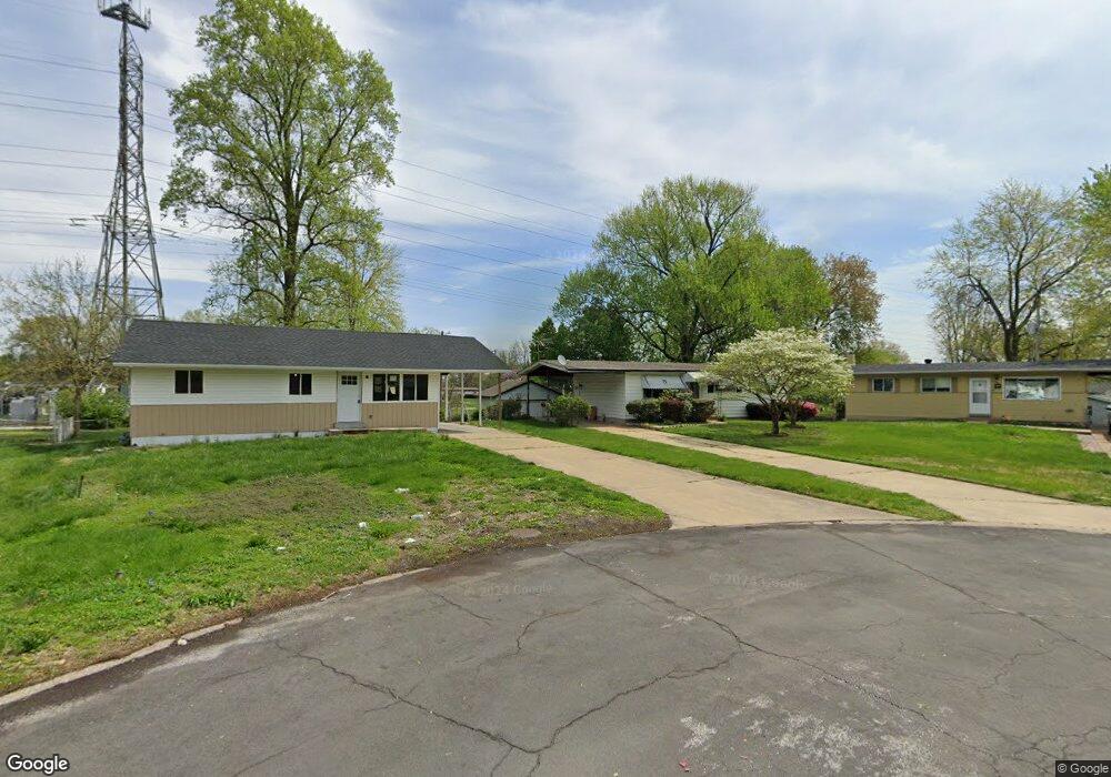
1900 Curtis Ct Florissant, MO 63031
Estimated Value: $145,000 - $164,509
3
Beds
2
Baths
912
Sq Ft
$169/Sq Ft
Est. Value
About This Home
This home is located at 1900 Curtis Ct, Florissant, MO 63031 and is currently estimated at $154,377, approximately $169 per square foot. 1900 Curtis Ct is a home located in St. Louis County with nearby schools including Walker Elementary School, Northwest Middle School, and Hazelwood West High School.
Ownership History
Date
Name
Owned For
Owner Type
Purchase Details
Closed on
Jun 30, 1999
Sold by
Sullivan Elizabeth A
Bought by
Nagle William F
Current Estimated Value
Home Financials for this Owner
Home Financials are based on the most recent Mortgage that was taken out on this home.
Original Mortgage
$73,682
Outstanding Balance
$19,689
Interest Rate
7.21%
Mortgage Type
FHA
Estimated Equity
$134,688
Create a Home Valuation Report for This Property
The Home Valuation Report is an in-depth analysis detailing your home's value as well as a comparison with similar homes in the area
Home Values in the Area
Average Home Value in this Area
Purchase History
| Date | Buyer | Sale Price | Title Company |
|---|---|---|---|
| Nagle William F | $73,820 | -- |
Source: Public Records
Mortgage History
| Date | Status | Borrower | Loan Amount |
|---|---|---|---|
| Open | Nagle William F | $73,682 |
Source: Public Records
Tax History Compared to Growth
Tax History
| Year | Tax Paid | Tax Assessment Tax Assessment Total Assessment is a certain percentage of the fair market value that is determined by local assessors to be the total taxable value of land and additions on the property. | Land | Improvement |
|---|---|---|---|---|
| 2025 | $2,046 | $29,690 | $6,000 | $23,690 |
| 2024 | $2,046 | $22,760 | $3,080 | $19,680 |
| 2023 | $2,043 | $22,760 | $3,080 | $19,680 |
| 2022 | $1,979 | $19,670 | $3,440 | $16,230 |
| 2021 | $1,928 | $19,670 | $3,440 | $16,230 |
| 2020 | $1,920 | $18,450 | $3,080 | $15,370 |
| 2019 | $1,891 | $18,450 | $3,080 | $15,370 |
| 2018 | $1,584 | $14,180 | $2,930 | $11,250 |
| 2017 | $1,583 | $14,180 | $2,930 | $11,250 |
| 2016 | $1,530 | $13,510 | $2,930 | $10,580 |
| 2015 | $1,497 | $13,510 | $2,930 | $10,580 |
| 2014 | $1,654 | $15,410 | $3,480 | $11,930 |
Source: Public Records
Map
Nearby Homes
- 660 Crabapple Ln
- 915 Iris Dr
- 665 Redwing Dr
- 670 Starlet Dr
- 2320 Patterson Rd
- 1150 Verlene Dr
- 685 Mullanphy Rd
- 1700 Patterson Rd
- 1120 Bluebird Dr
- 890 Tyson Dr
- 2186 Aristocrat Dr
- 2255 Collier Dr
- 465 Falcon Dr
- 1075 Lees Ln
- 1540 Angelus Dr
- 1155 Mullanphy Rd
- 405 Wren Dr
- 1480 Vesper Dr
- 2185 Orleans Ln
- 1395 Bluebird Dr
- 1890 Curtis Ct
- 1915 Curtis Ct
- 1880 Curtis Ct
- 1915 Shirlene Dr
- 1925 Shirlene Dr
- 1905 Curtis Ct
- 1895 Shirlene Dr
- 1870 Curtis Ct
- 1875 Shirlene Dr
- 1895 Curtis Ct
- 1885 Curtis Ct
- 1865 Shirlene Dr
- 1860 Curtis Ct
- 2015 Shirlene Dr
- 1875 Curtis Ct
- 720 Madison Ln
- 730 Madison Ln
- 2010 Shirlene Dr
- 1855 Shirlene Dr
- 1865 Curtis Ct