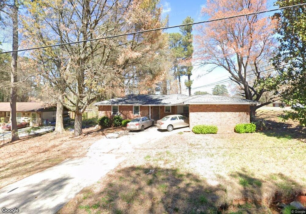
1900 Drennon Ave Austell, GA 30106
Estimated Value: $245,622 - $297,000
3
Beds
2
Baths
1,575
Sq Ft
$174/Sq Ft
Est. Value
About This Home
This home is located at 1900 Drennon Ave, Austell, GA 30106 and is currently estimated at $273,656, approximately $173 per square foot. 1900 Drennon Ave is a home located in Cobb County with nearby schools including Clarkdale Elementary School, Garrett Middle School, and South Cobb High School.
Ownership History
Date
Name
Owned For
Owner Type
Purchase Details
Closed on
Jan 31, 2024
Sold by
Mcmillen Justin
Bought by
Obialo Bruno N
Current Estimated Value
Home Financials for this Owner
Home Financials are based on the most recent Mortgage that was taken out on this home.
Original Mortgage
$182,750
Outstanding Balance
$179,341
Interest Rate
6.61%
Mortgage Type
New Conventional
Estimated Equity
$94,315
Purchase Details
Closed on
Apr 26, 1996
Sold by
Walters Bettie Lord
Bought by
Mcmillen Lovia
Create a Home Valuation Report for This Property
The Home Valuation Report is an in-depth analysis detailing your home's value as well as a comparison with similar homes in the area
Home Values in the Area
Average Home Value in this Area
Purchase History
| Date | Buyer | Sale Price | Title Company |
|---|---|---|---|
| Obialo Bruno N | $215,000 | None Listed On Document | |
| Mcmillen Lovia | $23,000 | -- |
Source: Public Records
Mortgage History
| Date | Status | Borrower | Loan Amount |
|---|---|---|---|
| Open | Obialo Bruno N | $182,750 |
Source: Public Records
Tax History
| Year | Tax Paid | Tax Assessment Tax Assessment Total Assessment is a certain percentage of the fair market value that is determined by local assessors to be the total taxable value of land and additions on the property. | Land | Improvement |
|---|---|---|---|---|
| 2025 | $2,586 | $85,832 | $34,008 | $51,824 |
| 2024 | $2,588 | $85,832 | $34,008 | $51,824 |
| 2023 | $2,117 | $70,224 | $32,220 | $38,004 |
Source: Public Records
Map
Nearby Homes
- 1808 Elmwood Dr
- 2034 Drennon Ave
- 4349 Kousa Rd Unit 4
- 4390 Chelou Dr
- 2081 Lenoa Ln
- 2083 Lenoa Ln
- 2085 Lenoa Ln
- 4688 Bennett St
- 2013 Chesley Dr
- 1951 Bay Beauty Ln Unit 10
- 4814 Clove Dr SW
- 1741 Seayes Rd
- 2110 Plum Ln
- 4420 Pink Rose Ct
- 4630 Hemlock Dr
- 4778 Garrett Dr SW
- 1590 Debbie Dr SW
- 1558 Silver Ridge Dr
- 1558 Silver Ridge Dr SW
- 4809 Hemlock Dr
- 1930 Drennon Ave
- 1940 Drennon Ave
- 4470 Austell Rd
- 4481 Austell Rd
- 1942 Drennon Ave
- 1944 Drennon Ave
- 1914 Mcduffie Rd
- 4493 Austell Rd
- 1946 Drennon Ave
- 1946 Drennon Ave Unit 1946
- 1948 Drennon Ave
- 4469 Austell Rd Unit 72
- 4469 Austell Rd
- 1950 Drennon Ave
- 1952 Drennon Ave Unit 1954
- 1952 Drennon Ave
- 4511 Austell Rd
- 1956 Drennon Ave
- 1956 Drennon Ave Unit 1956
- 1954 Drennon Ave
Your Personal Tour Guide
Ask me questions while you tour the home.