1900 Highway 2 Blue Ridge, GA 30513
Estimated Value: $105,911 - $380,000
3
Beds
2
Baths
1,728
Sq Ft
$124/Sq Ft
Est. Value
About This Home
This home is located at 1900 Highway 2, Blue Ridge, GA 30513 and is currently estimated at $213,978, approximately $123 per square foot. 1900 Highway 2 is a home located in Fannin County with nearby schools including Fannin County High School.
Ownership History
Date
Name
Owned For
Owner Type
Purchase Details
Closed on
Apr 25, 2023
Sold by
French Eleanor Christine Marti
Bought by
Franky Andres M and Franky Diana C
Current Estimated Value
Purchase Details
Closed on
Feb 8, 2018
Sold by
Martin Robert Eugene
Bought by
French Eleanor Christine Marti
Purchase Details
Closed on
Jul 17, 2008
Sold by
Martin Robert
Bought by
Martin Robert Eugene
Purchase Details
Closed on
Dec 16, 1997
Sold by
Mueller Louis W
Bought by
Martin Robert Eugene
Purchase Details
Closed on
Dec 8, 1986
Bought by
Mueller Louis W
Create a Home Valuation Report for This Property
The Home Valuation Report is an in-depth analysis detailing your home's value as well as a comparison with similar homes in the area
Home Values in the Area
Average Home Value in this Area
Purchase History
| Date | Buyer | Sale Price | Title Company |
|---|---|---|---|
| Franky Andres M | $99,000 | -- | |
| French Eleanor Christine Marti | -- | -- | |
| Martin Robert Eugene | -- | -- | |
| Martin Robert Eugene | $55,000 | -- | |
| Mueller Louis W | $25,000 | -- |
Source: Public Records
Tax History Compared to Growth
Tax History
| Year | Tax Paid | Tax Assessment Tax Assessment Total Assessment is a certain percentage of the fair market value that is determined by local assessors to be the total taxable value of land and additions on the property. | Land | Improvement |
|---|---|---|---|---|
| 2024 | $509 | $55,547 | $7,417 | $48,130 |
| 2023 | $367 | $35,989 | $7,417 | $28,572 |
| 2022 | $291 | $28,583 | $7,417 | $21,166 |
| 2021 | $282 | $20,131 | $7,417 | $12,714 |
| 2020 | $287 | $20,131 | $7,417 | $12,714 |
| 2019 | $293 | $20,131 | $7,417 | $12,714 |
| 2018 | $51 | $18,012 | $5,298 | $12,714 |
| 2017 | $319 | $18,012 | $5,298 | $12,714 |
| 2016 | $38 | $13,535 | $5,298 | $8,237 |
| 2015 | $40 | $13,992 | $5,298 | $8,694 |
| 2014 | $40 | $13,322 | $3,822 | $9,500 |
| 2013 | -- | $11,612 | $3,822 | $7,790 |
Source: Public Records
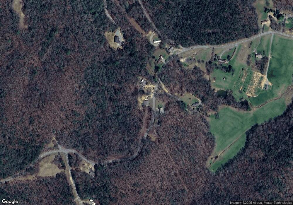
Map
Nearby Homes
- 2695 Highway 2
- 2695 Highway 2 Unit 3
- 2596 Highway 2
- 5 Serenity View
- 22.5 ac Highway 2 Unit TR 6
- 22.5 ac Highway 2
- 308 Hemlock Trail
- 2931 Highway 2
- 129 Old Bend Rd
- 222 Icy Ln
- 120 Sunrock Mountain Trc
- HEMLOCK Hemlock Trail
- 201 Jaquar Ln
- 120 Sunrock Mountain Trace
- LT 5 Sunrock Mountain Trace
- LT 4 Sunrock Mountain Trace
- 401 Sunrock Mountain Trc
- 1264 Sun Rock Mountain Rd
- LT 5 Sunrock Mountain Trc
- LT 4 Sunrock Mountain Trc
- 1900 Highway 2
- 1919 Highway 2
- 1860 Highway 2
- 1601 Highway 2
- 1851 Highway 2
- 1784 Highway 2
- 1717 Highway 2
- 0 Westwood Run
- 2105 Highway 2
- 1651 Highway 2
- LOT 1 Hwy 2
- 6296 Old Highway 2
- 0 Old Highway 2
- 151 Westwood Dr
- 111 Bear Rd
- 111 Chestnut Gap Rd
- 995 Chestnut Gap Rd
- 2596 Highway 2 Unit 1
- 151 Chestnut Gap Rd
- 233 Westwood Dr