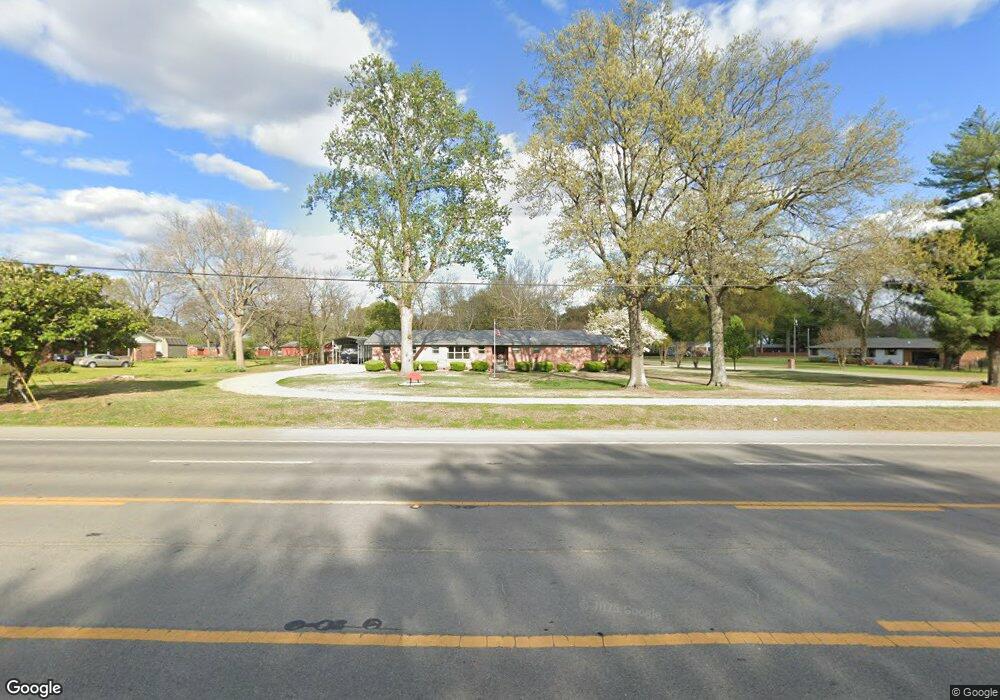
1900 Highway 367 N Newport, AR 72112
Estimated Value: $133,963 - $212,000
--
Bed
2
Baths
1,512
Sq Ft
$116/Sq Ft
Est. Value
About This Home
This home is located at 1900 Highway 367 N, Newport, AR 72112 and is currently estimated at $175,491, approximately $116 per square foot. 1900 Highway 367 N is a home located in Jackson County with nearby schools including Newport Elementary School and Newport High School.
Ownership History
Date
Name
Owned For
Owner Type
Purchase Details
Closed on
Jun 25, 2014
Sold by
Finis W Finis W
Bought by
Pry Douglas H and Pry Pamela S
Current Estimated Value
Home Financials for this Owner
Home Financials are based on the most recent Mortgage that was taken out on this home.
Original Mortgage
$97,102
Outstanding Balance
$74,018
Interest Rate
4.18%
Mortgage Type
New Conventional
Estimated Equity
$101,473
Purchase Details
Closed on
Jun 28, 2000
Bought by
Osier, Geneva J Revocable Tr
Purchase Details
Closed on
Aug 1, 1988
Bought by
Osier Finis W and % Gmac Mortgage Corp
Purchase Details
Closed on
Jul 1, 1987
Bought by
Holk Patricia K
Create a Home Valuation Report for This Property
The Home Valuation Report is an in-depth analysis detailing your home's value as well as a comparison with similar homes in the area
Home Values in the Area
Average Home Value in this Area
Purchase History
| Date | Buyer | Sale Price | Title Company |
|---|---|---|---|
| Pry Douglas H | $94,000 | -- | |
| Osier, Geneva J Revocable Tr | -- | -- | |
| Osier Finis W | $55,000 | -- | |
| Holk Patricia K | -- | -- |
Source: Public Records
Mortgage History
| Date | Status | Borrower | Loan Amount |
|---|---|---|---|
| Open | Pry Douglas H | $97,102 |
Source: Public Records
Tax History Compared to Growth
Tax History
| Year | Tax Paid | Tax Assessment Tax Assessment Total Assessment is a certain percentage of the fair market value that is determined by local assessors to be the total taxable value of land and additions on the property. | Land | Improvement |
|---|---|---|---|---|
| 2024 | $1,157 | $27,580 | $2,600 | $24,980 |
| 2023 | $1,051 | $20,220 | $2,400 | $17,820 |
| 2022 | $32 | $20,220 | $2,400 | $17,820 |
| 2021 | $32 | $20,220 | $2,400 | $17,820 |
| 2020 | $32 | $20,220 | $2,400 | $17,820 |
| 2019 | $32 | $20,220 | $2,400 | $17,820 |
| 2018 | $943 | $18,490 | $2,400 | $16,090 |
| 2017 | $943 | $18,490 | $2,400 | $16,090 |
| 2015 | -- | $18,490 | $2,400 | $16,090 |
| 2014 | -- | $13,270 | $1,600 | $11,670 |
| 2013 | -- | $18,230 | $3,500 | $14,730 |
| 2012 | -- | $13,270 | $1,600 | $11,670 |
Source: Public Records
Map
Nearby Homes
- 2208 John Cir
- 0 Robinson Rd
- 2412 Linwood St
- 1212 Graceland Dr
- 1217 Cherokee Dr
- 2708 Robinson St
- 1620 Brookfield Cir
- 1319 Cindy Ln
- 1303 Cindy Ln
- 2001 S Main St
- 2600 Hollywood St
- 2701 S Main St
- 3101 Lax St
- 1714 Dill St
- 203 Alice Ct
- 900 Josephine St
- 1407 Dill St
- 1311 Dill St
- 1801 Hines St
- 1900 Hines St
- 2000 Highway 367 N
- 2508 Normandy Dr
- 2500 Normandy Dr
- 2605 Normandy Dr
- 2004 Highway 367 N
- 1915 Highway 367 N
- 2600 Normandy Dr
- 1800 Highway 367 N
- 2001 Normandy Dr
- 2008 Highway 367 N
- 2005 Normandy Dr
- 2009 Normandy Dr
- 1708 Highway 367 N
- 2204 Highway 367 N
- 2000 Normandy Dr
- 2507 Virginia Ave
- 1805 Linden Cir
- 1704 Highway 367 N
- 1900 Linden Cir
- 2004 Normandy Dr