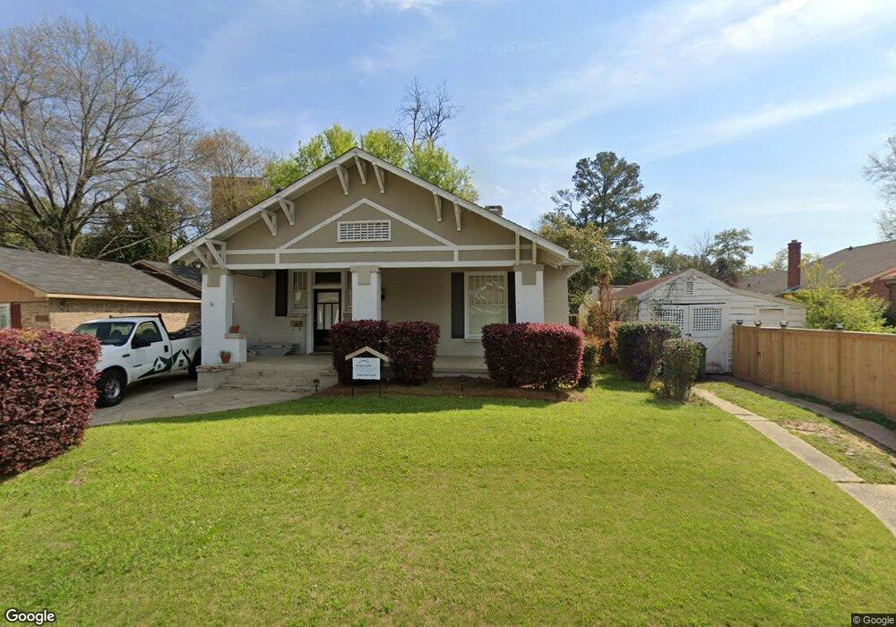
1900 Hill St Columbus, GA 31906
Wynnton Village NeighborhoodEstimated Value: $208,000 - $270,000
3
Beds
3
Baths
2,504
Sq Ft
$95/Sq Ft
Est. Value
About This Home
This home is located at 1900 Hill St, Columbus, GA 31906 and is currently estimated at $237,063, approximately $94 per square foot. 1900 Hill St is a home located in Muscogee County with nearby schools including Richards Middle School, Hardaway High School, and Wynnton Elementary School.
Ownership History
Date
Name
Owned For
Owner Type
Purchase Details
Closed on
Mar 3, 2017
Bought by
Miller Donna D
Current Estimated Value
Purchase Details
Closed on
Sep 6, 2016
Sold by
Steven
Bought by
Planet Home Lending Llc
Purchase Details
Closed on
Dec 20, 2013
Sold by
Myers Tyler K
Bought by
Holcomb Steven E and Holcomb Tiffany
Home Financials for this Owner
Home Financials are based on the most recent Mortgage that was taken out on this home.
Original Mortgage
$168,547
Interest Rate
4.25%
Mortgage Type
VA
Create a Home Valuation Report for This Property
The Home Valuation Report is an in-depth analysis detailing your home's value as well as a comparison with similar homes in the area
Home Values in the Area
Average Home Value in this Area
Purchase History
| Date | Buyer | Sale Price | Title Company |
|---|---|---|---|
| Miller Donna D | $106,000 | -- | |
| Planet Home Lending Llc | $130,278 | -- | |
| Holcomb Steven E | $165,000 | -- |
Source: Public Records
Mortgage History
| Date | Status | Borrower | Loan Amount |
|---|---|---|---|
| Previous Owner | Holcomb Steven E | $168,547 |
Source: Public Records
Tax History
| Year | Tax Paid | Tax Assessment Tax Assessment Total Assessment is a certain percentage of the fair market value that is determined by local assessors to be the total taxable value of land and additions on the property. | Land | Improvement |
|---|---|---|---|---|
| 2025 | $3,201 | $81,776 | $7,828 | $73,948 |
| 2024 | $3,201 | $81,776 | $7,828 | $73,948 |
| 2023 | $3,221 | $81,776 | $7,828 | $73,948 |
| 2022 | $2,170 | $53,136 | $7,828 | $45,308 |
| 2021 | $2,363 | $57,884 | $7,828 | $50,056 |
| 2020 | $2,364 | $57,884 | $7,828 | $50,056 |
| 2019 | $2,372 | $57,884 | $7,828 | $50,056 |
| 2018 | $2,372 | $57,884 | $7,828 | $50,056 |
| 2017 | $2,475 | $59,884 | $9,784 | $50,100 |
| 2016 | $2,175 | $66,001 | $10,003 | $55,998 |
| 2015 | $2,178 | $66,001 | $10,003 | $55,998 |
| 2014 | $2,729 | $66,001 | $10,003 | $55,998 |
| 2013 | -- | $83,961 | $10,003 | $73,958 |
Source: Public Records
Map
Nearby Homes
- 1242 18th Ave
- 1254 18th Ave
- 2551 Wynnton Rd
- 1500 E Dinglewood Dr
- 1228 Cedar Ave
- 2133 13th St
- 1814 Elmwood Dr
- 2134 13th St
- 1505 16th Ave
- 1620 Springer St
- 1557 18th Ave
- 1011 Blandford Ave
- 1001 Blandford Ave
- 2243 14th St
- 2114 Forest Ct
- 1333 Springer St
- 1701 Crest Dr
- 1342 16th St
- 1641 16th Ave
- 752 Portland Ave
Your Personal Tour Guide
Ask me questions while you tour the home.