Estimated Value: $452,000 - $567,000
3
Beds
3
Baths
2,234
Sq Ft
$229/Sq Ft
Est. Value
About This Home
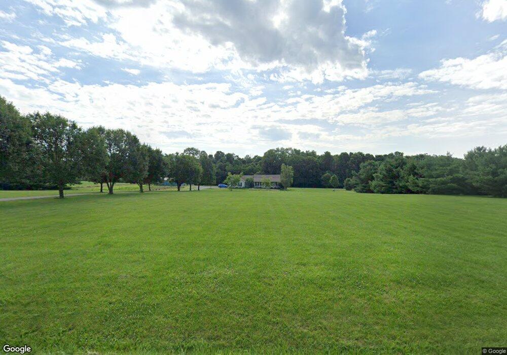
This home is located at 1900 Hook Rd, Xenia, OH 45385 and is currently estimated at $510,749, approximately $228 per square foot. 1900 Hook Rd is a home located in Greene County with nearby schools including Xenia High School and Legacy Christian Academy.
Ownership History
Date
Name
Owned For
Owner Type
Purchase Details
Closed on
Mar 30, 2010
Sold by
Roe Gregory O and Roe Kelli L
Bought by
Scott Dennis L and Scott Julie L
Current Estimated Value
Home Financials for this Owner
Home Financials are based on the most recent Mortgage that was taken out on this home.
Original Mortgage
$232,000
Outstanding Balance
$154,213
Interest Rate
4.96%
Mortgage Type
VA
Estimated Equity
$356,536
Purchase Details
Closed on
Oct 30, 1996
Sold by
Schroeder William A
Bought by
Roe Gregory O and Roe L
Home Financials for this Owner
Home Financials are based on the most recent Mortgage that was taken out on this home.
Original Mortgage
$27,500
Interest Rate
8.23%
Mortgage Type
New Conventional
Create a Home Valuation Report for This Property
The Home Valuation Report is an in-depth analysis detailing your home's value as well as a comparison with similar homes in the area
Home Values in the Area
Average Home Value in this Area
Purchase History
| Date | Buyer | Sale Price | Title Company |
|---|---|---|---|
| Scott Dennis L | $232,000 | Attorney | |
| Roe Gregory O | $37,500 | -- |
Source: Public Records
Mortgage History
| Date | Status | Borrower | Loan Amount |
|---|---|---|---|
| Open | Scott Dennis L | $232,000 | |
| Previous Owner | Roe Gregory O | $27,500 |
Source: Public Records
Tax History Compared to Growth
Tax History
| Year | Tax Paid | Tax Assessment Tax Assessment Total Assessment is a certain percentage of the fair market value that is determined by local assessors to be the total taxable value of land and additions on the property. | Land | Improvement |
|---|---|---|---|---|
| 2024 | $5,337 | $111,970 | $37,470 | $74,500 |
| 2023 | $5,337 | $111,970 | $37,470 | $74,500 |
| 2022 | $4,757 | $90,480 | $32,590 | $57,890 |
| 2021 | $4,817 | $90,480 | $32,590 | $57,890 |
| 2020 | $4,625 | $90,480 | $32,590 | $57,890 |
| 2019 | $4,241 | $77,880 | $28,630 | $49,250 |
| 2018 | $4,255 | $77,880 | $28,630 | $49,250 |
| 2017 | $4,138 | $77,880 | $28,630 | $49,250 |
| 2016 | $3,985 | $71,670 | $28,110 | $43,560 |
| 2015 | $3,995 | $71,670 | $28,110 | $43,560 |
| 2014 | $3,834 | $71,670 | $28,110 | $43,560 |
Source: Public Records
Map
Nearby Homes
- 1736 Winchester Rd
- 966 U S 68
- 0 U S 68
- 0 Gultice Rd Unit 940427
- 1444 Triple Crown Way
- 260 Pocahontas St
- 979 Mcdowell St
- 2676 Waynesville Jamestown Rd
- 733 State Route 380
- 55 Lake St
- 104 Ledbetter Rd
- 46 Lake St
- 847 S Detroit St
- 222 Washington St
- 1293 E Main St
- 654 E 3rd St
- 633 Xenia Ave
- 607 E Main St
- 400 S Detroit St
- 133 Hivling St