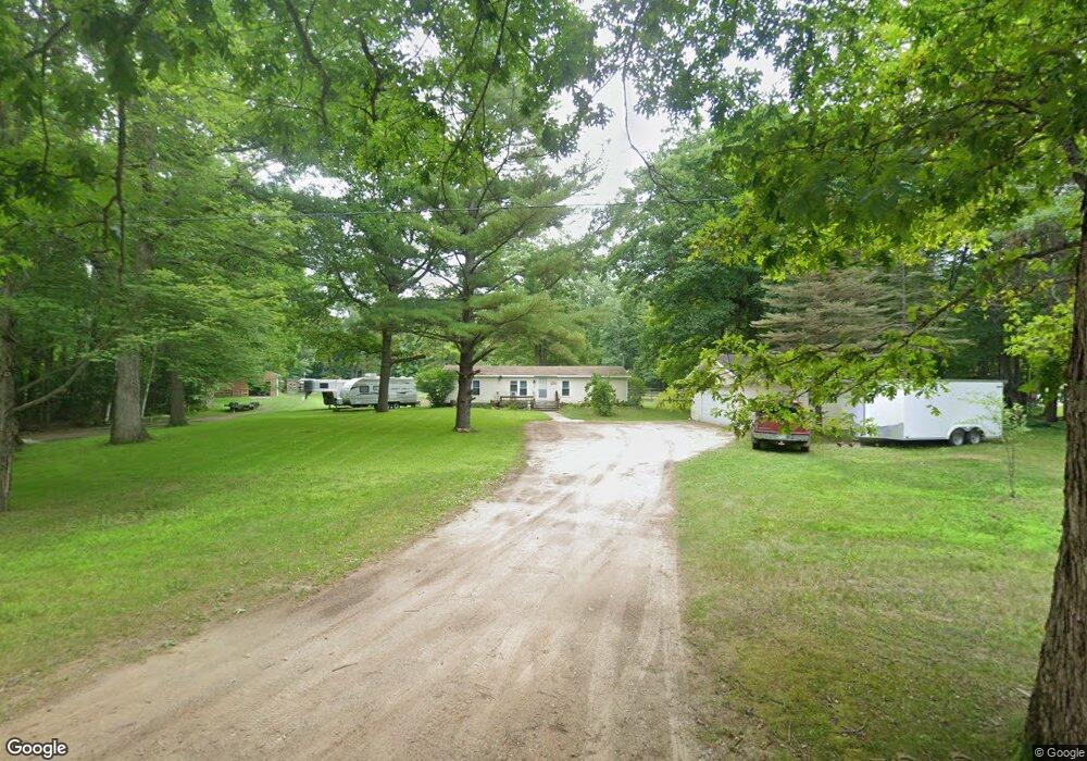
1900 N Castor Rd Sanford, MI 48657
Estimated Value: $223,620 - $251,000
3
Beds
2
Baths
1,352
Sq Ft
$174/Sq Ft
Est. Value
About This Home
This home is located at 1900 N Castor Rd, Sanford, MI 48657 and is currently estimated at $235,207, approximately $173 per square foot. 1900 N Castor Rd is a home located in Midland County with nearby schools including Coleman Elementary School and Coleman Junior/Senior High School.
Ownership History
Date
Name
Owned For
Owner Type
Purchase Details
Closed on
Apr 10, 2023
Sold by
Sanborn Bernice A
Bought by
Sanborn Bernice A and Parsons Tammie
Current Estimated Value
Purchase Details
Closed on
Nov 30, 2011
Sold by
Sanborn Earl and Sanborn Bernice A
Bought by
Sanborn Earl and Sanborn Bernice A
Purchase Details
Closed on
Dec 7, 2005
Sold by
Waldie Shannon M
Bought by
Sanborn Earl J and Sanborn Bernice A H
Purchase Details
Closed on
Jun 19, 1998
Sold by
Spann Michael K
Bought by
Waldie Shannon M
Create a Home Valuation Report for This Property
The Home Valuation Report is an in-depth analysis detailing your home's value as well as a comparison with similar homes in the area
Home Values in the Area
Average Home Value in this Area
Purchase History
| Date | Buyer | Sale Price | Title Company |
|---|---|---|---|
| Sanborn Bernice A | -- | None Listed On Document | |
| Sanborn Earl | -- | -- | |
| Sanborn Earl J | $110,000 | -- | |
| Waldie Shannon M | $80,000 | -- |
Source: Public Records
Tax History Compared to Growth
Tax History
| Year | Tax Paid | Tax Assessment Tax Assessment Total Assessment is a certain percentage of the fair market value that is determined by local assessors to be the total taxable value of land and additions on the property. | Land | Improvement |
|---|---|---|---|---|
| 2025 | $1,985 | $86,700 | $0 | $0 |
| 2024 | $696 | $80,800 | $0 | $0 |
| 2023 | $663 | $70,400 | $0 | $0 |
| 2022 | $1,837 | $63,700 | $0 | $0 |
| 2021 | $1,742 | $60,000 | $0 | $0 |
| 2020 | $1,746 | $57,900 | $0 | $0 |
| 2019 | $1,683 | $54,500 | $54,500 | $0 |
| 2018 | $1,656 | $53,700 | $53,700 | $0 |
| 2017 | $0 | $54,100 | $54,100 | $0 |
| 2016 | $1,537 | $52,100 | $52,100 | $0 |
| 2014 | -- | $51,200 | $51,200 | $0 |
Source: Public Records
Map
Nearby Homes
- 3390 W Mcnally Rd
- 2535 N 11 Mile Rd
- 956 N 11 Mile Rd
- 3717 W Wackerly Rd
- 0 W Short Rd Unit 25026044
- VL W Walter Rd
- V/L75 W Short Rd
- 3054 Grant St
- 2816 W K Bar L Dr
- 2560 W K-Bar-l Dr
- 3179 W Pere Marquette Rd
- 1448 W Sian Dr
- 3.96 Acres W Isabella Rd
- 1987 W Isabella Rd
- VL N V L Colman
- 132 N Nine Mile Rd
- 3100 W Isabella Rd
- 3250 W Isabella Rd
- 5437 W Isabella Rd
- 4395 W Isabella Rd