1900 Route 519 Canonsburg, PA 15317
Estimated Value: $308,000 - $862,852
4
Beds
4
Baths
4,620
Sq Ft
$130/Sq Ft
Est. Value
About This Home
This home is located at 1900 Route 519, Canonsburg, PA 15317 and is currently estimated at $601,951, approximately $130 per square foot. 1900 Route 519 is a home with nearby schools including Canon-Mcmillan Senior High School and Central Christian Academy.
Ownership History
Date
Name
Owned For
Owner Type
Purchase Details
Closed on
Sep 14, 2021
Sold by
Buxton Bridget and Corkery Bryan T
Bought by
Buxton Bridget L and Corkery Bryan T
Current Estimated Value
Home Financials for this Owner
Home Financials are based on the most recent Mortgage that was taken out on this home.
Original Mortgage
$737,400
Outstanding Balance
$672,373
Interest Rate
2.7%
Mortgage Type
Construction
Estimated Equity
-$70,422
Purchase Details
Closed on
Sep 24, 2020
Sold by
Dempsey Robert James
Bought by
Buxton Bridget L
Home Financials for this Owner
Home Financials are based on the most recent Mortgage that was taken out on this home.
Original Mortgage
$142,500
Interest Rate
2.9%
Mortgage Type
New Conventional
Purchase Details
Closed on
Dec 3, 2009
Sold by
Universal Life Church Inc
Bought by
Dempsey Robert J
Create a Home Valuation Report for This Property
The Home Valuation Report is an in-depth analysis detailing your home's value as well as a comparison with similar homes in the area
Home Values in the Area
Average Home Value in this Area
Purchase History
| Date | Buyer | Sale Price | Title Company |
|---|---|---|---|
| Buxton Bridget L | -- | None Available | |
| Buxton Bridget L | $190,000 | None Available | |
| Dempsey Robert J | $34,735 | -- |
Source: Public Records
Mortgage History
| Date | Status | Borrower | Loan Amount |
|---|---|---|---|
| Open | Buxton Bridget L | $737,400 | |
| Closed | Buxton Bridget L | $142,500 |
Source: Public Records
Tax History Compared to Growth
Tax History
| Year | Tax Paid | Tax Assessment Tax Assessment Total Assessment is a certain percentage of the fair market value that is determined by local assessors to be the total taxable value of land and additions on the property. | Land | Improvement |
|---|---|---|---|---|
| 2025 | $9,614 | $562,400 | $53,500 | $508,900 |
| 2024 | $8,976 | $562,400 | $53,500 | $508,900 |
| 2023 | $290 | $18,200 | $18,200 | $0 |
| 2022 | $290 | $18,200 | $18,200 | $0 |
| 2021 | $290 | $18,200 | $18,200 | $0 |
| 2020 | $275 | $18,200 | $18,200 | $0 |
| 2019 | $270 | $18,200 | $18,200 | $0 |
| 2018 | $265 | $18,200 | $18,200 | $0 |
| 2017 | $167 | $18,200 | $18,200 | $0 |
| 2016 | $167 | $4,791 | $4,791 | $0 |
| 2015 | $565 | $4,791 | $4,791 | $0 |
| 2014 | $174 | $4,791 | $4,791 | $0 |
| 2013 | $174 | $4,791 | $4,791 | $0 |
Source: Public Records
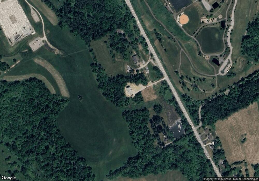
Map
Nearby Homes
- 226 Chubbic Rd
- 119 Linden Rd
- 215 Sierra Dr
- 104 Linden Rd
- 207 Linden Rd
- Lot 1 Linden Rd
- 53 Linden Rd
- 10 Marie St
- 31 Smith Place
- 249 Persimmon Ln
- 215 Persimmon Ln
- 0 Sassafras Ln
- 1049 Bayberry Dr
- 0 Route 519 Unit 1728830
- 0 Route 519 Unit 1706095
- Rockford Plan at Magnolia Ridge
- Tucson Plan at Magnolia Ridge
- Truman Plan at Magnolia Ridge
- Birmingham Plan at Magnolia Ridge
- Chattanooga Plan at Magnolia Ridge
- 1910 Route 519
- 1889 Route 519
- 1889 Route 519
- 1894 Route 519
- 1885 Pennsylvania 519
- 1867 Route 519
- 1867 Route 519
- 1914 Route 519
- 1819 Route 519
- 1920 Route 519
- 1811 Route 519
- 1811 Route 519
- LOT 201 Recreation Way
- 1779 Route 519
- 1775 Route 519
- 1775 Pennsylvania 519
- 201 Linden Rd
- 195 Linden Rd
- 195 Linden Rd
- 179 Linden Rd