1900 Scofield Ridge Pkwy Unit 2201 Austin, TX 78727
Scofield Farms NeighborhoodEstimated Value: $256,000 - $318,000
2
Beds
2
Baths
1,089
Sq Ft
$258/Sq Ft
Est. Value
About This Home
This home is located at 1900 Scofield Ridge Pkwy Unit 2201, Austin, TX 78727 and is currently estimated at $281,378, approximately $258 per square foot. 1900 Scofield Ridge Pkwy Unit 2201 is a home located in Travis County with nearby schools including Northwest Elementary School, Westview Middle School, and John B Connally High School.
Ownership History
Date
Name
Owned For
Owner Type
Purchase Details
Closed on
Feb 5, 2010
Sold by
Hudspeth James Donald
Bought by
Landry Shelley M
Current Estimated Value
Home Financials for this Owner
Home Financials are based on the most recent Mortgage that was taken out on this home.
Original Mortgage
$100,000
Outstanding Balance
$66,348
Interest Rate
5.08%
Mortgage Type
Purchase Money Mortgage
Estimated Equity
$215,030
Purchase Details
Closed on
May 14, 2004
Sold by
Continental Homes Of Texas Lp
Bought by
Hudspeth James Donald
Home Financials for this Owner
Home Financials are based on the most recent Mortgage that was taken out on this home.
Original Mortgage
$85,175
Interest Rate
5.53%
Mortgage Type
Purchase Money Mortgage
Create a Home Valuation Report for This Property
The Home Valuation Report is an in-depth analysis detailing your home's value as well as a comparison with similar homes in the area
Home Values in the Area
Average Home Value in this Area
Purchase History
| Date | Buyer | Sale Price | Title Company |
|---|---|---|---|
| Landry Shelley M | -- | None Available | |
| Hudspeth James Donald | -- | Travis Title Co |
Source: Public Records
Mortgage History
| Date | Status | Borrower | Loan Amount |
|---|---|---|---|
| Open | Landry Shelley M | $100,000 | |
| Previous Owner | Hudspeth James Donald | $85,175 |
Source: Public Records
Tax History Compared to Growth
Tax History
| Year | Tax Paid | Tax Assessment Tax Assessment Total Assessment is a certain percentage of the fair market value that is determined by local assessors to be the total taxable value of land and additions on the property. | Land | Improvement |
|---|---|---|---|---|
| 2025 | $4,098 | $251,894 | $30,971 | $220,923 |
| 2023 | $3,468 | $242,605 | $0 | $0 |
| 2022 | $5,032 | $224,368 | $0 | $0 |
| 2021 | $5,146 | $203,971 | $30,971 | $173,000 |
| 2020 | $4,507 | $182,273 | $30,971 | $151,302 |
| 2018 | $4,364 | $170,351 | $30,971 | $139,380 |
| 2017 | $3,931 | $152,472 | $19,357 | $133,115 |
| 2016 | $3,837 | $148,825 | $19,357 | $129,468 |
| 2015 | $3,486 | $140,900 | $19,357 | $121,543 |
| 2014 | $3,486 | $129,201 | $19,357 | $109,844 |
Source: Public Records
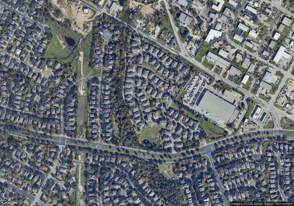
Map
Nearby Homes
- 1933 Chasewood Dr
- 1800 Montana Sky Dr
- 13517 Campesina Dr
- 13401 Lamplight Village Ave
- 1900 Magazine St
- 1913 Maize Bend Dr
- 2225 Lou John St
- 13201 Bourbon St
- 13523 Wyoming Valley Dr
- 13108 Lamplight Village Ave
- 13501 Metric Blvd Unit 42
- 2632 Century Park Blvd Unit 36
- 2632 Century Park Blvd Unit 34
- 2632 Century Park Blvd Unit 18
- 2632 Century Park Blvd Unit 38
- 2632 Century Park Blvd Unit 3
- 2307 Daisy Dr
- 2328 Rodeo Dr
- 13007 Irongate Cir
- 1915 Margalene Way
- 1900 Scofield Ridge Pkwy Unit 5601
- 1900 Scofield Ridge Pkwy Unit 6202
- 1900 Scofield Ridge Pkwy Unit 1401
- 1900 Scofield Ridge Pkwy Unit 903
- 1900 Scofield Ridge Pkwy Unit 303
- 1900 Scofield Ridge Pkwy Unit 5701
- 1900 Scofield Ridge Pkwy Unit 4202
- 1900 Scofield Ridge Pkwy Unit 4303
- 1900 Scofield Ridge Pkwy Unit 5301
- 1900 Scofield Ridge Pkwy
- 1900 Scofield Ridge Pkwy Unit 5803
- 1900 Scofield Ridge Pkwy Unit 5403
- 1900 Scofield Ridge Pkwy Unit 4103
- 1900 Scofield Ridge Pkwy Unit 3202
- 1900 Scofield Ridge Pkwy Unit 2801
- 1900 Scofield Ridge Pkwy Unit 2802
- 1900 Scofield Ridge Pkwy Unit 2601
- 1900 Scofield Ridge Pkwy Unit 6801
- 1900 Scofield Ridge Pkwy Unit 4203
- 1900 Scofield Ridge Pkwy Unit 4503