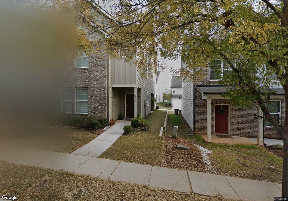
1900 Stanton Rd Atlanta, GA 30344
Campbellton Road NeighborhoodEstimated Value: $301,000 - $337,000
4
Beds
3
Baths
1,970
Sq Ft
$163/Sq Ft
Est. Value
About This Home
This home is located at 1900 Stanton Rd, Atlanta, GA 30344 and is currently estimated at $321,226, approximately $163 per square foot. 1900 Stanton Rd is a home with nearby schools including Hamilton E. Holmes Elementary School, Paul D. West Middle School, and Tri-Cities High School.
Ownership History
Date
Name
Owned For
Owner Type
Purchase Details
Closed on
Jun 26, 2020
Sold by
Hughes Thomas P
Bought by
Ashley Fredrick R
Current Estimated Value
Home Financials for this Owner
Home Financials are based on the most recent Mortgage that was taken out on this home.
Original Mortgage
$238,302
Outstanding Balance
$211,310
Interest Rate
3.1%
Mortgage Type
FHA
Estimated Equity
$109,916
Purchase Details
Closed on
Dec 12, 2019
Sold by
Villages At East Point Llc
Bought by
Hughes Thomas P
Purchase Details
Closed on
Sep 28, 2018
Sold by
Ep Land Development Llc
Bought by
Villages At East Point Llc
Create a Home Valuation Report for This Property
The Home Valuation Report is an in-depth analysis detailing your home's value as well as a comparison with similar homes in the area
Home Values in the Area
Average Home Value in this Area
Purchase History
| Date | Buyer | Sale Price | Title Company |
|---|---|---|---|
| Ashley Fredrick R | $242,699 | -- | |
| Hughes Thomas P | $241,107 | -- | |
| Villages At East Point Llc | $270,000 | -- |
Source: Public Records
Mortgage History
| Date | Status | Borrower | Loan Amount |
|---|---|---|---|
| Open | Ashley Fredrick R | $238,302 |
Source: Public Records
Tax History
| Year | Tax Paid | Tax Assessment Tax Assessment Total Assessment is a certain percentage of the fair market value that is determined by local assessors to be the total taxable value of land and additions on the property. | Land | Improvement |
|---|---|---|---|---|
| 2025 | $1,702 | $129,800 | $25,600 | $104,200 |
| 2023 | $3,293 | $116,680 | $34,840 | $81,840 |
| 2022 | $1,884 | $94,520 | $10,640 | $83,880 |
| 2021 | $3,088 | $91,800 | $10,360 | $81,440 |
| 2020 | $3,321 | $80,520 | $11,600 | $68,920 |
| 2019 | $150 | $11,120 | $11,120 | $0 |
| 2018 | $112 | $11,120 | $11,120 | $0 |
| 2017 | $116 | $3,960 | $3,960 | $0 |
| 2016 | $116 | $3,960 | $3,960 | $0 |
| 2015 | $175 | $3,960 | $3,960 | $0 |
| 2014 | -- | $3,960 | $3,960 | $0 |
Source: Public Records
Map
Nearby Homes
- 3111 Bayrose Cir
- 1821 Laurel Green Way Unit 92
- 9052 Bayross Cir
- 2357 Bayrose Cir Unit 57B
- 1829 Bayrose Cir
- 1735 Carter Cir
- 1804 Idlewood Dr
- 1300 Sweetbriar Cir
- 1724 Leslie Ave SW
- 1775 Hadlock St SW
- 1905 Fort Valley Dr SW
- 1722 Timothy Dr SW
- 1429 Womack Ave
- 1497 Elizabeth Ln
- 2146 Pinehurst Dr
- 1450 Hawthorne Way
- 1971 Honeysuckle Ln SW
- 1774 Beechwood Blvd
- 2190 Westover Dr
- 2153 Pinehurst Dr
- 1900 Stanton Rd Unit 53
- 1900 Stanton Rd
- 1900 Stanton Rd
- 1916 Stanton Rd
- 1202 Hawthorne Trail
- 1205 Hawthorne Tr Unit B
- 1201 Hawthorne Tr
- 1914 Stranton Rd Unit 60
- 1914 Stranton Rd
- 1918 Stanton Rd
- 1918 Stanton Rd
- 1204 Hawthorne Trail
- 1313 Rosemary Ln
- 1206 Hawthorne Trail
- 1920 Stanton Rd
- 0 Hawthorne Trail
- 0 Hawthorne Trail Unit 4089268
- 1205 Hawthorne Trail Unit 63
- 1205 Hawthorne Trail Unit B
- 1205 Hawthorne Trail