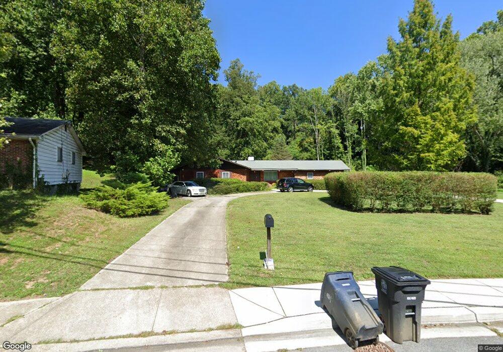
1900 Taylor Ave Fort Washington, MD 20744
Estimated Value: $475,963 - $597,000
--
Bed
3
Baths
2,592
Sq Ft
$201/Sq Ft
Est. Value
About This Home
This home is located at 1900 Taylor Ave, Fort Washington, MD 20744 and is currently estimated at $521,741, approximately $201 per square foot. 1900 Taylor Ave is a home located in Prince George's County with nearby schools including Fort Washington Forest Elementary School, Accokeek Academy, and Friendly High School.
Ownership History
Date
Name
Owned For
Owner Type
Purchase Details
Closed on
Dec 27, 2017
Sold by
Tusing Richard F and Estate Of Mary E Tusing
Bought by
Neal Steven W and Neal Darlene E
Current Estimated Value
Purchase Details
Closed on
Sep 26, 1966
Bought by
Tusing Junior L and Tusing Mary E
Create a Home Valuation Report for This Property
The Home Valuation Report is an in-depth analysis detailing your home's value as well as a comparison with similar homes in the area
Home Values in the Area
Average Home Value in this Area
Purchase History
| Date | Buyer | Sale Price | Title Company |
|---|---|---|---|
| Neal Steven W | $370,000 | Buyers Title Inc | |
| Neal Steven W | $370,000 | Buyers Title Inc | |
| Neal Steven W | $370,000 | Buyers Title Inc | |
| Tusing Junior L | $4,000 | -- |
Source: Public Records
Mortgage History
| Date | Status | Borrower | Loan Amount |
|---|---|---|---|
| Closed | Neal Steven W | $0 |
Source: Public Records
Tax History Compared to Growth
Tax History
| Year | Tax Paid | Tax Assessment Tax Assessment Total Assessment is a certain percentage of the fair market value that is determined by local assessors to be the total taxable value of land and additions on the property. | Land | Improvement |
|---|---|---|---|---|
| 2025 | $8,068 | $539,200 | -- | -- |
| 2024 | $8,068 | $516,100 | $103,700 | $412,400 |
| 2023 | $7,484 | $476,833 | $0 | $0 |
| 2022 | $6,900 | $437,567 | $0 | $0 |
| 2021 | $6,317 | $398,300 | $101,800 | $296,500 |
| 2020 | $12,323 | $387,867 | $0 | $0 |
| 2019 | $5,405 | $377,433 | $0 | $0 |
| 2018 | $4,584 | $367,000 | $76,800 | $290,200 |
| 2017 | $4,313 | $337,367 | $0 | $0 |
| 2016 | -- | $307,733 | $0 | $0 |
| 2015 | $4,248 | $278,100 | $0 | $0 |
| 2014 | $4,248 | $278,100 | $0 | $0 |
Source: Public Records
Map
Nearby Homes
- 1916 Taylor Ave
- 13318 Chalfont Ave
- 1410 Fillmore Rd
- 12904 Chalfont Ave
- 13503 Harrison Ave
- 12806 Monroe Ave
- 14005 Livingston Rd
- 0 Joseph Dr
- 2421 Baileys Pond Rd
- 13102 Gerry Rd
- 2608 Saint Marys View Rd
- 804 Cascade Dr
- 802 Cornish St
- 2001 Medinah Ridge Rd
- 13303 Pendleton St
- 13403 Pendleton St
- 12309 Livingston Rd
- 12204 Clear Creek Dr
- 2201 Herring Creek Dr
- 12116 Old Fort Rd
- 1836 Taylor Ave
- 1902 Taylor Ave
- 1834 Taylor Ave
- 1904 Taylor Ave
- 1833 Taylor Ave
- 1832 Taylor Ave
- 1905 Taylor Ave
- 1906 Taylor Ave
- 13203 Chalfont Ave
- 1829 Taylor Ave
- 13111 Chalfont Ave
- 13205 Chalfont Ave
- 1909 Taylor Ave
- 13201 Chalfont Ave
- 1710 Tioga Rd
- 13207 Chalfont Ave
- 1908 Taylor Ave
- 1830 Taylor Ave
- 13111 Parkridge Cir
- 1827 Taylor Ave