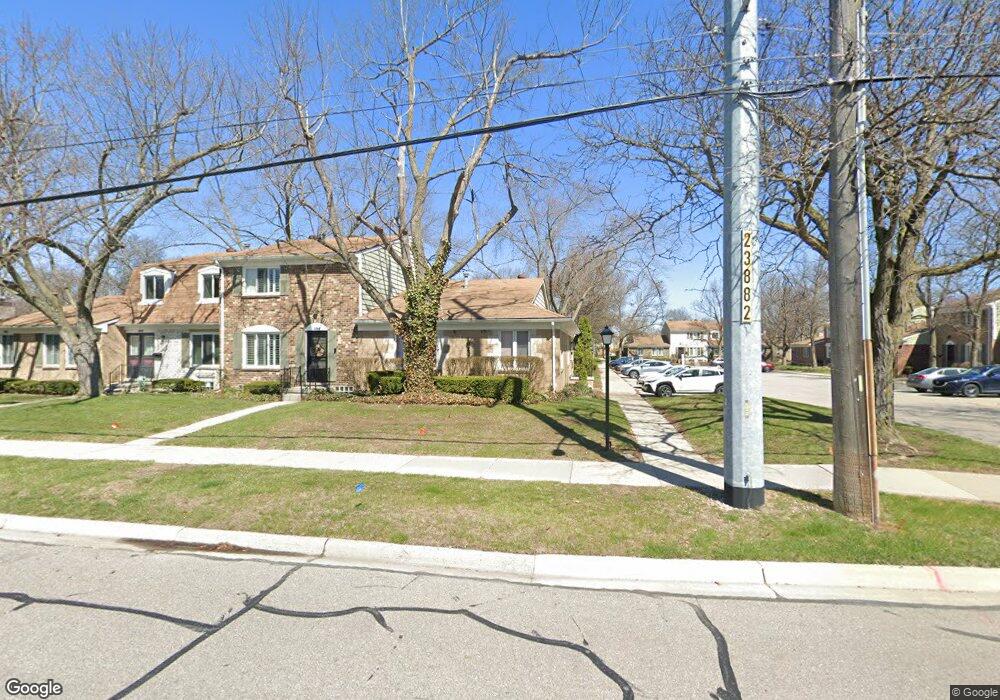
1900 Torquay Ave Unit 60 173 Royal Oak, MI 48073
Estimated Value: $248,000 - $273,000
3
Beds
3
Baths
1,480
Sq Ft
$178/Sq Ft
Est. Value
About This Home
This home is located at 1900 Torquay Ave Unit 60 173, Royal Oak, MI 48073 and is currently estimated at $262,840, approximately $177 per square foot. 1900 Torquay Ave Unit 60 173 is a home located in Oakland County with nearby schools including Alfred E. Upton Elementary School, Royal Oak Middle School, and Royal Oak High School.
Ownership History
Date
Name
Owned For
Owner Type
Purchase Details
Closed on
Dec 23, 2015
Sold by
Westerheide Sally Ann
Bought by
Peters Sabine
Current Estimated Value
Home Financials for this Owner
Home Financials are based on the most recent Mortgage that was taken out on this home.
Original Mortgage
$138,736
Outstanding Balance
$111,616
Interest Rate
4.4%
Mortgage Type
FHA
Estimated Equity
$151,224
Create a Home Valuation Report for This Property
The Home Valuation Report is an in-depth analysis detailing your home's value as well as a comparison with similar homes in the area
Home Values in the Area
Average Home Value in this Area
Purchase History
| Date | Buyer | Sale Price | Title Company |
|---|---|---|---|
| Peters Sabine | $151,500 | Devon Title Agency |
Source: Public Records
Mortgage History
| Date | Status | Borrower | Loan Amount |
|---|---|---|---|
| Open | Peters Sabine | $138,736 |
Source: Public Records
Tax History Compared to Growth
Tax History
| Year | Tax Paid | Tax Assessment Tax Assessment Total Assessment is a certain percentage of the fair market value that is determined by local assessors to be the total taxable value of land and additions on the property. | Land | Improvement |
|---|---|---|---|---|
| 2024 | $2,248 | $102,660 | $0 | $0 |
| 2022 | $2,656 | $90,160 | $0 | $0 |
| 2020 | $2,184 | $82,230 | $0 | $0 |
| 2018 | $2,656 | $65,430 | $0 | $0 |
| 2017 | $2,553 | $65,430 | $0 | $0 |
| 2015 | -- | $52,560 | $0 | $0 |
| 2014 | -- | $43,250 | $0 | $0 |
| 2011 | -- | $45,210 | $0 | $0 |
Source: Public Records
Map
Nearby Homes
- 4909 Coventry St Unit 287
- 1806 Torquay Ave
- 1936 Torquay Ave Unit 205
- 4952 Coventry St Unit 315
- 4921 N Crooks Rd Unit N-10
- 4909 Crooks Rd Unit C7
- 4909 Crooks Rd Unit 4
- 4921 Crooks Rd Unit M-10
- 5011 Thorncroft Ave
- 2420 Parmenter Blvd Unit 101
- 2440 Parmenter Blvd Unit 112
- 4859 Mansfield Ave Unit H5
- 4830 Briarwood Ave Unit 2
- 4859 Mansfield Ave Unit H-06
- 4910 Briarwood Ave Unit A 1
- 4820 Briarwood Ave Unit 4
- 4840 Briarwood Ave Unit 8
- 2344 W 14 Mile Rd Unit 7
- 846 Phillips Ave
- 908 W Elmwood Ave
- 1900 Torquay Ave
- 1900 Torquay Ave Unit 173
- 1910 Torquay Ave
- 1928 Torquay Ave
- 1920 Torquay Ave Unit 172
- 1934 Torquay Ave Unit 206
- 4928 Coventry St
- 1830 Torquay Ave Unit 189
- 1840 Torquay Ave Unit 185
- 1850 Torquay Ave
- 1940 Torquay Ave Unit 203
- 1810 Torquay Ave
- 1818 Torquay Ave
- 1818 Torquay Ave Unit 65, 240
- 1818 Torquay Ave Unit 240
- 1960 Torquay Ave
- 1931 Wickham St
- 1851 Torquay Ave
- 1831 Torquay Ave
- 1802 Torquay Ave Unit 190