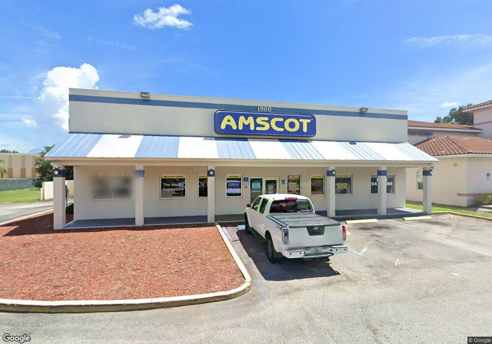
1900 Us Highway 1 Rockledge, FL 32955
Estimated Value: $2,306,094
--
Bed
--
Bath
2,688
Sq Ft
$858/Sq Ft
Est. Value
About This Home
This home is located at 1900 Us Highway 1, Rockledge, FL 32955 and is currently estimated at $2,306,094, approximately $857 per square foot. 1900 Us Highway 1 is a home located in Brevard County with nearby schools including Tropical Elementary School, Ronald McNair Magnet Middle School, and Rockledge Senior High School.
Ownership History
Date
Name
Owned For
Owner Type
Purchase Details
Closed on
Jan 13, 2017
Sold by
Larson David
Bought by
Jhr Linton Llc
Current Estimated Value
Purchase Details
Closed on
Apr 2, 2008
Sold by
Rockledge 1900 Llc
Bought by
Larsen David
Purchase Details
Closed on
Jan 2, 2008
Sold by
Lupo Philip F
Bought by
Rockledge 1900 Llc
Home Financials for this Owner
Home Financials are based on the most recent Mortgage that was taken out on this home.
Original Mortgage
$725,000
Interest Rate
6.05%
Purchase Details
Closed on
Jun 27, 2003
Sold by
Lupo Phillip F
Bought by
Niazi Wasim
Purchase Details
Closed on
Jan 29, 2003
Sold by
Lupo Philp F and Lupo Philip F
Bought by
Lupo Philip F
Purchase Details
Closed on
Dec 23, 1996
Sold by
Barnett Bk N A
Bought by
Lupo Philip F and Lupo Patricia A
Create a Home Valuation Report for This Property
The Home Valuation Report is an in-depth analysis detailing your home's value as well as a comparison with similar homes in the area
Home Values in the Area
Average Home Value in this Area
Purchase History
| Date | Buyer | Sale Price | Title Company |
|---|---|---|---|
| Jhr Linton Llc | $1,225,000 | Harbor Title Inc | |
| Larsen David | $1,050,000 | Century Title Closing & Escr | |
| Rockledge 1900 Llc | $600,000 | Central Coast Title Examinat | |
| Niazi Wasim | $90,000 | Beach Title Agency | |
| Lupo Philip F | $72,100 | -- | |
| Lupo Philip F | $175,000 | -- |
Source: Public Records
Mortgage History
| Date | Status | Borrower | Loan Amount |
|---|---|---|---|
| Previous Owner | Rockledge 1900 Llc | $725,000 |
Source: Public Records
Tax History Compared to Growth
Tax History
| Year | Tax Paid | Tax Assessment Tax Assessment Total Assessment is a certain percentage of the fair market value that is determined by local assessors to be the total taxable value of land and additions on the property. | Land | Improvement |
|---|---|---|---|---|
| 2025 | $6,989 | $454,100 | -- | -- |
| 2024 | $6,317 | $436,510 | -- | -- |
| 2023 | $6,317 | $363,430 | $155,200 | $208,230 |
| 2022 | $5,809 | $339,380 | $0 | $0 |
| 2021 | $6,084 | $338,320 | $128,040 | $210,280 |
| 2020 | $6,172 | $336,970 | $128,040 | $208,930 |
| 2019 | $6,121 | $329,390 | $128,040 | $201,350 |
| 2018 | $5,705 | $294,800 | $128,040 | $166,760 |
| 2017 | $5,549 | $277,000 | $0 | $277,000 |
| 2016 | $5,325 | $261,000 | $0 | $0 |
| 2015 | $4,956 | $230,000 | $97,000 | $133,000 |
| 2014 | $4,996 | $230,000 | $97,000 | $133,000 |
Source: Public Records
Map
Nearby Homes
- 64 Knollwood Dr
- 151 Eyster Blvd
- 0 Doctor Joe Lee Smith Dr
- 1307 Rockledge Dr
- 54 Ridge Ct
- 1882 Murrell Rd Unit J36
- 19 Knollwood Dr
- 9 Vermont Ave
- 21 Vermont Ave
- 813 Pine Shadows Ave
- 1136 Luther Dr
- 1720 Murrell Rd Unit 110
- 1134 Luther Dr
- 1049 Rockledge Dr Unit 107B
- 46 Burlington Ave
- 834 Pine Shadows Ave
- 26 Orange Ave
- 1407 Rockledge Dr
- 821 Hanover Ct
- 0 U S 1 Unit 735949
- 31 W Azalea Cir
- 33 W Azalea Cir
- 39 W Azalea Cir
- 29 W Azalea Cir
- 35 W Azalea Cir
- 37 W Azalea Cir
- 27 W Azalea Cir
- 30 W Azalea Cir
- 1043 W Azalea Cir
- 32 W Azalea Cir
- 25 W Azalea Cir
- 34 W Azalea Cir
- 36 W Azalea Cir
- 31 E Azalea Cir
- 1994 Rockledge Blvd
- 23 W Azalea Cir
- 84 Edwards Dr
- 33 E Azalea Cir
- 38 W Azalea Cir
- 40 W Azalea Cir