1900 Walnut St Bastrop, TX 78602
--
Bed
--
Bath
154,104
Sq Ft
8.31
Acres
About This Home
This home is located at 1900 Walnut St, Bastrop, TX 78602. 1900 Walnut St is a home located in Bastrop County with nearby schools including Emile Elementary School, Bastrop Intermediate School, and Bastrop Middle School.
Ownership History
Date
Name
Owned For
Owner Type
Purchase Details
Closed on
Jan 28, 2022
Sold by
Patterson Phillip A
Bought by
Kezar Sarah M and Engle Jake T
Purchase Details
Closed on
Feb 17, 2016
Sold by
Mcree Ronald
Bought by
Alaniz Gilberto and Alaniz Sonia
Home Financials for this Owner
Home Financials are based on the most recent Mortgage that was taken out on this home.
Original Mortgage
$152,000
Interest Rate
3.97%
Mortgage Type
Purchase Money Mortgage
Purchase Details
Closed on
Mar 20, 2013
Sold by
Six Walnut Ridge Apartments Lp
Bought by
Bastrop Walnut Ridge I Llc
Home Financials for this Owner
Home Financials are based on the most recent Mortgage that was taken out on this home.
Original Mortgage
$10,162
Interest Rate
3.59%
Mortgage Type
Assumption
Create a Home Valuation Report for This Property
The Home Valuation Report is an in-depth analysis detailing your home's value as well as a comparison with similar homes in the area
Home Values in the Area
Average Home Value in this Area
Purchase History
| Date | Buyer | Sale Price | Title Company |
|---|---|---|---|
| Kezar Sarah M | -- | Texas National Title | |
| Alaniz Gilberto | -- | Ttt | |
| Bastrop Walnut Ridge I Llc | -- | None Available |
Source: Public Records
Mortgage History
| Date | Status | Borrower | Loan Amount |
|---|---|---|---|
| Previous Owner | Alaniz Gilberto | $152,000 | |
| Previous Owner | Bastrop Walnut Ridge I Llc | $10,162 |
Source: Public Records
Tax History Compared to Growth
Tax History
| Year | Tax Paid | Tax Assessment Tax Assessment Total Assessment is a certain percentage of the fair market value that is determined by local assessors to be the total taxable value of land and additions on the property. | Land | Improvement |
|---|---|---|---|---|
| 2025 | $372,823 | $16,619,922 | -- | $16,619,922 |
| 2023 | $372,823 | $18,036,000 | $2,085,252 | $15,950,748 |
| 2022 | $340,793 | $15,683,048 | $2,085,252 | $13,597,796 |
| 2021 | $359,318 | $14,604,625 | $1,985,954 | $12,618,671 |
| 2020 | $312,551 | $12,477,573 | $1,050,873 | $11,426,700 |
| 2019 | $322,533 | $12,477,573 | $1,050,873 | $11,426,700 |
| 2018 | $323,756 | $12,477,573 | $1,050,873 | $11,426,700 |
| 2017 | $336,906 | $12,464,156 | $981,471 | $11,482,685 |
| 2016 | $314,786 | $11,645,786 | $1,050,877 | $10,594,909 |
| 2015 | $300,276 | $11,400,000 | $1,050,877 | $10,349,123 |
| 2014 | $300,276 | $11,400,000 | $1,050,877 | $10,349,123 |
Source: Public Records
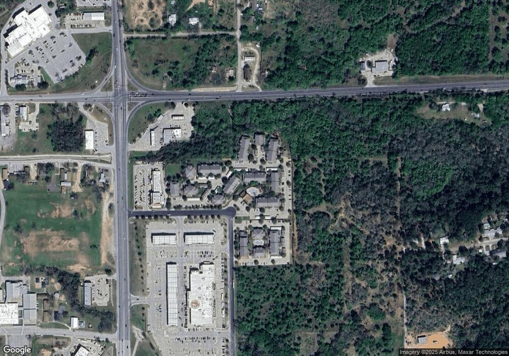
Map
Nearby Homes
- 1804 Chestnut
- 1900 Government
- 2000 Government
- 1900 College St
- 1409 Chestnut St
- 1162 State Highway 95
- 1904 Jasper St
- TBD Fayette St
- 1105 State Highway 95
- 1650 State Highway 95
- 2.15± AC College St
- 2000 South St
- 0 Timberforest Dr
- Blake Plan at Coleton Meadow - The Colony 45s
- Westlake Plan at Coleton Meadow - The Colony 50s
- Winchester Plan at Coleton Meadow - The Colony 50s
- Cheyenne II Plan at Coleton Meadow - The Colony 50s
- Medina II Plan at Coleton Meadow - The Colony 50s
- Lancaster Plan at Coleton Meadow - The Colony 50s
- Manchester II Plan at Coleton Meadow - The Colony 50s
- 1900 Walnut St
- 1805 Chestnut St
- R28614 Texas 150 Loop
- 2001 Chestnut St
- 1902 Chestnut St
- 1806 Chestnut St
- 1904 Chestnut St
- 1906 Chestnut St
- 1617 Pine St
- 1712 Chestnut St
- TBD State Highway 95
- 2800 State Highway 95
- 2142 Texas 95
- 1615 Pine St
- 1800 Chestnut St
- 2100 Austin
- 1605 Pine St
- 1103 Cp Johnson Ln
- 1603 Pine St