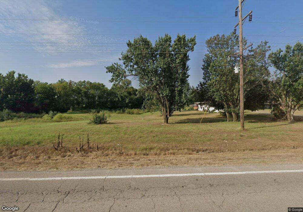
190005 Us Highway 59 Bokoshe, OK 74930
Estimated Value: $151,000 - $285,000
3
Beds
2
Baths
1,667
Sq Ft
$122/Sq Ft
Est. Value
About This Home
This home is located at 190005 Us Highway 59, Bokoshe, OK 74930 and is currently estimated at $202,590, approximately $121 per square foot. 190005 Us Highway 59 is a home.
Ownership History
Date
Name
Owned For
Owner Type
Purchase Details
Closed on
Jul 11, 2025
Sold by
Covey Johnny
Bought by
Taylor John
Current Estimated Value
Purchase Details
Closed on
Dec 3, 2024
Sold by
Covey Johnny and Covey Lisa
Bought by
Covey Johnny
Purchase Details
Closed on
Jul 15, 2024
Sold by
Covey Johnny and Covey Lisa
Bought by
Covey Lisa
Purchase Details
Closed on
Jul 14, 2017
Sold by
Perdue Brent M and Perdue Amana J
Bought by
County Leflore
Purchase Details
Closed on
Jun 9, 2009
Sold by
Gargus Gary Don and Gargus Pandora
Bought by
Perdue Brent M and Perdue Amanda J
Create a Home Valuation Report for This Property
The Home Valuation Report is an in-depth analysis detailing your home's value as well as a comparison with similar homes in the area
Home Values in the Area
Average Home Value in this Area
Purchase History
| Date | Buyer | Sale Price | Title Company |
|---|---|---|---|
| Taylor John | $276,000 | Old Republic National Title In | |
| Taylor John | $276,000 | Old Republic National Title In | |
| Covey Johnny | -- | None Listed On Document | |
| Covey Johnny | -- | None Listed On Document | |
| Covey Lisa | -- | None Listed On Document | |
| County Leflore | -- | None Available | |
| Perdue Brent M | $125,000 | -- |
Source: Public Records
Tax History Compared to Growth
Tax History
| Year | Tax Paid | Tax Assessment Tax Assessment Total Assessment is a certain percentage of the fair market value that is determined by local assessors to be the total taxable value of land and additions on the property. | Land | Improvement |
|---|---|---|---|---|
| 2025 | $2,117 | $24,843 | $2,627 | $22,216 |
| 2024 | $2,117 | $23,660 | $586 | $23,074 |
| 2023 | $2,117 | $12,698 | $1,258 | $11,440 |
| 2022 | $1,081 | $12,134 | $1,219 | $10,915 |
| 2021 | $1,035 | $11,556 | $1,179 | $10,377 |
| 2020 | $1,056 | $11,922 | $1,179 | $10,743 |
| 2019 | $1,151 | $12,340 | $1,179 | $11,161 |
| 2018 | $1,096 | $11,753 | $1,179 | $10,574 |
| 2017 | $1,003 | $11,502 | $1,179 | $10,323 |
| 2016 | $954 | $11,167 | $1,179 | $9,988 |
| 2015 | $850 | $10,842 | $1,179 | $9,663 |
| 2014 | $871 | $10,992 | $1,179 | $9,813 |
Source: Public Records
Map
Nearby Homes
- 27982 Highline Rd
- Tract 21 Prairie Bell Rd
- 200 Prairie Bell Rd
- Tract 21 Prairie Bell Rd
- 28747 Prairie Bell Rd
- 00035 Ashley Rd
- 35 Ashley Rd
- Tract 2-23 Hudson Corner Rd
- 013 N Rhino Rd
- 0 Rhino Rd
- 28605 Nubbin Ridge
- 25110 Prairie Bell Rd
- 22191 Carters Lake Rd
- 065 Nubbin Ridge
- TBD Bokoshe Mountain
- 15231 U S 59
- 23948 197th St
- 22788 Ralls Rock Ln
- Tbd Rock Jail Rd
- 41450 E County Road 1230
- 27636 Highline Rd
- 19308 275th Ave
- 27675 Highline Rd
- 19124 Us Highway 59
- 0 Hwy 9 Hwy Unit 2012794
- 18697 Us Highway 59
- 18647 280th Ave
- 19051 275th Ave
- 19097 275th Ave
- 19057 257th Ave
- 27444 Highline Rd
- 27462 Highline Rd
- 19147 Us Highway 59
- 19163 Us Highway 59
- 27248 Highline Rd
- 0 N 4650 Rd Unit 2341378
- 0 N 4650 Rd Unit 2341374
- 19191 Us Highway 59
- 19191 Us Highway 59
- 19001 Hudson Corner Rd
