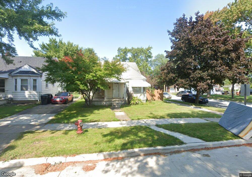
19003 Wood St Unit Bldg-Unit Melvindale, MI 48122
Estimated Value: $130,000 - $168,000
--
Bed
2
Baths
992
Sq Ft
$158/Sq Ft
Est. Value
About This Home
This home is located at 19003 Wood St Unit Bldg-Unit, Melvindale, MI 48122 and is currently estimated at $156,299, approximately $157 per square foot. 19003 Wood St Unit Bldg-Unit is a home located in Wayne County with nearby schools including Rogers Early Elementary School, Allendale Elementary School, and Julian O. Strong Middle School.
Ownership History
Date
Name
Owned For
Owner Type
Purchase Details
Closed on
Mar 12, 2018
Sold by
Dushefski Brian C and Dushefski Denise L
Bought by
Saeed Hamid Sa
Current Estimated Value
Purchase Details
Closed on
Jul 16, 2002
Sold by
Dushefski Denise L
Bought by
Dushefski Brian C
Home Financials for this Owner
Home Financials are based on the most recent Mortgage that was taken out on this home.
Original Mortgage
$10,000
Interest Rate
6.7%
Create a Home Valuation Report for This Property
The Home Valuation Report is an in-depth analysis detailing your home's value as well as a comparison with similar homes in the area
Home Values in the Area
Average Home Value in this Area
Purchase History
| Date | Buyer | Sale Price | Title Company |
|---|---|---|---|
| Saeed Hamid Sa | $67,000 | Title Source Inc | |
| Dushefski Brian C | -- | -- |
Source: Public Records
Mortgage History
| Date | Status | Borrower | Loan Amount |
|---|---|---|---|
| Previous Owner | Dushefski Brian C | $10,000 |
Source: Public Records
Tax History Compared to Growth
Tax History
| Year | Tax Paid | Tax Assessment Tax Assessment Total Assessment is a certain percentage of the fair market value that is determined by local assessors to be the total taxable value of land and additions on the property. | Land | Improvement |
|---|---|---|---|---|
| 2025 | $1,034 | $71,100 | $0 | $0 |
| 2024 | $1,034 | $59,800 | $0 | $0 |
| 2023 | $985 | $53,700 | $0 | $0 |
| 2022 | $1,914 | $47,500 | $0 | $0 |
| 2021 | $1,855 | $39,500 | $0 | $0 |
| 2020 | $1,848 | $36,600 | $0 | $0 |
| 2019 | $1,713 | $32,200 | $0 | $0 |
| 2018 | $1,024 | $30,500 | $0 | $0 |
| 2017 | $1,272 | $27,700 | $0 | $0 |
| 2016 | $1,624 | $25,800 | $0 | $0 |
| 2015 | $2,357 | $23,700 | $0 | $0 |
| 2013 | $2,290 | $24,000 | $0 | $0 |
| 2012 | $1,030 | $23,500 | $3,300 | $20,200 |
Source: Public Records
Map
Nearby Homes
- 19059 Wood St
- 18906 Henry St
- 19052 Harman St
- 19163 Henry St
- 19167 Henry St
- 18929 Harman St
- 18623 Wood St Unit 18623 Wood Street
- 18624 Hanna St
- 18859 Robert St
- 18557 Harman St
- 19657 Harman St
- 18530 Ruth St
- 18295 Henry St
- 15261 Demean Ave
- 18243 Wood St
- 18254 Harman St
- 24558 Outer Dr
- 18028 Ruth St
- 000 Harlow St
- 19211 Wall St
- 19003 Wood St
- 19011 Wood St
- 19021 Wood St
- 18925 Wood St
- 19008 Hanna St
- 19012 Hanna St
- 19033 Wood St
- 19020 Hanna St
- 18928 Hanna St Unit Bldg-Unit
- 18928 Hanna St
- 19000 Wood St
- 19028 Wood St
- 19012 Wood St
- 19028 Hanna St
- 19041 Wood St
- 18922 Hanna St
- 19036 Hanna St
- 18909 Wood St
- 18914 Hanna St
- 19046 Wood St