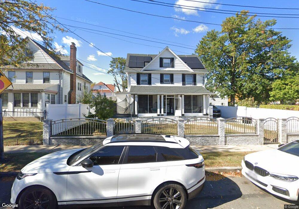
19007 113th Ave Saint Albans, NY 11412
Hollis NeighborhoodEstimated Value: $813,000 - $1,028,000
--
Bed
--
Bath
3,083
Sq Ft
$297/Sq Ft
Est. Value
About This Home
This home is located at 19007 113th Ave, Saint Albans, NY 11412 and is currently estimated at $917,086, approximately $297 per square foot. 19007 113th Ave is a home located in Queens County with nearby schools including P.S. 118 Lorraine Hansberry, I.S. 192 The Linden, and Riverton Street Charter School.
Ownership History
Date
Name
Owned For
Owner Type
Purchase Details
Closed on
Oct 20, 2017
Sold by
Singh Ghansham
Bought by
Bishundat Vinata V and Narine Rajesh
Current Estimated Value
Purchase Details
Closed on
Apr 17, 2015
Sold by
Estate Of Elbert Merriwether
Bought by
Singh Ghansham
Create a Home Valuation Report for This Property
The Home Valuation Report is an in-depth analysis detailing your home's value as well as a comparison with similar homes in the area
Home Values in the Area
Average Home Value in this Area
Purchase History
| Date | Buyer | Sale Price | Title Company |
|---|---|---|---|
| Bishundat Vinata V | $380,000 | -- | |
| Singh Ghansham | $325,000 | -- |
Source: Public Records
Tax History Compared to Growth
Tax History
| Year | Tax Paid | Tax Assessment Tax Assessment Total Assessment is a certain percentage of the fair market value that is determined by local assessors to be the total taxable value of land and additions on the property. | Land | Improvement |
|---|---|---|---|---|
| 2025 | $7,225 | $36,331 | $10,880 | $25,451 |
| 2024 | $6,300 | $35,971 | $12,077 | $23,894 |
| 2023 | $5,974 | $33,966 | $10,161 | $23,805 |
| 2022 | $5,477 | $46,800 | $16,800 | $30,000 |
| 2021 | $5,447 | $45,360 | $16,800 | $28,560 |
| 2020 | $6,409 | $44,460 | $16,800 | $27,660 |
| 2019 | $6,271 | $42,660 | $16,800 | $25,860 |
| 2018 | $5,770 | $28,305 | $13,078 | $15,227 |
| 2017 | $5,447 | $26,722 | $12,429 | $14,293 |
| 2016 | $5,044 | $26,722 | $12,429 | $14,293 |
| 2015 | $2,821 | $25,230 | $15,507 | $9,723 |
| 2014 | $2,821 | $24,980 | $18,409 | $6,571 |
Source: Public Records
Map
Nearby Homes
- 191-40 112th Rd
- 19022 111th Rd
- 18833 Keeseville Ave
- 190-59 112th Ave
- 190-63 112th Ave
- 18908 114th Rd
- 188-25 Mangin Ave
- 18823 Mangin Ave
- 194-16 112th Ave
- 187-44 Jordan Ave
- 188-07 Mangin Ave
- 111-06 Farmers Blvd
- 191-16 114th Rd
- 188-31 Jordan Ave
- 191-34 114th Rd
- 194-29 112th Ave
- 194- 24 111th Rd
- 19427 Murdock Ave
- 19432 113th Rd
- 194-23 114th Rd
- 19007 113th Ave
- 11245 Hannibal St
- 19008 Lewiston Ave
- 11230 Farmers Blvd
- 11233 Hannibal St
- 11302 Farmers Blvd
- 11306 Farmers Blvd
- 11255 Farmers Blvd
- 11310 Farmers Blvd
- 11246 Hannibal St
- 11236 Hannibal St
- 113-10 Farmers Blvd
- 191-20 112th Rd
- 11231 Farmers Blvd
- 18946 Lewiston Ave
- 11229 Farmers Blvd
- 11314 Farmers Blvd
- 19118 112th Rd
- 189-38 Hannibal St
- 191-18 112th Rd