190084 Loseke Rd Scottsbluff, NE 69361
Estimated Value: $257,308 - $331,000
3
Beds
2
Baths
1,444
Sq Ft
$199/Sq Ft
Est. Value
About This Home
This home is located at 190084 Loseke Rd, Scottsbluff, NE 69361 and is currently estimated at $287,077, approximately $198 per square foot. 190084 Loseke Rd is a home located in Scotts Bluff County with nearby schools including Westmoor Elementary School, Bluffs Middle School, and Scottsbluff Senior High School.
Ownership History
Date
Name
Owned For
Owner Type
Purchase Details
Closed on
May 26, 2020
Sold by
Rucsh Willard D
Bought by
Brunner Jeremy
Current Estimated Value
Home Financials for this Owner
Home Financials are based on the most recent Mortgage that was taken out on this home.
Original Mortgage
$174,400
Interest Rate
3.24%
Mortgage Type
New Conventional
Create a Home Valuation Report for This Property
The Home Valuation Report is an in-depth analysis detailing your home's value as well as a comparison with similar homes in the area
Home Values in the Area
Average Home Value in this Area
Purchase History
| Date | Buyer | Sale Price | Title Company |
|---|---|---|---|
| Brunner Jeremy | $218,000 | Nebraska Title |
Source: Public Records
Mortgage History
| Date | Status | Borrower | Loan Amount |
|---|---|---|---|
| Previous Owner | Brunner Jeremy | $174,400 |
Source: Public Records
Tax History Compared to Growth
Tax History
| Year | Tax Paid | Tax Assessment Tax Assessment Total Assessment is a certain percentage of the fair market value that is determined by local assessors to be the total taxable value of land and additions on the property. | Land | Improvement |
|---|---|---|---|---|
| 2025 | $2,474 | $231,995 | $32,520 | $199,475 |
| 2024 | $2,394 | $217,215 | $32,520 | $184,695 |
| 2023 | $3,349 | $181,132 | $20,825 | $160,307 |
| 2022 | $3,349 | $181,132 | $20,825 | $160,307 |
| 2021 | $3,086 | $164,191 | $20,849 | $143,342 |
| 2020 | $2,863 | $151,339 | $20,849 | $130,490 |
| 2019 | $2,851 | $150,890 | $18,800 | $132,090 |
| 2018 | $2,750 | $144,600 | $18,800 | $125,800 |
| 2017 | $2,625 | $137,544 | $18,800 | $118,744 |
| 2016 | $2,563 | $134,119 | $18,800 | $115,319 |
| 2015 | $2,543 | $134,119 | $18,800 | $115,319 |
| 2014 | $2,363 | $134,119 | $18,800 | $115,319 |
| 2012 | -- | $130,760 | $18,800 | $111,960 |
Source: Public Records
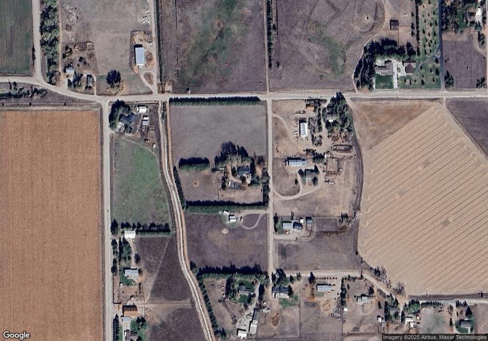
Map
Nearby Homes
- 2317 Kingsgate Rd
- 2517 Country Ln
- 50501 County Road 20
- 4318 Shady Ln
- 1126 Peacock Dr
- 2817 W 42nd St
- 60260 Highway 71
- 4301 Shady Ln
- 180436 River Rd
- 50144 Panorama Dr
- 501 W 38th St
- 597 Sagebrush Dr
- TBD W 36th St
- 0 W 36th St Unit 20254154
- 10 Stoney Creek Dr
- 1010 W 29th St
- 1011 W 27th St
- 409 Sandra Ct
- 3021 Avenue E
- 3415 Ross Ave
- 190140 Loseke Rd
- 190111 Loseke Rd
- 190151 Loseke Rd
- 190245 County Road G
- 190227 Loseke Rd
- 70037 County Road 19
- 190275 Loseke Rd
- 190198 Loseke Rd
- 70151 County Road 19
- 190313 Loseke Rd
- 190372 County Road G
- 70245 County Road 19
- 190347 Loseke Rd
- 190174 County Road U
- 70101 Bamrick Dr
- 70302 County Road 19
- 190498 County Road G
- 190407 Loseke Rd
- 70039 Bamrick Dr
- 190606 Pcs Rd