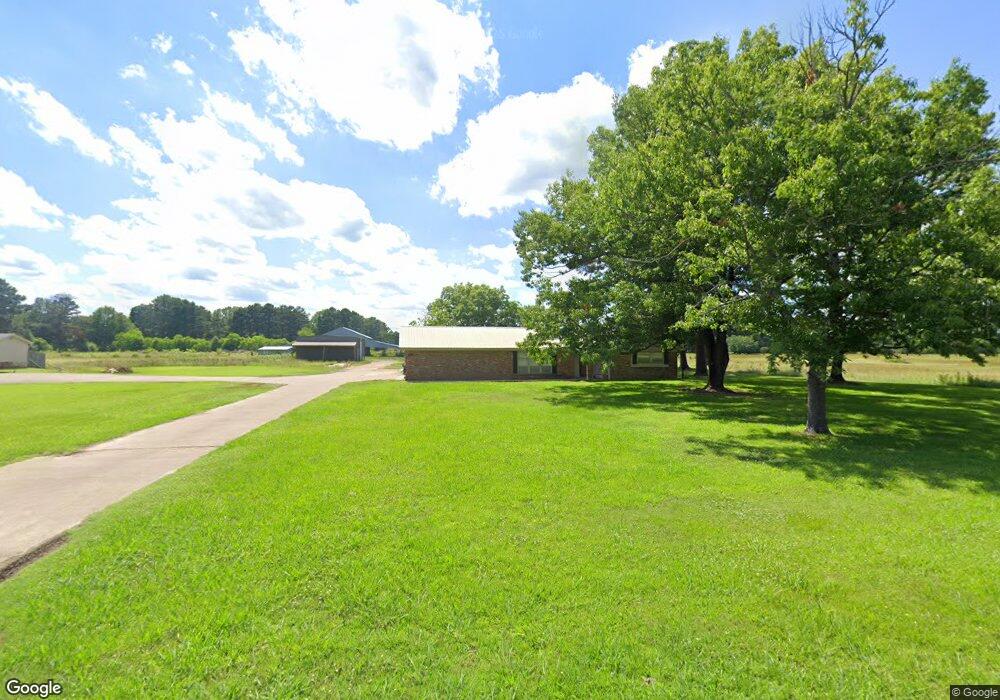
1901 Buck Wright Rd Ashdown, AR 71822
Estimated Value: $166,000 - $231,000
Studio
3
Baths
2,208
Sq Ft
$93/Sq Ft
Est. Value
About This Home
This home is located at 1901 Buck Wright Rd, Ashdown, AR 71822 and is currently estimated at $204,994, approximately $92 per square foot. 1901 Buck Wright Rd is a home located in Little River County with nearby schools including L.F. Henderson Interm. School, Ashdown Elementary School, and Ashdown Junior High School.
Ownership History
Date
Name
Owned For
Owner Type
Purchase Details
Closed on
Mar 17, 2014
Bought by
Raper Dwayne and Raper Eugenia W
Current Estimated Value
Purchase Details
Closed on
Dec 10, 2013
Bought by
Clevenger Angela Raper
Purchase Details
Closed on
Feb 8, 2005
Bought by
Clevenger Angela Raper and Clevenger L
Purchase Details
Closed on
Feb 1, 2005
Bought by
Clevenger Angela Raper and Clevenger L
Purchase Details
Closed on
Jun 4, 1973
Bought by
Wright E W
Create a Home Valuation Report for This Property
The Home Valuation Report is an in-depth analysis detailing your home's value as well as a comparison with similar homes in the area
Home Values in the Area
Average Home Value in this Area
Purchase History
| Date | Buyer | Sale Price | Title Company |
|---|---|---|---|
| Raper Dwayne | -- | -- | |
| Clevenger Angela Raper | -- | -- | |
| Clevenger Angela Raper | -- | -- | |
| Clevenger Angela Raper | -- | -- | |
| Wright E W | -- | -- |
Source: Public Records
Tax History
| Year | Tax Paid | Tax Assessment Tax Assessment Total Assessment is a certain percentage of the fair market value that is determined by local assessors to be the total taxable value of land and additions on the property. | Land | Improvement |
|---|---|---|---|---|
| 2025 | $1,498 | $35,750 | $3,580 | $32,170 |
| 2024 | $1,498 | $35,750 | $3,580 | $32,170 |
| 2023 | $1,433 | $35,750 | $3,580 | $32,170 |
| 2022 | $1,314 | $35,750 | $3,580 | $32,170 |
| 2021 | $1,194 | $28,500 | $1,010 | $27,490 |
| 2020 | $1,194 | $28,500 | $1,010 | $27,490 |
| 2019 | $1,194 | $28,500 | $1,010 | $27,490 |
| 2018 | $1,194 | $28,500 | $1,010 | $27,490 |
| 2017 | $1,194 | $28,500 | $1,010 | $27,490 |
| 2016 | $1,130 | $26,980 | $1,700 | $25,280 |
| 2015 | $1,130 | $26,980 | $1,700 | $25,280 |
| 2014 | $537 | $21,950 | $840 | $21,110 |
Source: Public Records
Map
Nearby Homes
- 1809 Buck Wright Rd
- 1715 Buck Wright Rd
- 1900 Buck Wright Rd
- 404 Brodie Ln
- 2003 Buck Wright Rd
- 420 Brodie Ln
- 405 Brodie Ln
- 320 Frankies Ln
- 440 Brodie Ln
- 431 Brodie Ln
- 2002 Buck Wright Rd
- 280 Frankies Ln
- 452 Brodie Ln
- 451 Brodie Ln
- 260 Frankies Ln
- 2104 Buck Wright Rd
- 512 Brodie Ln
- 461 Brodie Ln
- 507 Brodie Ln
- 516 Brodie Ln
Your Personal Tour Guide
Ask me questions while you tour the home.