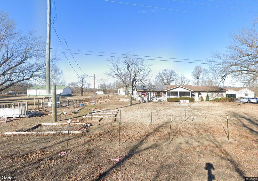
1901 E County Highway 450 Sikeston, MO 63801
Estimated Value: $180,439 - $239,000
Studio
--
Bath
1,128
Sq Ft
$186/Sq Ft
Est. Value
About This Home
This home is located at 1901 E County Highway 450, Sikeston, MO 63801 and is currently estimated at $210,110, approximately $186 per square foot. 1901 E County Highway 450 is a home with nearby schools including Scott County Elementary School, Scott County Middle School, and Thomas W. Kelly High School.
Ownership History
Date
Name
Owned For
Owner Type
Purchase Details
Closed on
Oct 13, 2020
Sold by
Ralph Marvin K
Bought by
Marvin K Ralph & Judith Ann Ralph Rev Tr
Current Estimated Value
Purchase Details
Closed on
Dec 6, 2019
Sold by
Greenlee Geneva and Jones Geneva E
Bought by
Ralph Marvin
Home Financials for this Owner
Home Financials are based on the most recent Mortgage that was taken out on this home.
Original Mortgage
$128,250
Outstanding Balance
$112,439
Interest Rate
3.75%
Mortgage Type
New Conventional
Estimated Equity
$97,671
Create a Home Valuation Report for This Property
The Home Valuation Report is an in-depth analysis detailing your home's value as well as a comparison with similar homes in the area
Purchase History
| Date | Buyer | Sale Price | Title Company |
|---|---|---|---|
| Marvin K Ralph & Judith Ann Ralph Rev Tr | -- | None Available | |
| Ralph Marvin | -- | Semo Title Company |
Source: Public Records
Mortgage History
| Date | Status | Borrower | Loan Amount |
|---|---|---|---|
| Open | Ralph Marvin | $128,250 |
Source: Public Records
Tax History
| Year | Tax Paid | Tax Assessment Tax Assessment Total Assessment is a certain percentage of the fair market value that is determined by local assessors to be the total taxable value of land and additions on the property. | Land | Improvement |
|---|---|---|---|---|
| 2025 | $1,000 | $22,710 | $0 | $0 |
| 2024 | $10 | $20,270 | $0 | $0 |
| 2023 | $997 | $20,270 | $0 | $0 |
| 2022 | $999 | $19,460 | $0 | $0 |
| 2021 | $966 | $19,460 | $0 | $0 |
| 2020 | $777 | $18,560 | $0 | $0 |
| 2019 | -- | $18,560 | $0 | $0 |
| 2018 | -- | $18,260 | $0 | $0 |
| 2017 | -- | $18,260 | $0 | $0 |
| 2014 | -- | $17,740 | $0 | $0 |
| 2011 | -- | $17,880 | $0 | $0 |
Source: Public Records
Map
Nearby Homes
- 2093 E County Highway 450
- 2163 E County Highway 450
- 37 Plantation Dr
- 114 County Highway 448
- 2047 State Highway H
- 361 County Highway 405
- 109 Lynn St
- 106 Jennings Ln
- 1704 State Highway Hh
- 608 State Highway H
- 190 Cypress Branch Rd
- 404 Aster
- 416 Secretariat
- 301 Citation Dr
- 405 Aster
- 407 Aster
- 308 Citation Dr
- 402 Secretariat
- 170 Cypress Branch Rd
- 418 Secretariat
- 1903 E County Highway 450
- 1875 E County Highway 450
- 1899 E County Highway 450
- 450 County Line Rd
- 1905 E County Highway 450
- 1909 E County Highway 450
- 1907 E County Highway 450
- 105 County Highway 449
- 21 County Highway 449
- 3 County Highway 449
- 43 County Highway 449
- 61 County Highway 449 Rd
- 85 County Highway 449
- 1981 E County Highway 450
- 115 County Highway 449
- 1956 E County Highway 450
- 60 County Highway 449
- 116 County Highway 449
- 131 County Highway 449
- 1992 E County Highway 450
Your Personal Tour Guide
Ask me questions while you tour the home.