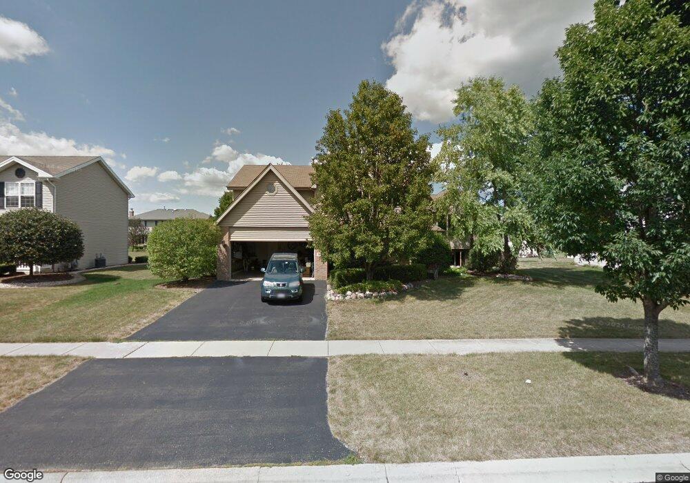
1901 Eagle Cir New Lenox, IL 60451
Estimated Value: $463,791 - $505,000
Studio
--
Bath
--
Sq Ft
11,326
Sq Ft
About This Home
This home is located at 1901 Eagle Cir, New Lenox, IL 60451 and is currently estimated at $487,698. 1901 Eagle Cir is a home located in Will County with nearby schools including Spencer Trail, Spencer Crossing Intermediate School, and Spencer Pointe.
Ownership History
Date
Name
Owned For
Owner Type
Purchase Details
Closed on
May 8, 2020
Sold by
Katula Wayne J and Katula Donna M
Bought by
Katula Wayne J and Katula Donna M
Current Estimated Value
Purchase Details
Closed on
May 14, 1998
Sold by
Nlsb
Bought by
Katula Wayne J and Katula Donna M
Home Financials for this Owner
Home Financials are based on the most recent Mortgage that was taken out on this home.
Original Mortgage
$145,000
Interest Rate
7.18%
Create a Home Valuation Report for This Property
The Home Valuation Report is an in-depth analysis detailing your home's value as well as a comparison with similar homes in the area
Home Values in the Area
Average Home Value in this Area
Purchase History
| Date | Buyer | Sale Price | Title Company |
|---|---|---|---|
| Katula Wayne J | -- | None Available | |
| Katula Wayne J | $201,500 | Chicago Title Insurance Co |
Source: Public Records
Mortgage History
| Date | Status | Borrower | Loan Amount |
|---|---|---|---|
| Previous Owner | Katula Wayne J | $145,000 |
Source: Public Records
Tax History
| Year | Tax Paid | Tax Assessment Tax Assessment Total Assessment is a certain percentage of the fair market value that is determined by local assessors to be the total taxable value of land and additions on the property. | Land | Improvement |
|---|---|---|---|---|
| 2024 | $11,509 | $149,820 | $36,393 | $113,427 |
| 2023 | $11,509 | $136,572 | $33,175 | $103,397 |
| 2022 | $10,367 | $125,815 | $30,562 | $95,253 |
| 2021 | $9,844 | $118,325 | $28,743 | $89,582 |
| 2020 | $9,566 | $114,103 | $27,717 | $86,386 |
| 2019 | $9,157 | $110,565 | $26,858 | $83,707 |
| 2018 | $8,947 | $106,753 | $25,932 | $80,821 |
| 2017 | $8,502 | $103,683 | $25,186 | $78,497 |
| 2016 | $8,254 | $100,908 | $24,512 | $76,396 |
| 2015 | $7,993 | $97,731 | $23,740 | $73,991 |
| 2014 | $7,993 | $96,525 | $23,447 | $73,078 |
| 2013 | $7,993 | $97,826 | $23,763 | $74,063 |
Source: Public Records
Map
Nearby Homes
- 1535 Glenbrooke Ln
- 2402 Bluestone Bay Dr
- 1956 Cornell Dr
- 732 Teal Dr Unit 1
- 1351 E Lincoln Hwy
- 2757 Genoa Dr
- 2019 Royalglen Dr
- 1851 Glenlake Ct
- 320 Garfield Ave
- 1869 Glenlake Ct
- 1587 Glenbrooke Ln
- 1583 Glenbrooke Ln
- 2931 Northwind Dr
- 1558 Glenbrooke Ln
- 1212 Georgias Way
- 318 William St
- 1738 Orchard Ln
- 1245 Georgias Way
- 1750 Orchard Ln
- 1193 Georgias Way
- 1891 Eagle Cir
- 1909 Eagle Cir
- 1890 Harvard Ln
- 1910 Harvard Ln
- 1880 Harvard Ln
- 1920 Harvard Ln
- 1875 Eagle Cir
- 1919 Eagle Cir
- 1900 Eagle Cir
- 1890 Eagle Cir
- 1870 Harvard Ln
- 1930 Harvard Ln
- 1930 Eagle Cir
- 1876 Eagle Cir
- 1861 Eagle Cir
- 1929 Eagle Cir
- 1860 Eagle Cir
- 1940 Harvard Ln
- 1909 Harvard Ln
- 1889 Harvard Ln
Your Personal Tour Guide
Ask me questions while you tour the home.