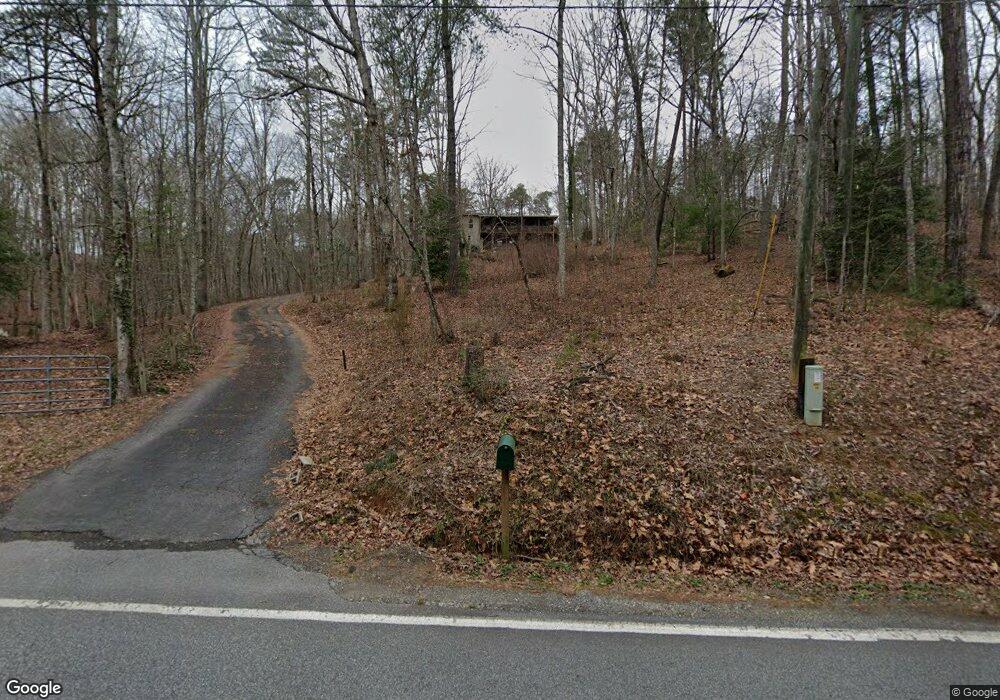
1901 Joe Black Rd Sautee Nacoochee, GA 30571
Estimated Value: $390,000 - $450,000
3
Beds
3
Baths
2,240
Sq Ft
$185/Sq Ft
Est. Value
About This Home
This home is located at 1901 Joe Black Rd, Sautee Nacoochee, GA 30571 and is currently estimated at $414,460, approximately $185 per square foot. 1901 Joe Black Rd is a home located in White County with nearby schools including Mount Yonah Elementary School, White County 9th Grade Academy, and White County Middle School.
Ownership History
Date
Name
Owned For
Owner Type
Purchase Details
Closed on
Jun 1, 2007
Sold by
Not Provided
Bought by
Orr Robert A and Orr Luci Edwards
Current Estimated Value
Home Financials for this Owner
Home Financials are based on the most recent Mortgage that was taken out on this home.
Original Mortgage
$180,000
Outstanding Balance
$109,189
Interest Rate
6.12%
Mortgage Type
New Conventional
Estimated Equity
$305,271
Create a Home Valuation Report for This Property
The Home Valuation Report is an in-depth analysis detailing your home's value as well as a comparison with similar homes in the area
Home Values in the Area
Average Home Value in this Area
Purchase History
| Date | Buyer | Sale Price | Title Company |
|---|---|---|---|
| Orr Robert A | $225,000 | -- |
Source: Public Records
Mortgage History
| Date | Status | Borrower | Loan Amount |
|---|---|---|---|
| Open | Orr Robert A | $180,000 |
Source: Public Records
Tax History Compared to Growth
Tax History
| Year | Tax Paid | Tax Assessment Tax Assessment Total Assessment is a certain percentage of the fair market value that is determined by local assessors to be the total taxable value of land and additions on the property. | Land | Improvement |
|---|---|---|---|---|
| 2025 | $2,072 | $104,104 | $18,488 | $85,616 |
| 2024 | $2,072 | $99,480 | $13,864 | $85,616 |
| 2023 | $1,960 | $86,440 | $12,324 | $74,116 |
| 2022 | $1,808 | $76,200 | $11,556 | $64,644 |
| 2021 | $1,684 | $62,796 | $9,128 | $53,668 |
| 2020 | $1,617 | $57,468 | $8,520 | $48,948 |
| 2019 | $1,622 | $57,468 | $8,520 | $48,948 |
| 2018 | $1,622 | $57,468 | $8,520 | $48,948 |
| 2017 | $1,530 | $54,676 | $8,520 | $46,156 |
| 2016 | $1,530 | $54,676 | $8,520 | $46,156 |
| 2015 | $1,347 | $126,170 | $7,912 | $42,556 |
| 2014 | $1,257 | $117,520 | $0 | $0 |
Source: Public Records
Map
Nearby Homes
- 1698 Joe Black Rd
- 142 Smokerise Dr
- 0 Sassafrass Ridge Dr Unit 10516590
- 4092 Helen Hwy
- 387 Smokerise Dr
- 603 Yonah Mountain Rd
- 0 Yonah Mountain Rd Unit 10631834
- 0 Yonah Mountain Rd Unit 7661561
- 406 Yonah Mountain Rd
- 42 Nomad Trail
- 105 Holiday Loop
- 68 Nomad Trail
- 16 Dutchman Way
- 0 Bald Eagle Path Unit 10596802
- 0 Bald Eagle Path Unit 418520
- 339 Cameron Rd
- 0 Thurmond Rd Unit 10620543
- 0 Thurmond Rd Unit 7662120
- 546 Matterhorn Dr
- 0 Geneva Place Unit 10648174
- 1863 Joe Black Rd
- 1955 Joe Black Rd
- 1972 Joe Black Rd
- 96 Wren Hill Rd
- 170 Terrys Place
- 100 Wren Hill Rd
- 2013 Joe Black Rd
- 1570 Joe Black Rd
- 166 Terrys Place Unit 17
- 166 Terrys Place
- 116 Whistle Stop Trail
- 1776 Joe Black Rd
- 19 Windy Acres Rd
- 62 Wren Hill Rd
- 116 Terrys Place
- 2081 Joe Black Rd
- 513 Windy Acres Rd
- 214 Wren Hill Rd
- 2078 Joe Black Rd
- 256 Whippoorwill Ln