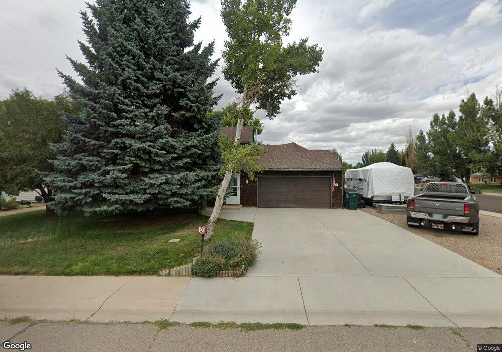
1901 Kennedy Ave Rock Springs, WY 82901
Estimated Value: $315,000 - $337,068
4
Beds
2
Baths
994
Sq Ft
$331/Sq Ft
Est. Value
About This Home
This home is located at 1901 Kennedy Ave, Rock Springs, WY 82901 and is currently estimated at $329,356, approximately $331 per square foot. 1901 Kennedy Ave is a home located in Sweetwater County with nearby schools including Rock Springs Junior High School, Rock Springs High School, and Holy Spirit Catholic School.
Ownership History
Date
Name
Owned For
Owner Type
Purchase Details
Closed on
Dec 12, 2023
Sold by
Bournazian Michael Kurtis
Bought by
Bournazian Michael K and Bournazian Wendy Lynn
Current Estimated Value
Purchase Details
Closed on
May 18, 2015
Sold by
Gary Burstad and Gary Nancy
Bought by
Bournazian Michael K
Home Financials for this Owner
Home Financials are based on the most recent Mortgage that was taken out on this home.
Original Mortgage
$280,612
Interest Rate
3.73%
Mortgage Type
New Conventional
Create a Home Valuation Report for This Property
The Home Valuation Report is an in-depth analysis detailing your home's value as well as a comparison with similar homes in the area
Home Values in the Area
Average Home Value in this Area
Purchase History
| Date | Buyer | Sale Price | Title Company |
|---|---|---|---|
| Bournazian Michael K | -- | None Listed On Document | |
| Bournazian Michael K | $350,765 | Nationwide Title Clearing Inc |
Source: Public Records
Mortgage History
| Date | Status | Borrower | Loan Amount |
|---|---|---|---|
| Previous Owner | Bournazian Michael K | $280,612 |
Source: Public Records
Tax History Compared to Growth
Tax History
| Year | Tax Paid | Tax Assessment Tax Assessment Total Assessment is a certain percentage of the fair market value that is determined by local assessors to be the total taxable value of land and additions on the property. | Land | Improvement |
|---|---|---|---|---|
| 2025 | $2,267 | $22,808 | $3,206 | $19,602 |
| 2024 | $2,267 | $30,652 | $4,275 | $26,377 |
| 2023 | $2,151 | $29,712 | $4,275 | $25,437 |
| 2022 | $1,956 | $26,766 | $4,275 | $22,491 |
| 2021 | $1,931 | $26,361 | $4,275 | $22,086 |
| 2020 | $1,884 | $25,750 | $4,275 | $21,475 |
| 2019 | $1,841 | $25,350 | $4,275 | $21,075 |
| 2018 | $1,775 | $24,383 | $4,275 | $20,108 |
| 2017 | $1,762 | $24,097 | $4,275 | $19,822 |
| 2015 | -- | $22,524 | $0 | $0 |
| 2014 | -- | $22,220 | $0 | $0 |
Source: Public Records
Map
Nearby Homes
- 907 Garfield Ln
- 212 Taylor St
- 1025 Quincy Dr
- 1065 Foothill Blvd
- 1050 Truman St
- 1010 Winchester Blvd
- 516 Oak Creek Dr
- 1128 Winchester Blvd
- 916 Peachwood Dr
- 3501b Cleveland Dr
- 3406 Madison Dr
- 1012 Palomino St
- 314 Tamarack Dr
- 911 Laramie St
- 1405 Louise Ln
- 920 Laramie St
- 1001 Gateway Blvd
- 1415 Louise Ln
- 101 College Ct
- 1407 Kaye Way
- 1901 Kennedy Ave Unit Quincy
- 1907 Kennedy Ave
- 806 Quincy Dr
- 1815 Kennedy Ave
- 812 Quincy Dr
- 1913 Kennedy Ave
- 807 Monroe Dr
- 807 Monroe Dr Unit Kennedy
- 807 Monroe Dr Unit Reagan & Kennedy
- 1910 Kennedy Ave
- 807 Quincy Dr
- 813 Monroe Dr
- 1816 Kennedy Ave
- 818 Quincy Dr
- 247 Polk St
- 709 Monroe Dr
- 251 Polk St
- 813 Quincy Dr
- 819 Monroe Dr
- 255 Polk St