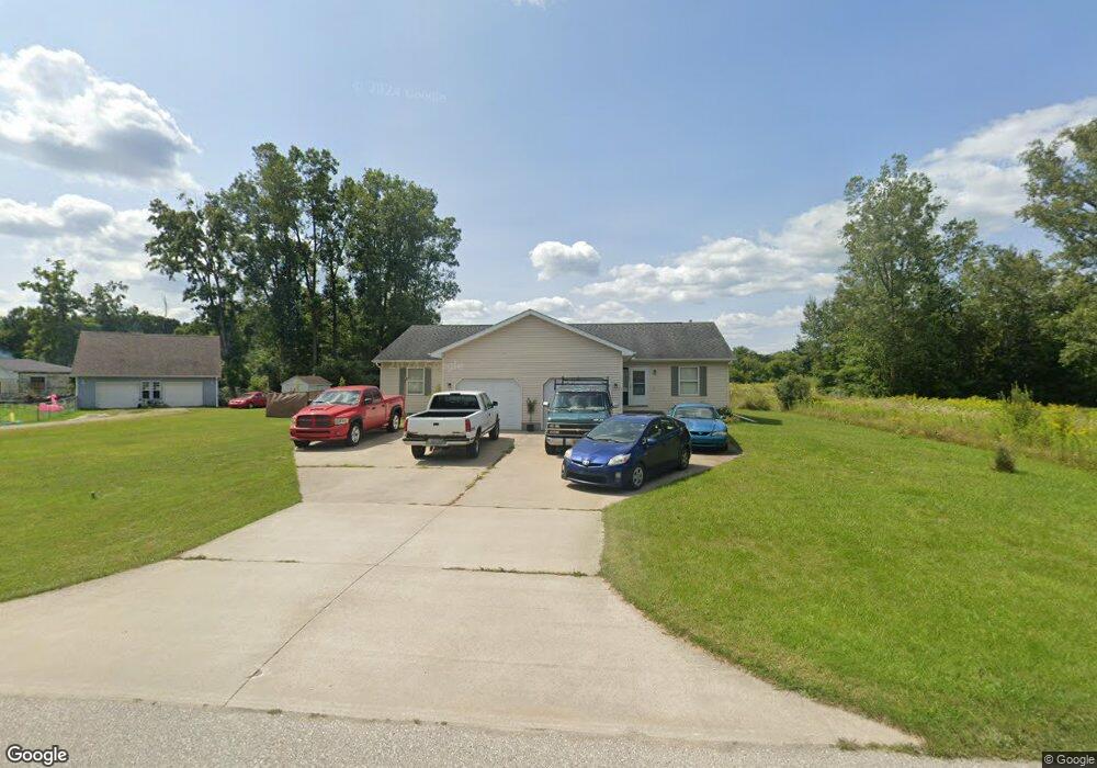
1901 Leland Rd Kimball, MI 48074
Estimated Value: $203,000 - $242,000
2
Beds
1
Bath
2,190
Sq Ft
$105/Sq Ft
Est. Value
About This Home
This home is located at 1901 Leland Rd, Kimball, MI 48074 and is currently estimated at $230,597, approximately $105 per square foot. 1901 Leland Rd is a home located in St. Clair County with nearby schools including Kimball Elementary School, Central Middle School, and Port Huron High School.
Ownership History
Date
Name
Owned For
Owner Type
Purchase Details
Closed on
Aug 4, 2006
Sold by
Varty Daniel and Varty Anita
Bought by
Ward John D
Current Estimated Value
Home Financials for this Owner
Home Financials are based on the most recent Mortgage that was taken out on this home.
Original Mortgage
$144,000
Outstanding Balance
$86,737
Interest Rate
6.82%
Mortgage Type
New Conventional
Estimated Equity
$143,860
Create a Home Valuation Report for This Property
The Home Valuation Report is an in-depth analysis detailing your home's value as well as a comparison with similar homes in the area
Home Values in the Area
Average Home Value in this Area
Purchase History
| Date | Buyer | Sale Price | Title Company |
|---|---|---|---|
| Ward John D | $180,000 | Huron Title Company |
Source: Public Records
Mortgage History
| Date | Status | Borrower | Loan Amount |
|---|---|---|---|
| Open | Ward John D | $144,000 |
Source: Public Records
Tax History Compared to Growth
Tax History
| Year | Tax Paid | Tax Assessment Tax Assessment Total Assessment is a certain percentage of the fair market value that is determined by local assessors to be the total taxable value of land and additions on the property. | Land | Improvement |
|---|---|---|---|---|
| 2025 | $3,229 | $110,300 | $0 | $0 |
| 2024 | $2,145 | $103,700 | $0 | $0 |
| 2023 | $1,994 | $98,300 | $0 | $0 |
| 2022 | $2,899 | $96,600 | $0 | $0 |
| 2021 | $2,686 | $87,300 | $0 | $0 |
| 2020 | $2,686 | $86,700 | $86,700 | $0 |
| 2019 | $2,639 | $75,400 | $0 | $0 |
| 2018 | $2,730 | $79,200 | $0 | $0 |
| 2016 | $1,760 | $85,000 | $0 | $0 |
| 2015 | -- | $87,400 | $87,400 | $0 |
| 2014 | -- | $81,600 | $81,600 | $0 |
| 2013 | -- | $103,200 | $0 | $0 |
Source: Public Records
Map
Nearby Homes
- 1830 Leland Rd
- 4632 Cloverdale Ln
- V/L Allen
- 4595 Griswold Rd
- 1701 Allen Rd
- 1895 Range Rd
- 00 Howard Rd
- 0000 Range Rd
- 1405 Range Rd
- 00 Range Rd
- 0 Allen Rd Unit 50185789
- 0 Allen Rd Unit 20250008612
- 0 Allen Rd Unit 20250008597
- 4466 Dove Rd
- 5035 Burma Rd
- 0 Wall Rd Unit 50185999
- 0 Lapeer Rd Unit 50185790
- 4380 Lapeer Rd
- 1091 Allen Rd
- 00 Hopps Ave