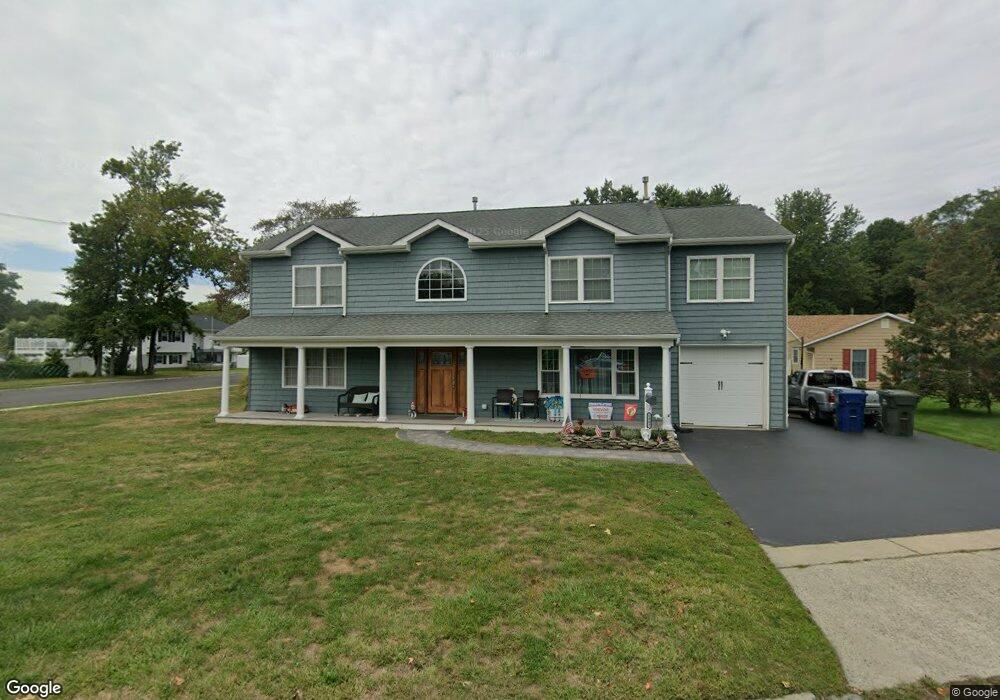
1901 Logan Rd Ocean, NJ 07712
Wanamassa NeighborhoodEstimated Value: $698,000 - $935,000
4
Beds
3
Baths
2,545
Sq Ft
$314/Sq Ft
Est. Value
About This Home
This home is located at 1901 Logan Rd, Ocean, NJ 07712 and is currently estimated at $797,861, approximately $313 per square foot. 1901 Logan Rd is a home located in Monmouth County with nearby schools including Ocean Township High School, St. Mary of the Assumption School, and Our Lady of Mount Carmel School.
Ownership History
Date
Name
Owned For
Owner Type
Purchase Details
Closed on
Mar 5, 2009
Sold by
Horn Walter Clayton and Horn Bruce
Bought by
Horn Edward W and Horn Michelle L
Current Estimated Value
Home Financials for this Owner
Home Financials are based on the most recent Mortgage that was taken out on this home.
Original Mortgage
$178,000
Interest Rate
5.18%
Mortgage Type
Stand Alone Refi Refinance Of Original Loan
Create a Home Valuation Report for This Property
The Home Valuation Report is an in-depth analysis detailing your home's value as well as a comparison with similar homes in the area
Home Values in the Area
Average Home Value in this Area
Purchase History
| Date | Buyer | Sale Price | Title Company |
|---|---|---|---|
| Horn Edward W | $223,000 | None Available |
Source: Public Records
Mortgage History
| Date | Status | Borrower | Loan Amount |
|---|---|---|---|
| Closed | Horn Edward W | $178,000 |
Source: Public Records
Tax History
| Year | Tax Paid | Tax Assessment Tax Assessment Total Assessment is a certain percentage of the fair market value that is determined by local assessors to be the total taxable value of land and additions on the property. | Land | Improvement |
|---|---|---|---|---|
| 2025 | $9,256 | $671,100 | $404,800 | $266,300 |
| 2024 | $9,104 | $637,000 | $376,800 | $260,200 |
| 2023 | $9,104 | $584,700 | $331,700 | $253,000 |
| 2022 | $8,367 | $437,600 | $196,700 | $240,900 |
| 2021 | $8,367 | $417,700 | $196,700 | $221,000 |
| 2020 | $8,374 | $412,700 | $196,700 | $216,000 |
| 2019 | $7,980 | $384,400 | $169,700 | $214,700 |
| 2018 | $7,988 | $374,500 | $169,700 | $204,800 |
| 2017 | $7,776 | $363,200 | $169,700 | $193,500 |
| 2016 | $8,435 | $354,100 | $160,300 | $193,800 |
| 2015 | $8,207 | $349,100 | $160,300 | $188,800 |
| 2014 | $7,622 | $329,100 | $138,200 | $190,900 |
Source: Public Records
Map
Nearby Homes
- 1124 Jeffrey Ave
- 1125 Interlaken Ave
- 3104 Sunset Ave
- 909 Brookside Ave
- 4 Keleigh Place
- 25 Surrey Ln
- 2 Milwin Ct
- 4 Milwin Ct
- 6 Surrey Ln
- 606 Bridlemere Ave
- 1303 Laurel Ave
- 26 Bruns Rd
- 34 Bruns Rd
- 514 Deal Rd
- 1405 Wanamassa Rd
- 155 Jefferson Dr
- 615 Corlies Ave
- 1205 Jeffrey St
- 611 Blanchard Pkwy
- 607 Wildwood Rd
- 1903 Logan Rd
- 1201 Thomas Ave
- 1129 Brower Blvd
- 1805 Logan Rd
- 1130 Jeffrey Ave
- 1202 Thomas Ave
- 1202 Thomas Ave Unit WINTER
- 1203 Thomas Ave
- 1202 Thomas Ave
- 1130 Brower Blvd
- 1128 Jeffrey Ave
- 0 Thomas Ave Unit 22313882
- 0 Thomas Ave
- 1800 Logan Rd
- 1127 Brower Blvd
- 1201 Doris Ave
- 1204 Thomas Ave
- 2001 Logan Rd
- 1806 Logan Rd
- 1126 Jeffrey Ave
Your Personal Tour Guide
Ask me questions while you tour the home.